Kananaskis, AB, Canada
22 September 2021
Solo
Great scrambling on friction slabs
This unnamed peak along the long ridge connecting Highwood Peak in the south with Shunga-la-she in the north has been on my mind for a number of years. I envisaged it to be a great exploratory trip, though Andrew Nugara’s account from 2009 didn’t sound very enticing. He encountered so much loose and crumbly rock on his ascent that he even ended up calling it “Crumble Peak” in his report. Fortunately I encountered almost no crumbly rock on my route, so I’ll refer to it by the more neutral name mentioned in David P. Jones’s Rockies South guidebook: North Highwood Peak.
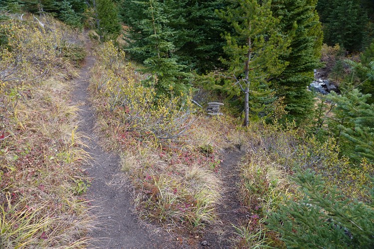
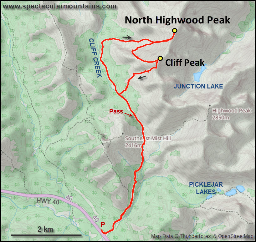
The approach for this peak is via the Picklejar Creek trail that starts at a small, unsigned parking lot (now decommissioned). This approach is absolutely wonderful: the trail is in great shape, rises at an even grade without any unnecessary ups and downs, and has none of the crowds typically found on neighboring Lantern Creek trail for Picklejar Lakes. Not much had changed since my last time here when I went up Highwood Peak in 2019. There is a bypass trail in the woods some 20 m north of Picklejar Creek in the first few hundred metres starting from the parking lot where the former main trail was washed out. The bypass then briefly enters the creek bed (dry) before joining the former main trail where it rises above the valley on the left.
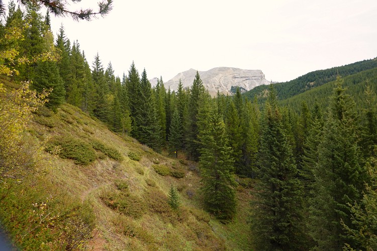
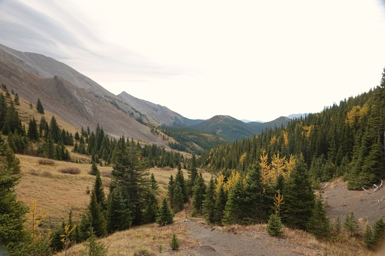
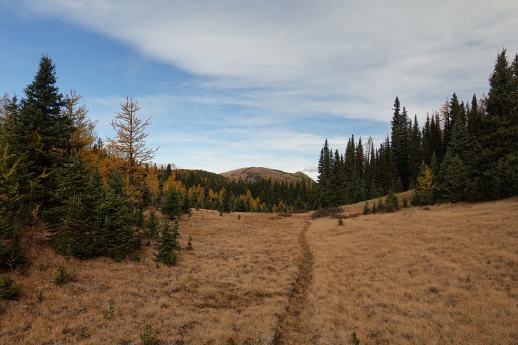
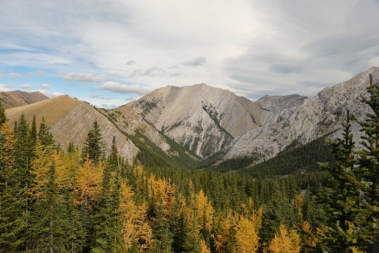
The trail steadily climbs through the forest before emerging in a lovely open valley just past the turn-off to the connector that goes east to Picklejar Lakes. The weather was perfect for late September – warm, windless and bug-less – and I made good progress as I reached the pass after about an hour. Beyond the pass the trail gradually becomes fainter as it descends along Cliff Creek. In places it was hard to follow, but I found some fresh blazes and hacked trees here and there that were probably the work of local hunters.
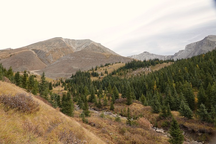
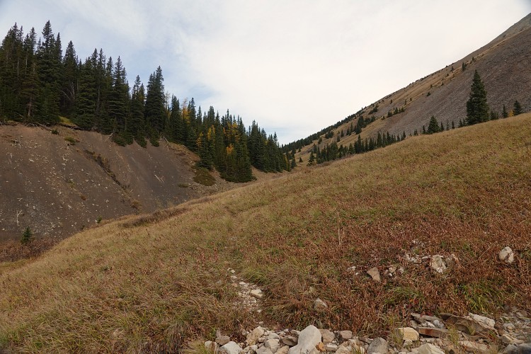
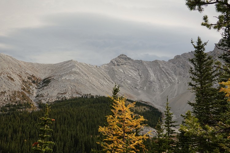
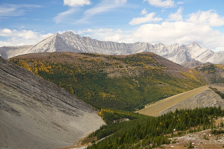
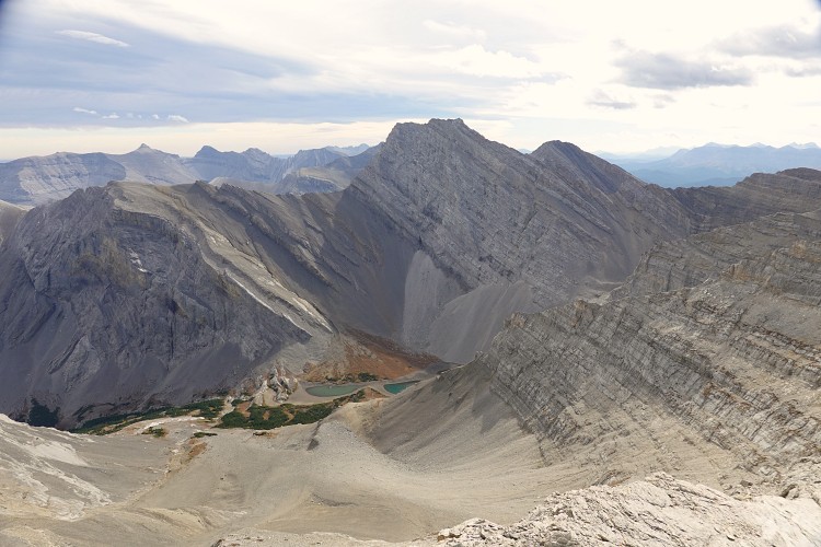
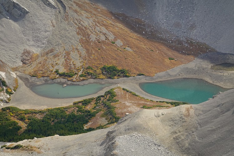
A few km after the pass I left the trail and headed straight through the forest on the right along my planned route, heading slightly uphill towards the valley that drains the SW slopes of North Highwood Peak. The forest is easy here with only minimal bushwhacking, thankfully, before I exited the forest almost exactly at the ideal point – right where the first clearing begins in the valley. This is yet another beautiful untouched valley to be found in Kananaskis – no trails, cairns or fire pits here.
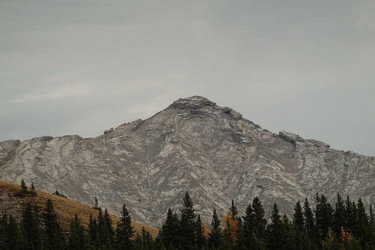
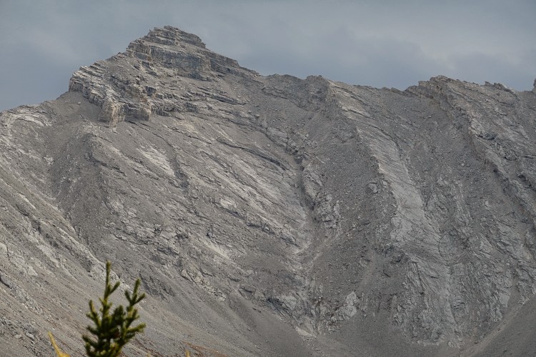
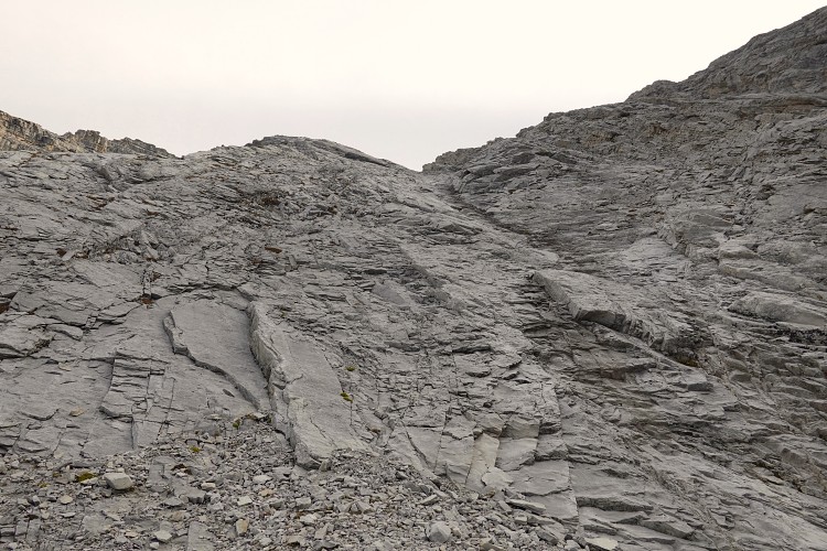
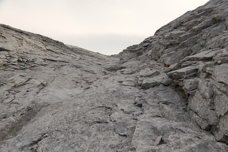
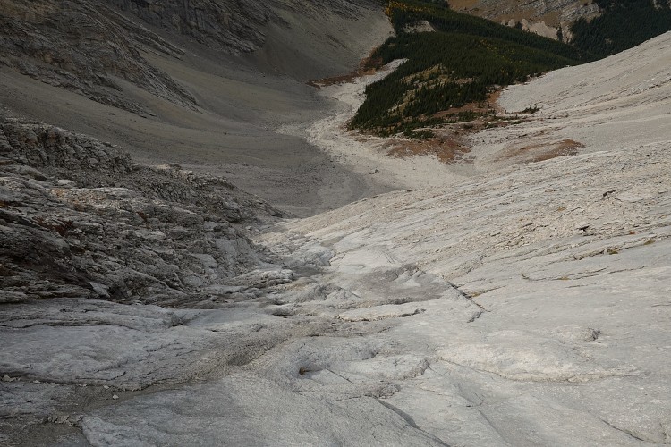
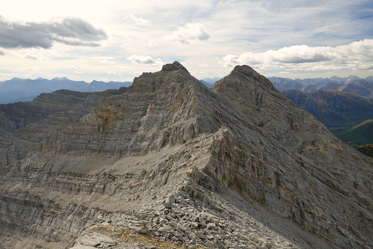
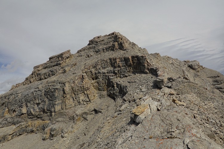
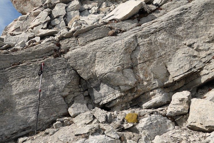
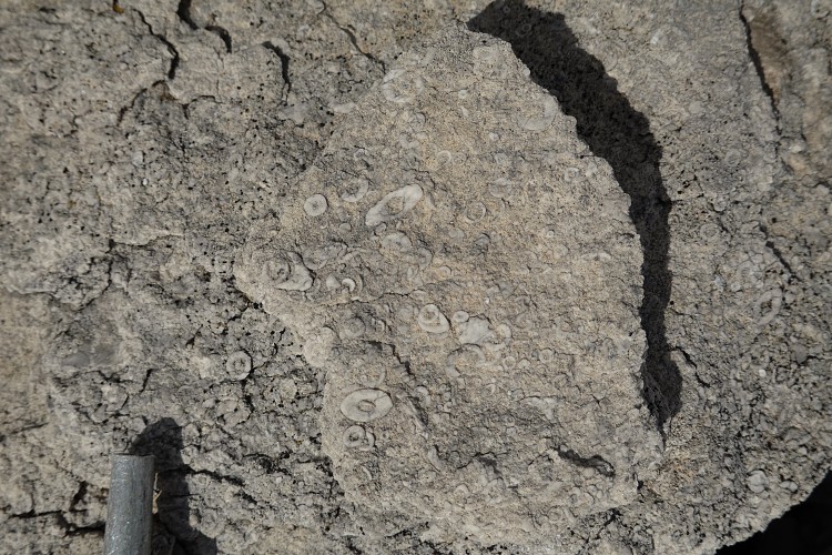
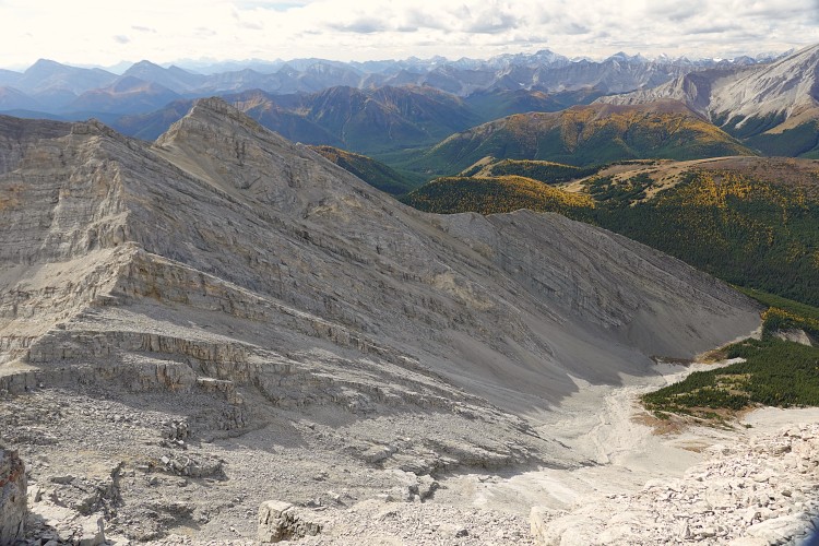
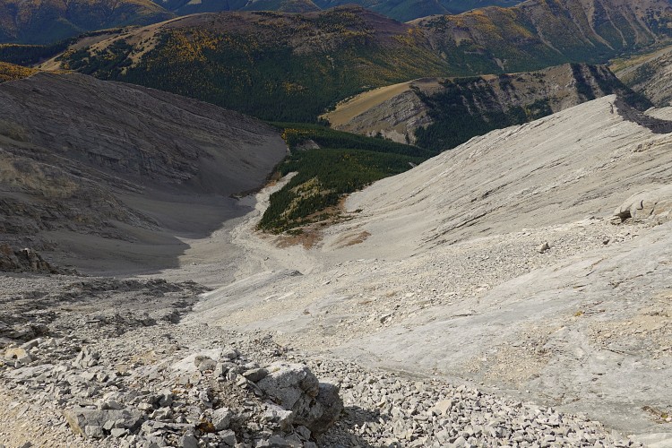
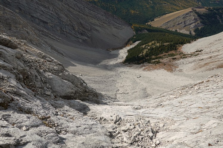
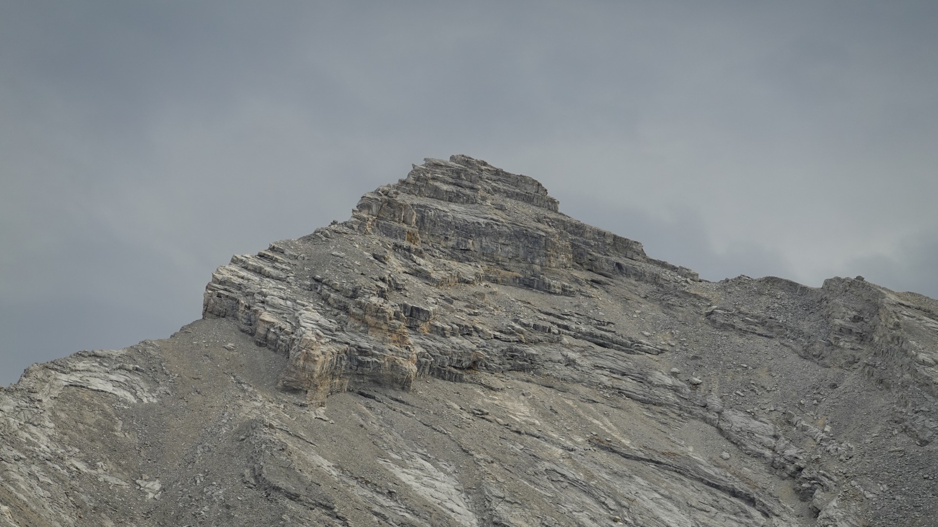
At the head of the valley is a large scree apron that sits below several ascent options: the left side looked more “crumbly” (perhaps where Andrew had come down?), while in the centre there’s a prominent couloir made up mainly of light grey slabs of limestone. I headed up this gully, which offered tons of hands-on scrambling with lots of friction moves and little steps on firm rock. Some slabs are pretty steep, especially at the beginning, but looking around a bit always opened up a viable route somehow and having good boots with proper grip certainly helped. I really enjoyed this route and the sustained scrambling it offered; it keeps going and going and lands you directly on the south ridge from where it was an easy scramble to the top. The last section of ridge before the summit is complicated by cliffs, which are bypassed on rubble on climber’s right. As you pass by the light-beige cliffs on the right there is some “sandy” ground amidst the rubble consisting of broken down crinoids – ancient sea lilies that make up the resistant Pekisko grainstone here.
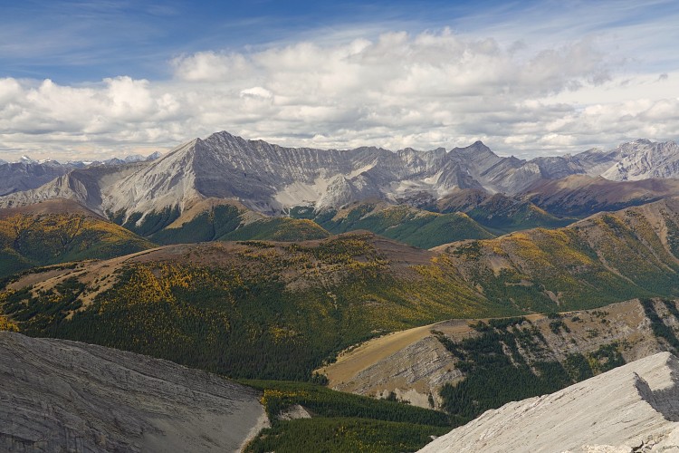
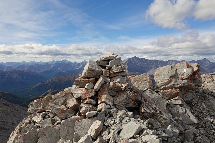
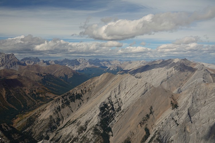
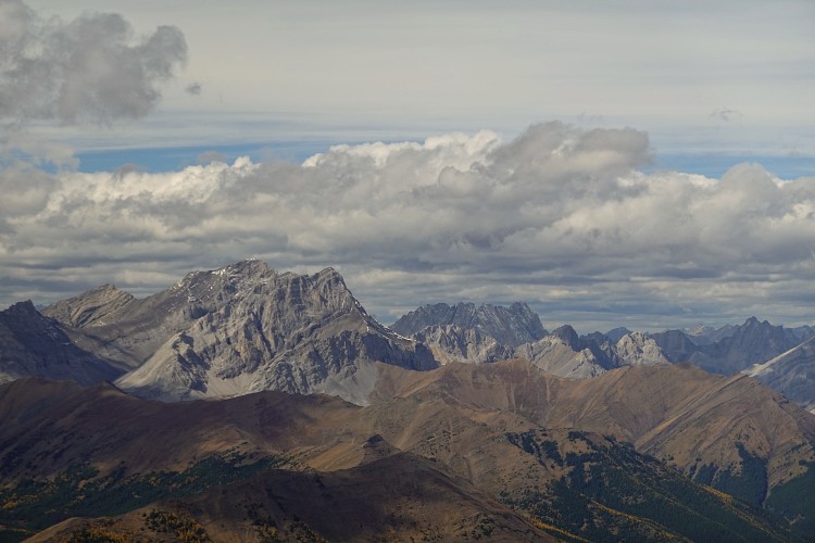
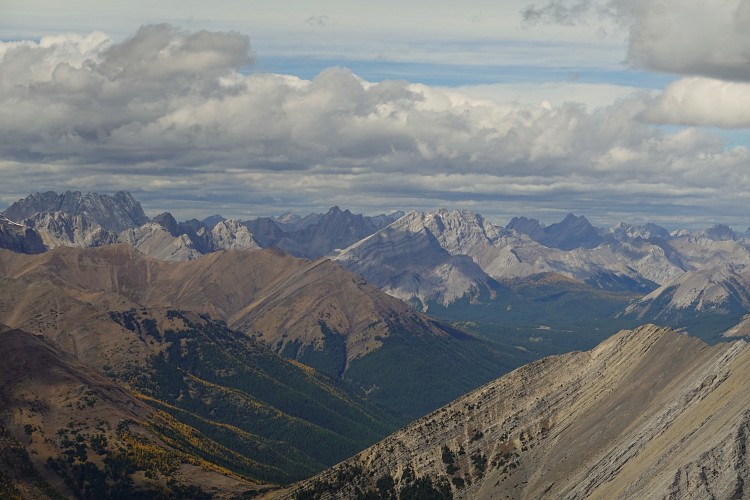
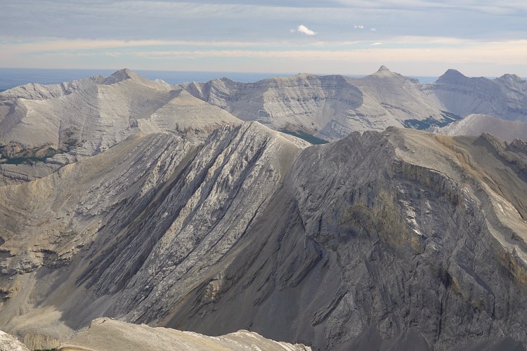
At the summit cairn I found not one but two registers! The old black PVC pipe canister unfortunately only held a soaking wet paper mess, while a newer container with the comical name “ShimWu Peak” had a few entries from previous years, including one from July 2021. The vistas from up here are first-class, especially looking NW towards Gibraltar Mountain, Mist Ridge, Mist Mountain and all the other big summits of the Highwood.
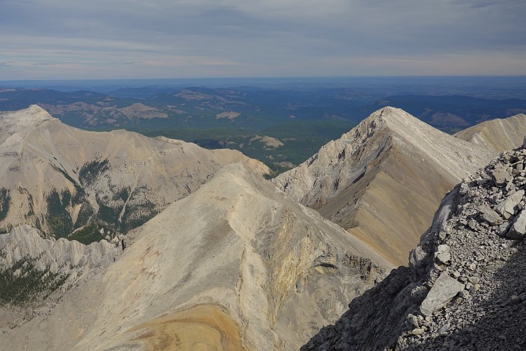
I returned the same way along the south ridge and down the slabby gully, which required some care on descent but wasn’t much harder than on the way up. Once I was back on scree in the valley I decided to check out the neighboring peak to the south. The day was still sunny and warm and I had plenty of energy left so why not!?
|
Elevation: |
2850 m |
|
Elevation gain: |
1950 m |
|
Time: |
9.0 h |
|
Distance: |
18.8 km |
|
Difficulty level: |
Moderate (Kane), T4 (SAC) |
|
Comments: |
Stats refer to combination of North Highwood Peak and Cliff Peak |
|
Reference: |
Own routefinding |
|
Personal rating: |
NOTE: This GPX track is for personal use only. Commercial use/re-use or publication of this track on printed or digital media including but not limited to platforms, apps and websites such as AllTrails, Gaia, and OSM, requires written permission.
DISCLAIMER: Use at your own risk for general guidance only! Do not follow this GPX track blindly but use your own judgement in assessing terrain and choosing the safest route. Please read the full disclaimer here.