Crowsnest, AB, Canada
30 May 2020
With Marcelina
Delightful early season scrambling
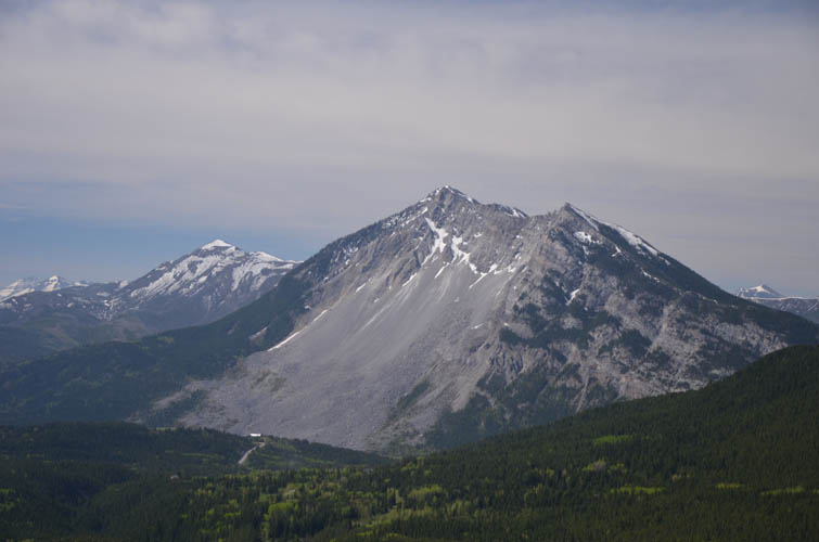
Morin Peak is the local name for a sub-peak that juts out on the western side of the Livingstone Range near the village of Frank. It can be climbed from pretty much any side, for example via the SW ridge (see Dave’s report) or as part of a traverse from South Peak (see Vern’s trip).
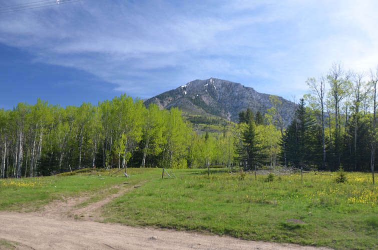
When Trevor and I hiked up neighboring Bluff Mountain five days earlier I noticed that Morin Peak was virtually snow-free. A great reason to return to the Crowsnest area and ascend this little peak together with Marcelina, who was looking forward to trying out something a bit more challenging than just a hike. It turned out to be an absolutely fabulous day with an enjoyable approach, fun moderate scrambling, and great company.
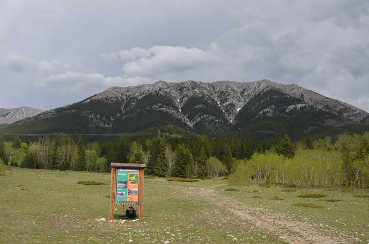
We parked in an open area under a powerline right across from an open gate where a track seemed to be heading in the direction of our objective (we didn’t see any “Private” or “No trespassing” signs here). The access road was driveable with our slightly higher clearance car – with a regular sedan you might have to leave your car just before the cattle gate as the road gets quite muddy in places.
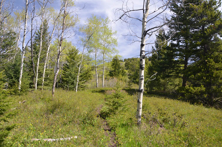
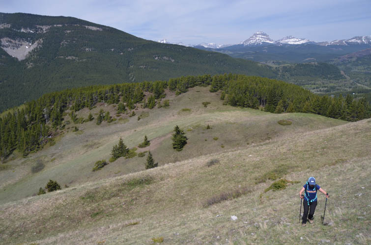
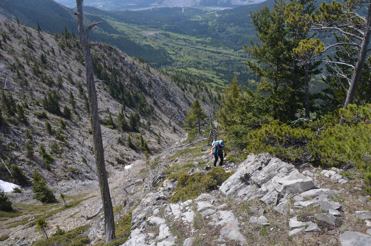
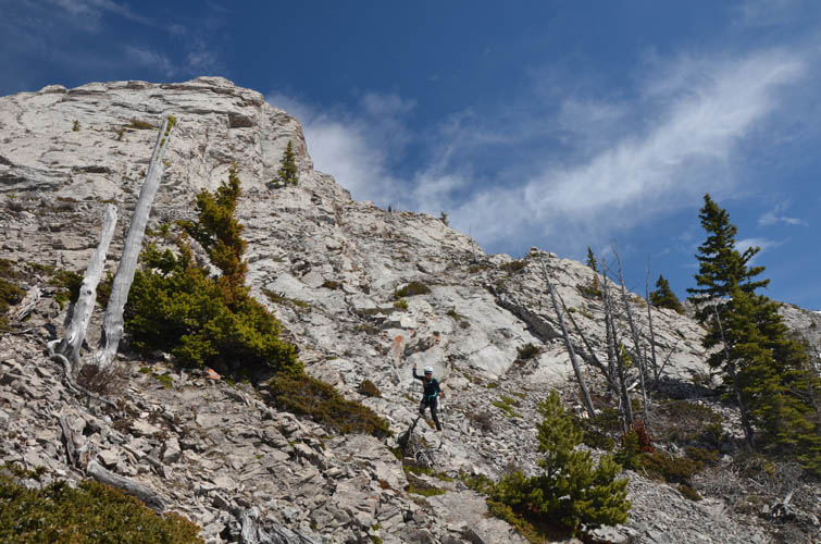
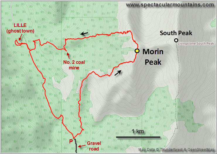
For the approach we followed the initial track a short distance, then joined a rough forest trail just past a private house. There were a series of meandering trails that eventually fizzled out and some light bushwhacking brought us to the start of the west ridge. Hiking up this ridge was quite pleasant: a faint trail goes up the spine of it in the lower parts where open meadows and stands of pine and birch trees make for easy travel. Higher up we bypassed a small rock rib and forest on the right, then went back on the ridge crest. Some fun easy to moderate scrambling near the top led to a small cairn where we joined the south ridge.
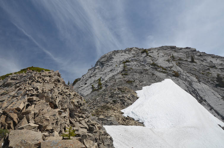
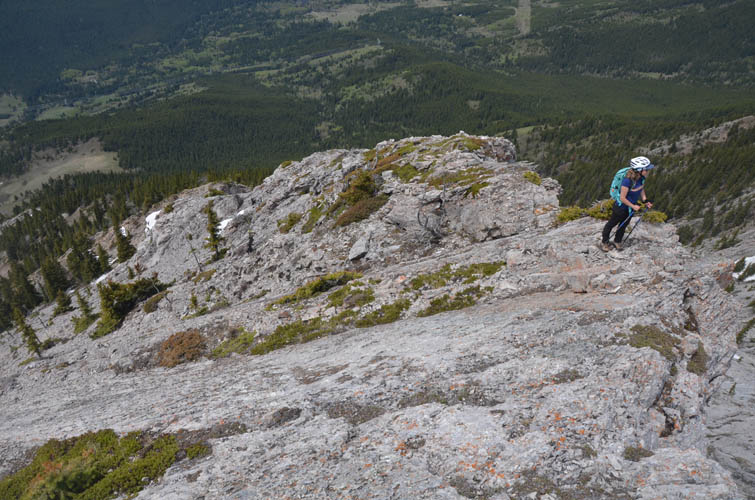
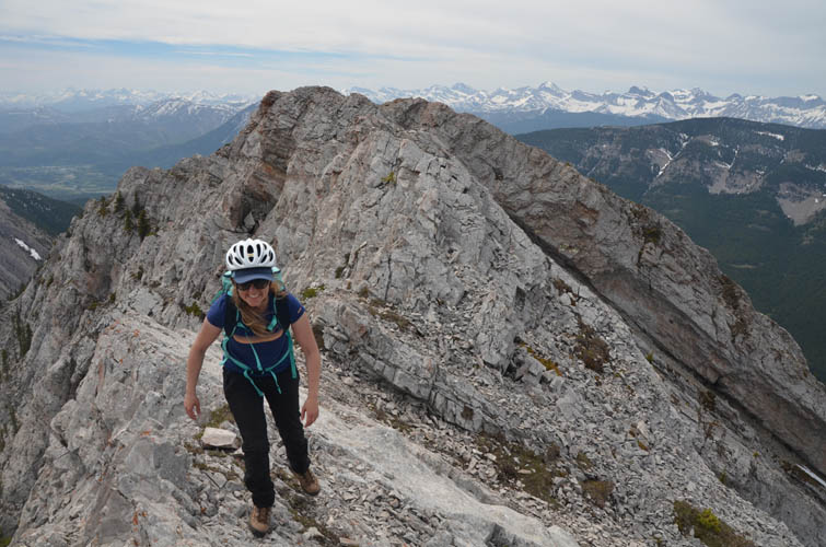
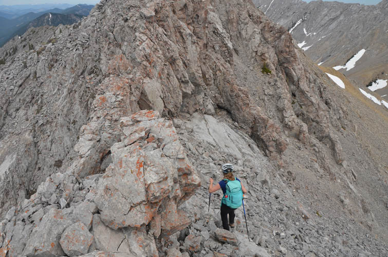
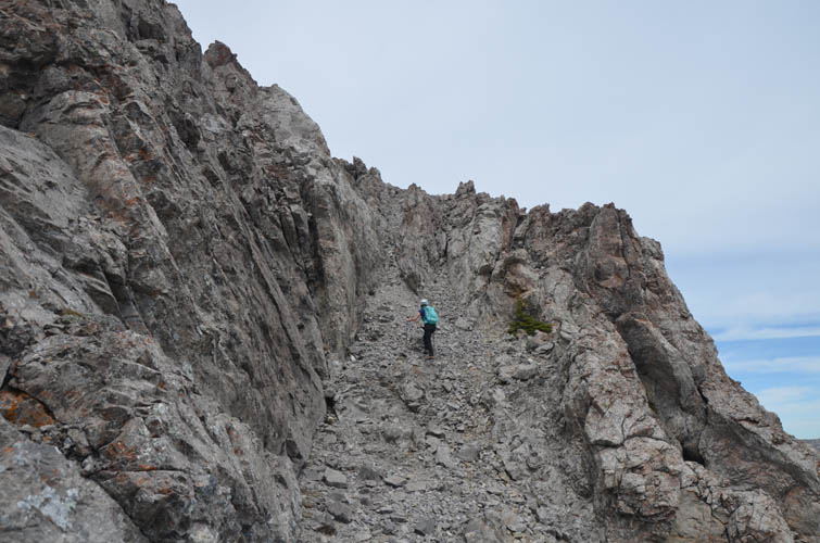
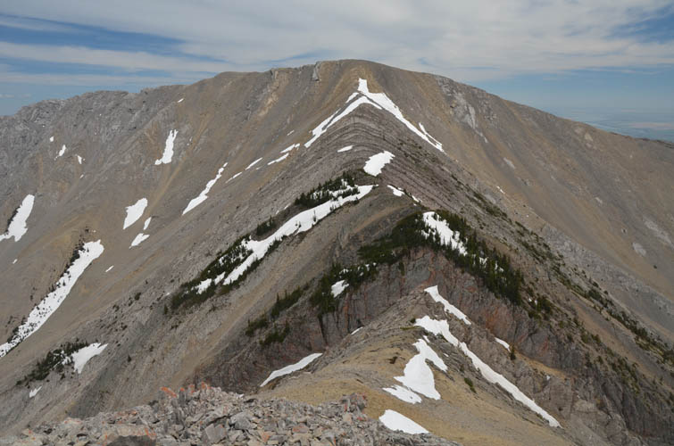
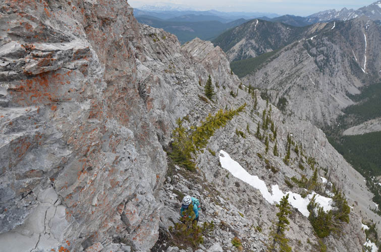
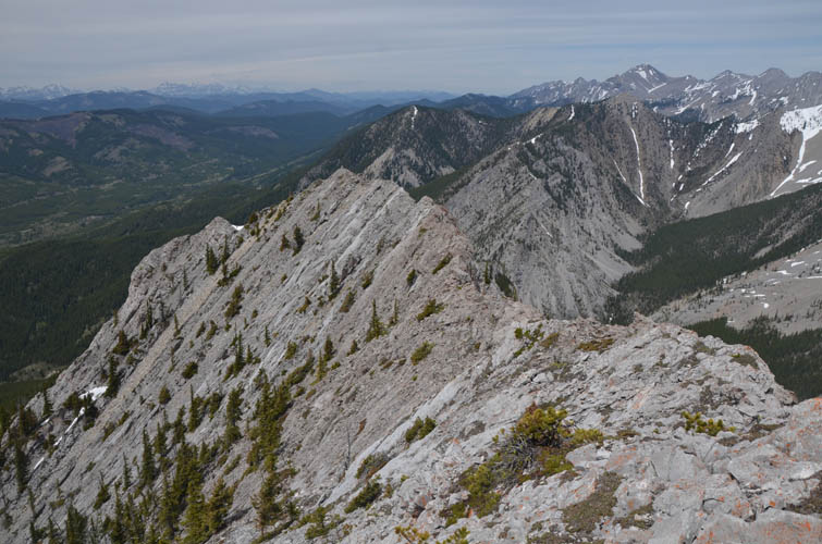
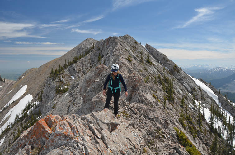
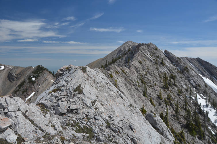
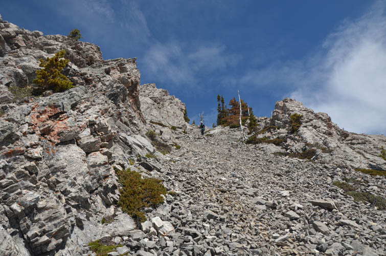
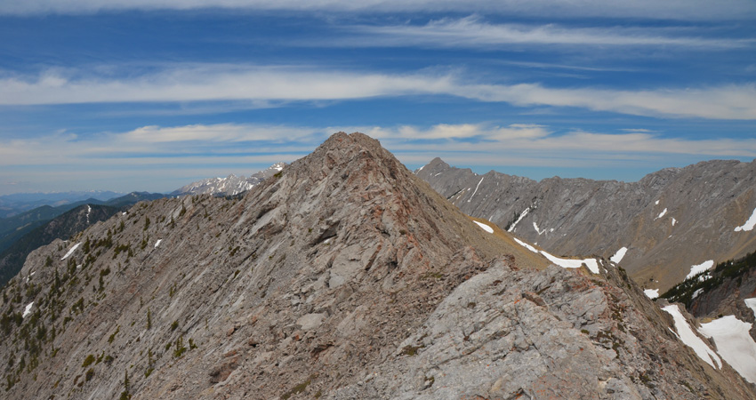
It’s only a few hundred metres from here to the summit and this was by far the most enjoyable part. The ridge is narrow and quite exposed in places, but offers lots of great hands-on scrambling. I’d probably rate it as an upper moderate in terms of difficulty (Kane classification), and for a beginner scrambler this ridge might certainly be daunting. Also, there is some loose rubble and the rock can be crumbly, so care is required. Just before the true summit the ridge becomes impossibly narrow, but is easily avoided by going around the right (east) and then up a rubbly chute to the summit.
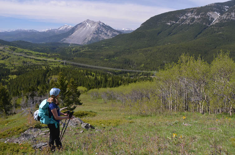
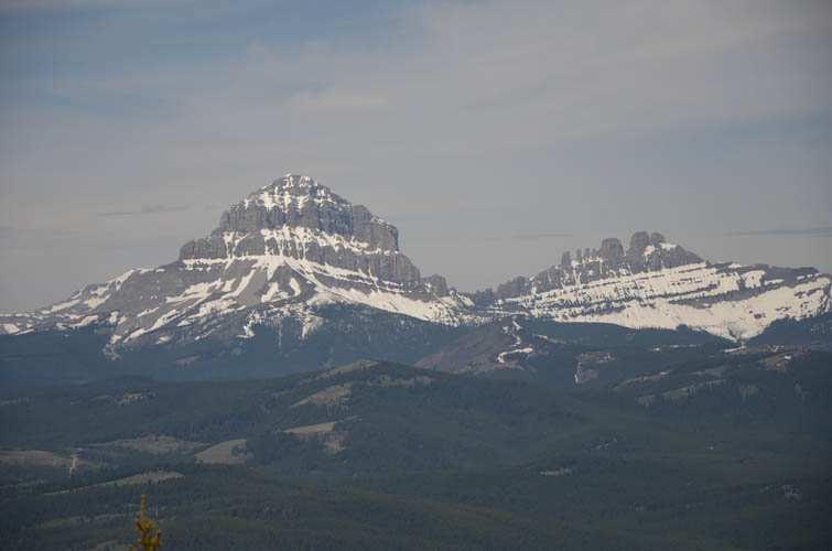
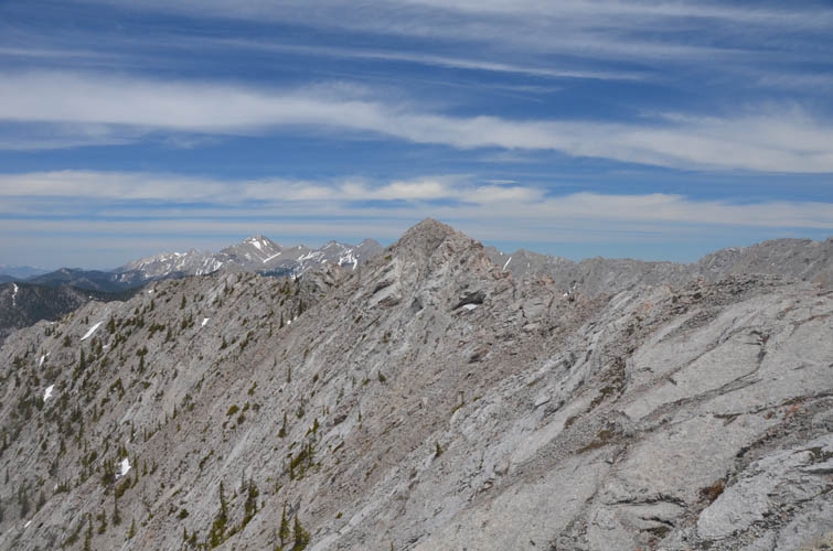
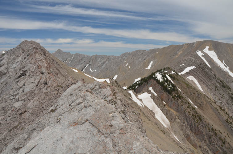
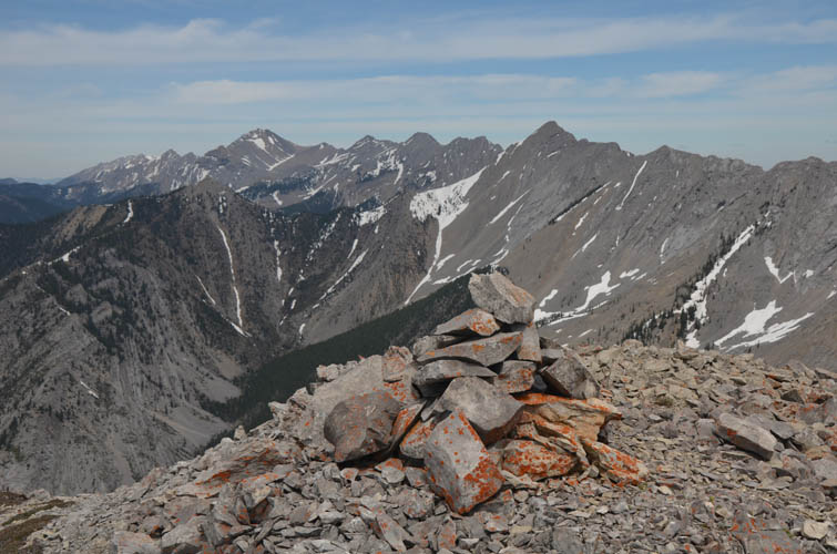
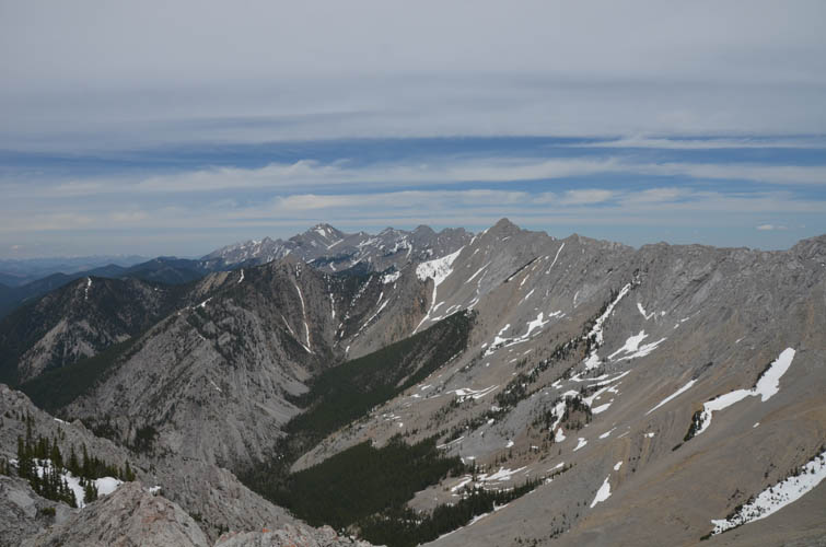
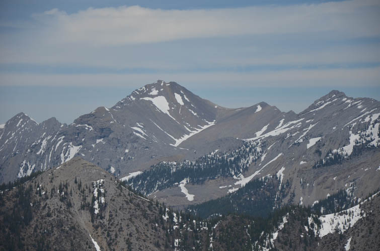
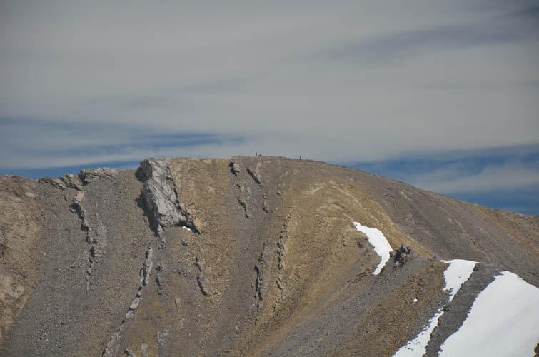
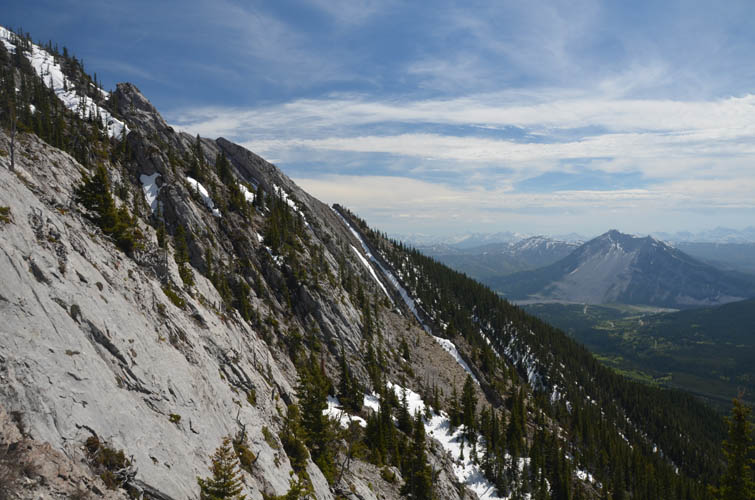
According to the register placed in 2017 and documenting only three entries since then, Morin Peak isn’t very popular – something that’s probably going to change pretty soon judging by how quickly internet reports are spreading these days. The mountain offers a perfect vantage point for the southern part of the Livingstone Range, from the brown shale slopes of South Peak right across to several unnamed high points plus Caudron Peak and Centre Peak further north.
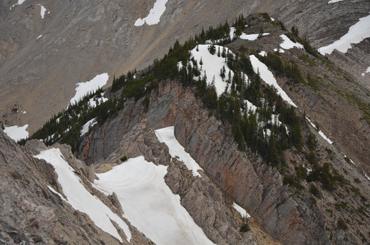
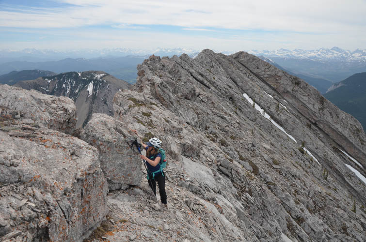
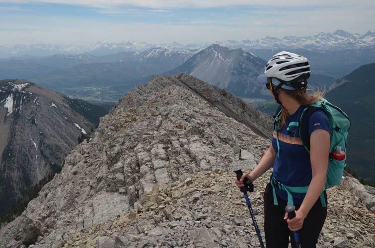
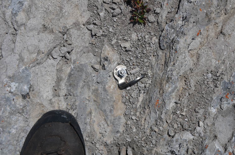
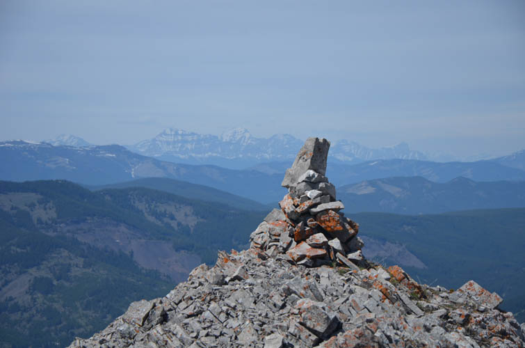
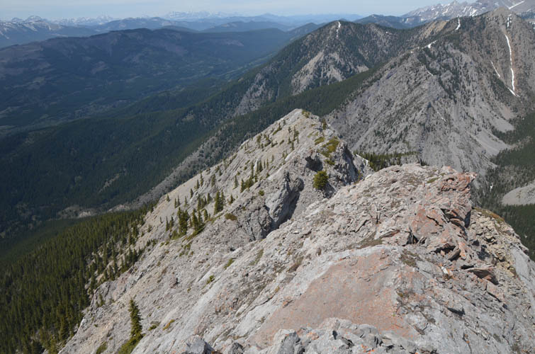
The ridge extending north from the summit looked intriguing so we decided to give it a go. Initially, some cliffs required bypassing the crest via a faint goat trail on a ramp on the right (east) side. Once we had clambered up the ridge top again, the rest was very enjoyable moderate scrambling right on the crest. A piton (probably from a winter ascent) and a stately cairn along the ridge bear witness that people do make it up here after all.
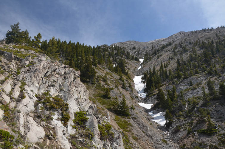
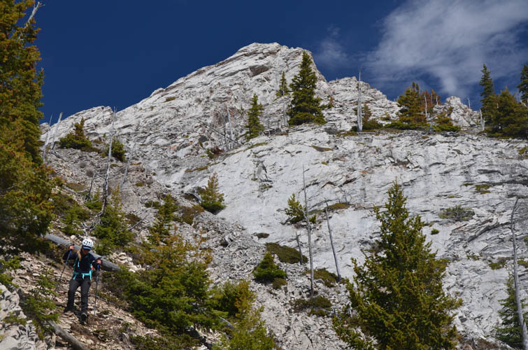
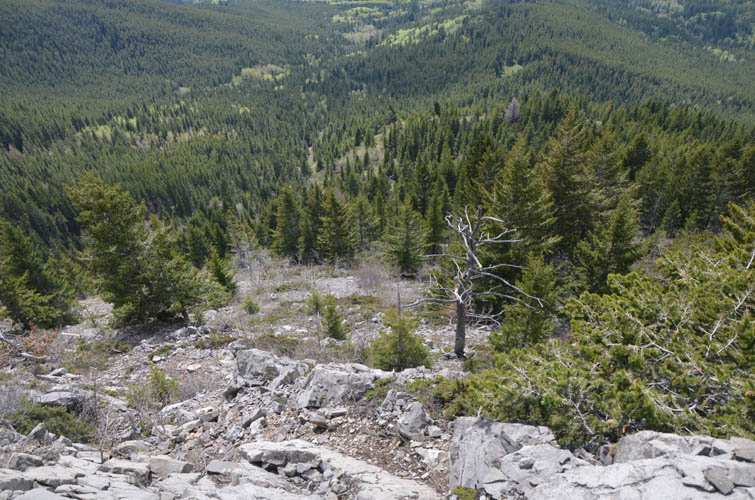
At the intersection with a ridge to the west (cairn) we stopped and discussed how to proceed. Continue along the north ridge and then descend into unknown forest, possibly with tons of bushwhacking, or head down the ridge directly to the west? We decided for the latter, which perhaps turned out to be not the best option, but I don’t know. First, we had to circumvent a set of steep, bright grey limestone slabs via gullies and ledges on skier’s left. The remainder of the descent was mostly in unpleasant terrain of steep rocky slopes interspersed with bushy or treed areas.
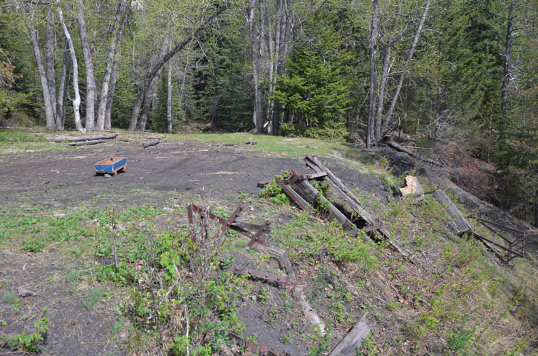
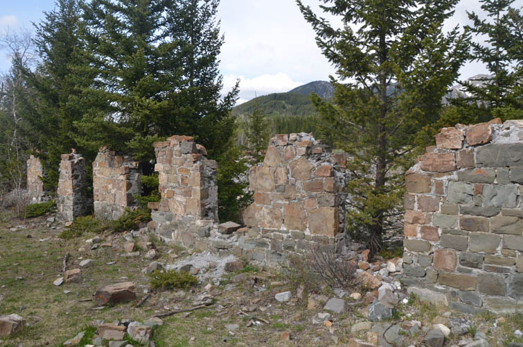
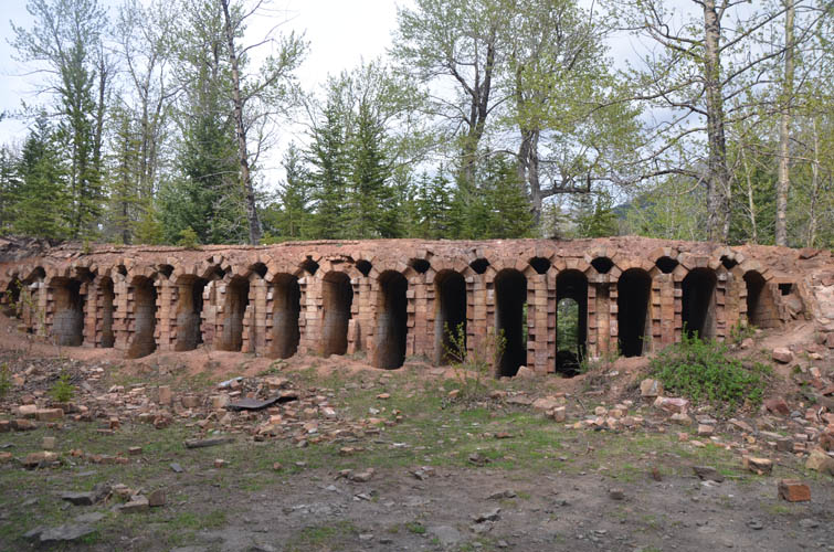
Eventually we hit an ATV track that took us to the site of the former No. 2 coal mine, which forms part of the historical site of Lille, a small town of some 300 people that existed for a mere 10 years and was abandoned in 1913. The track continues down into the valley to the old town site where we explored the remains of the Lille hotel, the coke oven, and a huge pile of coal that’s still sitting there.
Visiting Lille ghost town was a great way to end this trip, one I can highly recommend. Our pace was fairly leisurely so our round-trip time of 8 hours is probably on the upper end.
|
Elevation: |
2241 m (my GPS) |
|
Elevation gain: |
960 m |
|
Time: |
8.0 h |
|
Distance: |
11.4 km |
|
Difficulty level: |
Moderate (Kane), T4 (SAC) |
|
Comments: |
Stats for loop route. |
|
Reference: |
Dave McMurray & own routefinding |
|
Personal rating: |
4 (out of 5) |
NOTE: This GPX track is for personal use only. Commercial use/re-use or publication of this track on printed or digital media including but not limited to platforms, apps and websites such as AllTrails, Gaia, and OSM, requires written permission.
DISCLAIMER: Use at your own risk for general guidance only! Do not follow this GPX track blindly but use your own judgement in assessing terrain and choosing the safest route. Please read the full disclaimer here.
