Durmitor, Montenegro
22 August 2018
With Andy
A fine ridge scramble in the middle of Durmitor National Park
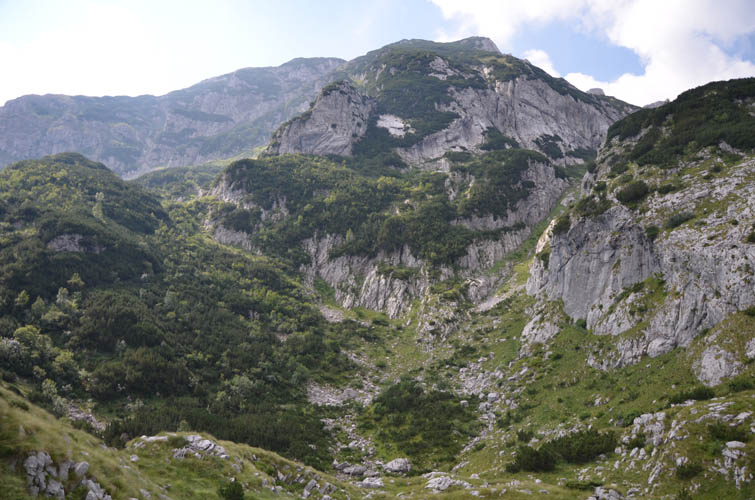
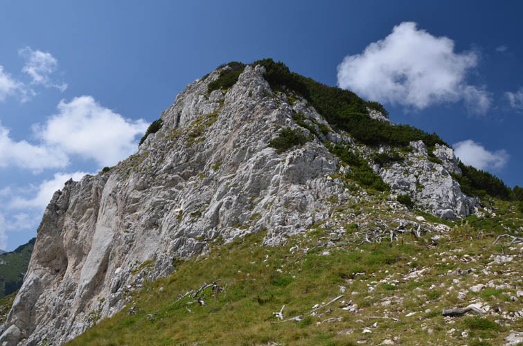
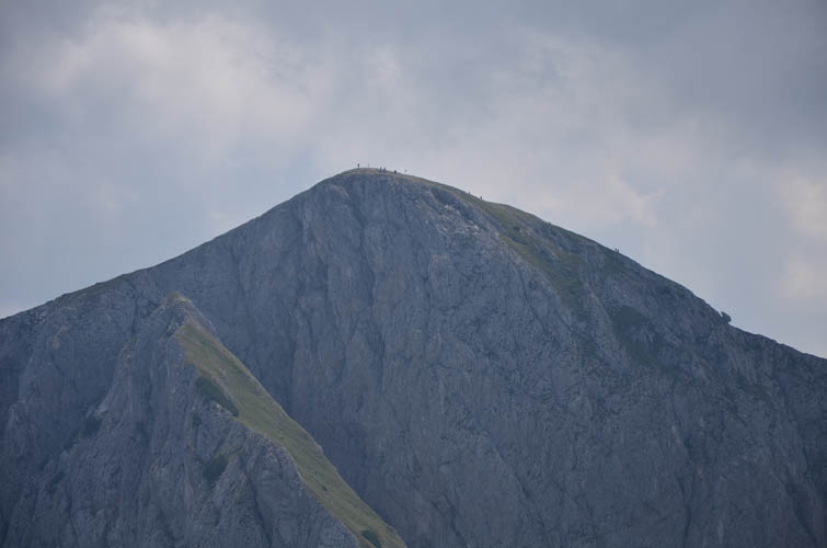
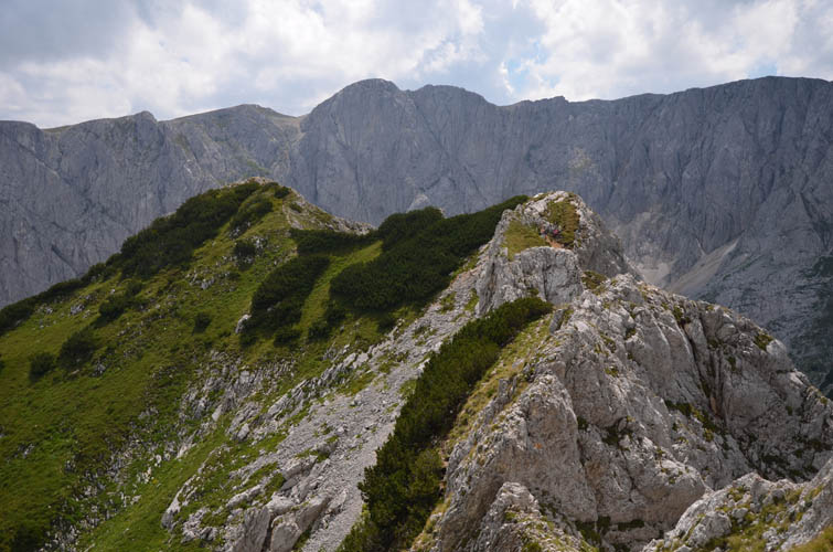
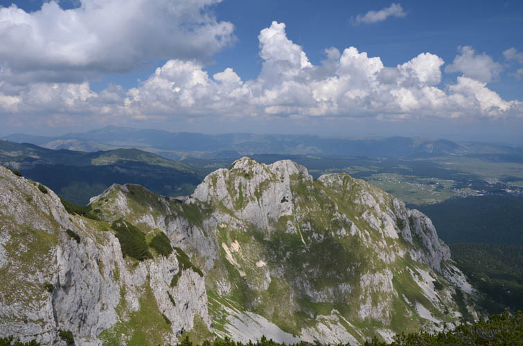
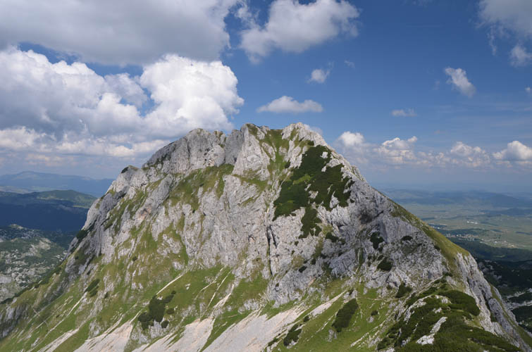
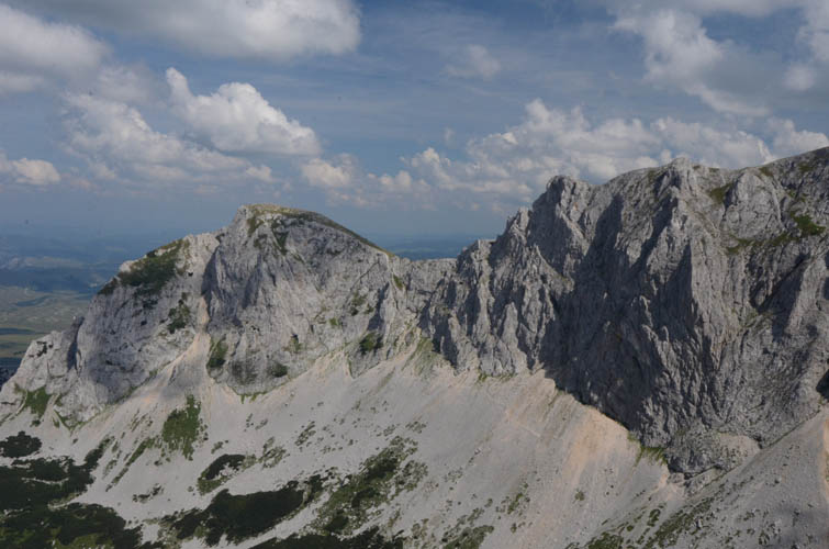
After hiking up Savin Kuk the previous day with Wen, Andy and I chose the “Bear Traverse” as our next hike in Montenegro’s Durmitor National Park. Mali Medjed (Little Bear) and Veliki Medjed (Big Bear) are two peaks located along a prominent ridge that looks quite sharp and interesting when viewed from Savin Kuk. There is a trail that runs up the ridge from the town of Zabljak, traverses it, and continues to a third peak called Terzin Bogaz to the south. Another trail in the valley to the west easily leads back down into town.
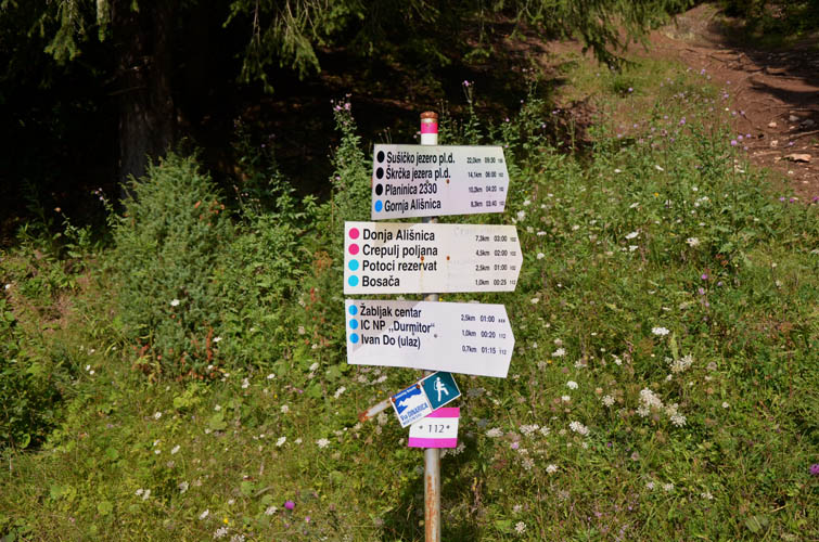
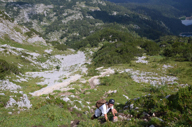
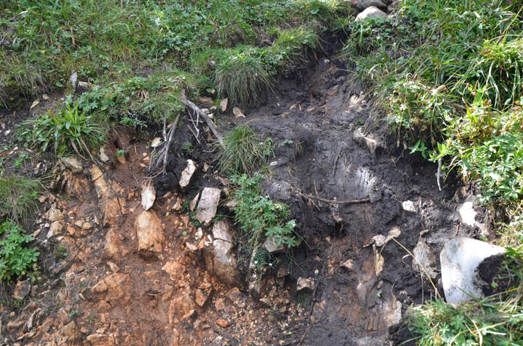
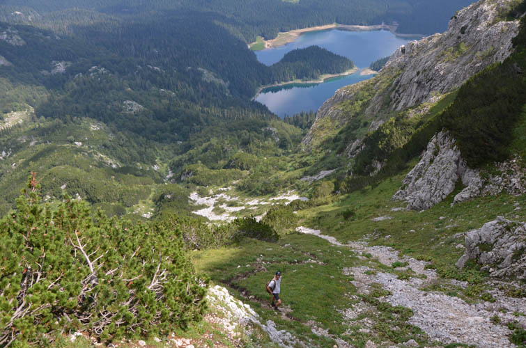
As we found out, this whole loop makes for a highly enjoyable but strenuous trip. The first part is easy enough: hike on an excellent trail through forest to the turn-off, where the path quickly narrows and leads through sprawling vegetation to the foot of Mali Medjed’s northwest face. Here, the slog begins! The path quickly becomes very steep, and I mean STEEP! It’s also quite muddy and slippery in places, and we were certainly glad we had our big mountain boots with us. Anything but solid, high-ankle hiking boots with good tread would be out of place here. We later met a group of French hikers with huge backpacks and wearing only light shoes and trainers; their descent down this muddy path had turned into a big nightmare.
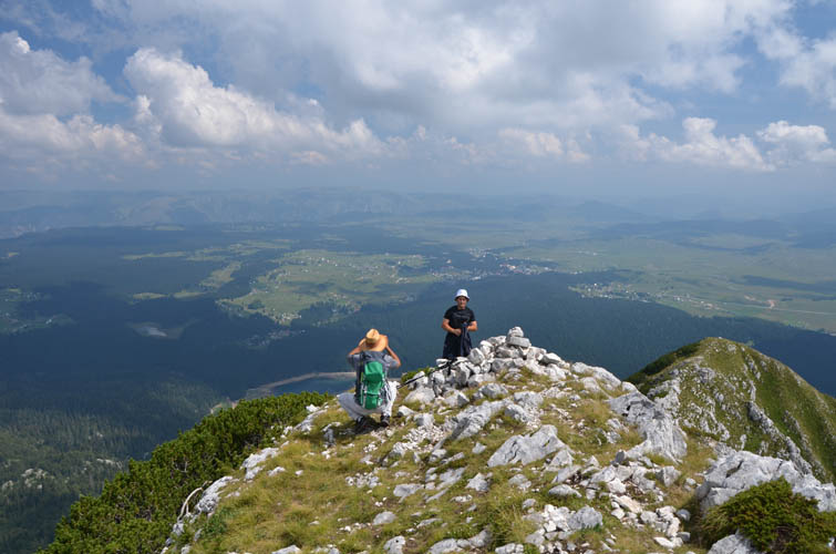
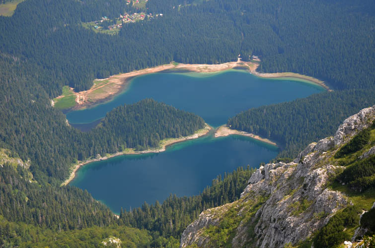
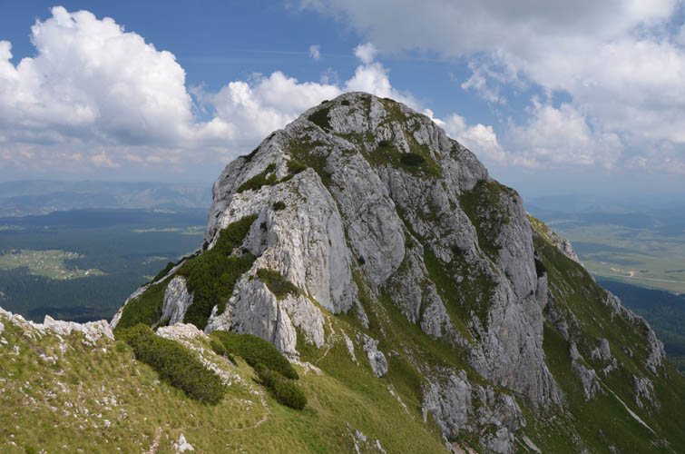
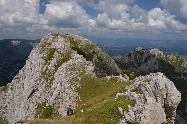
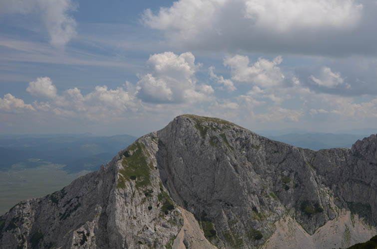
While the ascent to gain the ridge was a pure grunt, the views from the first peak – Little Bear – and a slightly higher point a short distance away definitely made up for all the hard work. You could admire Zabljak to the north and the famous Black Lake below, and to the south the entire length of the ridge can be seen.
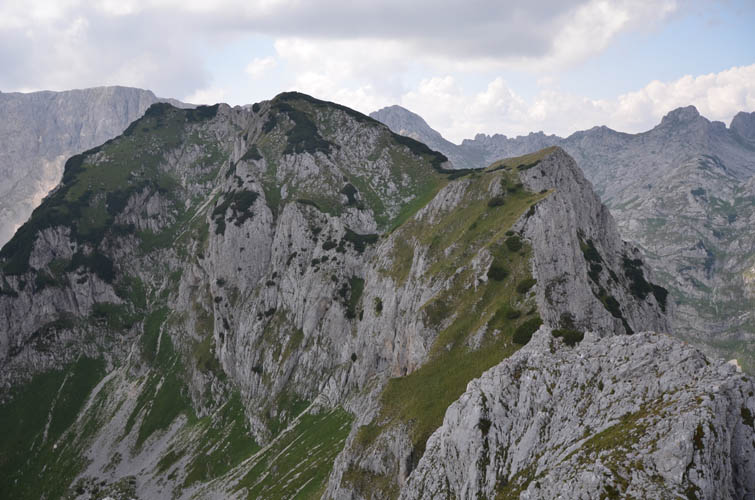
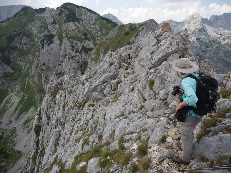
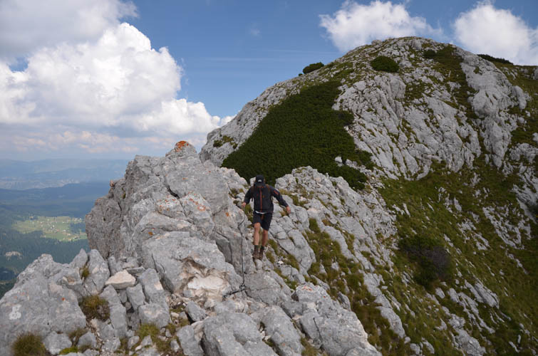
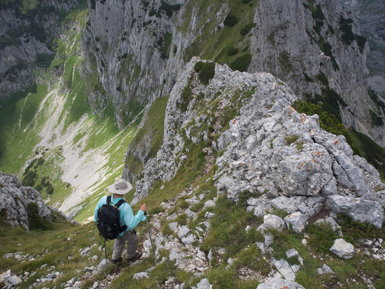
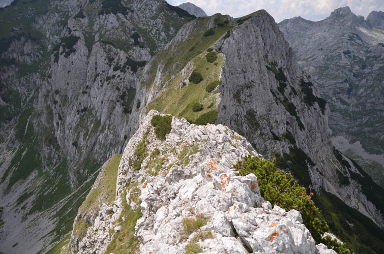
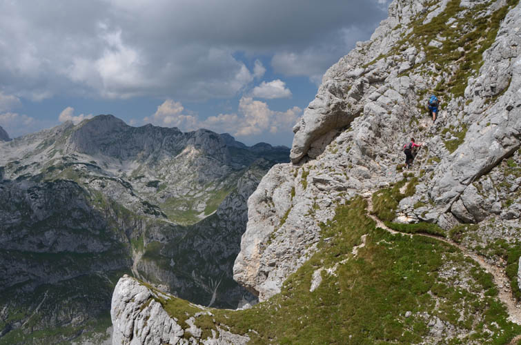
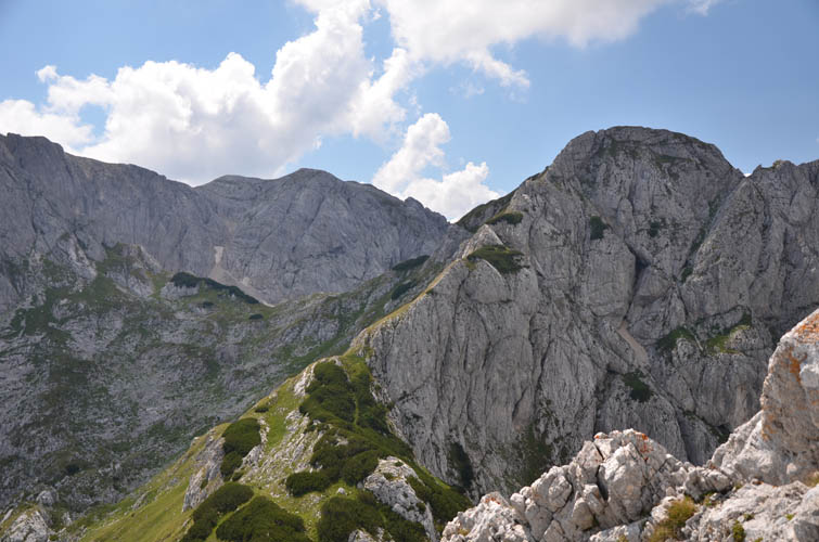
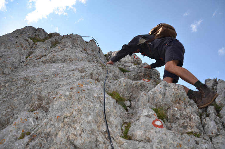
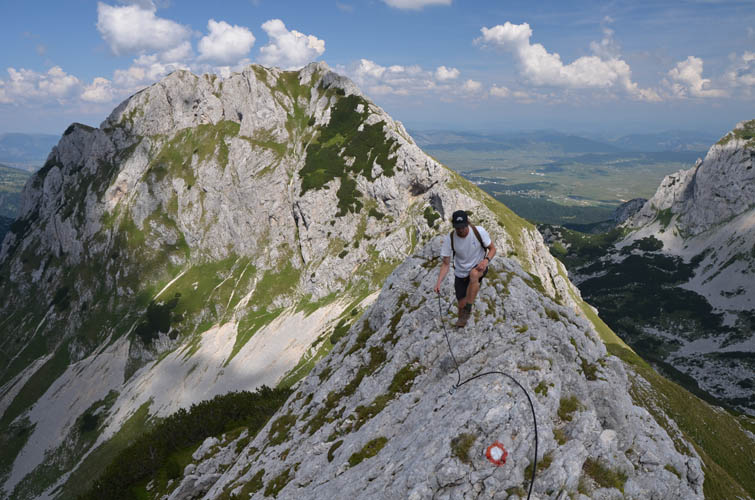
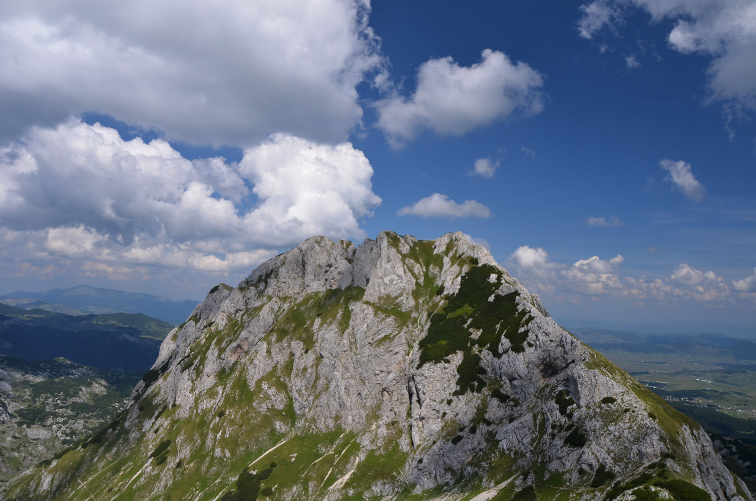
The ridge traverse was the best part of the day. The views are spectacular throughout and it’s a great mix of pleasant hiking and fun, hands-on scrambling. The ridge narrows to a sharp spine with significant exposure in several places where a slip would be deadly, but the route is marked all the way and the most dicey sections have fixed cables. If you’re fairly sure-footed and used to exposure then this is easy, enjoyable scrambling, but we did see quite a few inexperienced hikers who found the traverse very challenging – including the aforementioned French group who appeared to be ill-equipped for scrambling in alpine terrain. In addition, for some people it probably is more of a mental than a technical challenge because of the sheer drop-off in some sections.
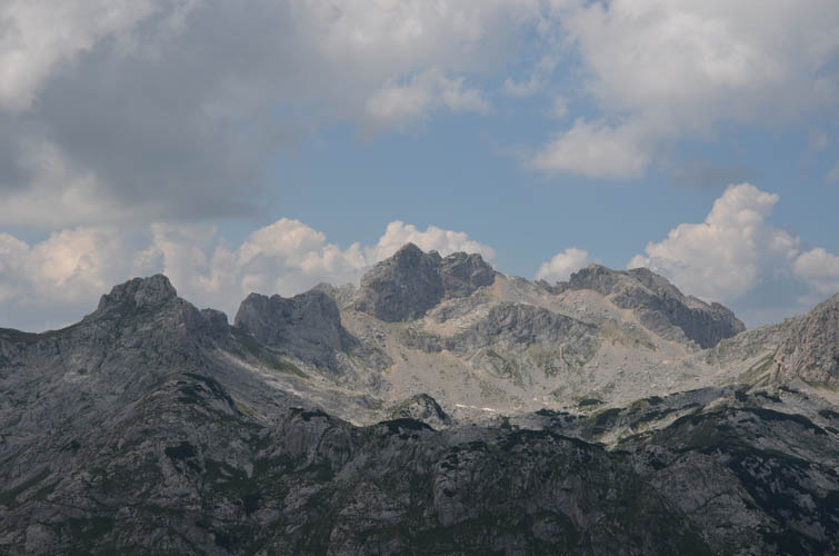
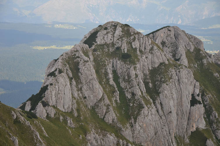
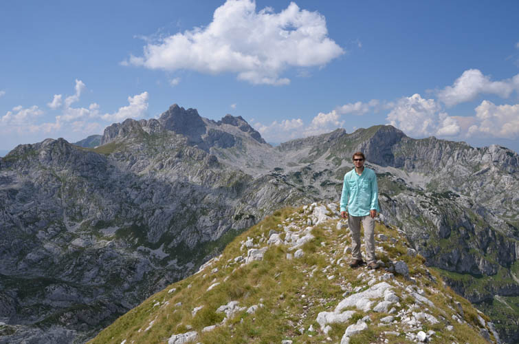
Veliki Medjed, or Big Bear, offers yet another beautiful panorama from a slightly different vantage point. A fairly good trail descends north towards the saddle between Big Bear and Terzin Bogaz. With some energy reserves left, we pushed ourselves and continued on to the summit of Terzin Bogaz to make it a three-peak day. To reach the summit involved a mix of hiking and moderate scrambling, again aided by cables fixed to the rock. After some 25 minutes from the saddle we were standing on the summit of Terzin Bogaz, which we both agreed granted the best views yet! It was like standing in the centre of a natural stage overlooking this dramatic mountainscape, the main actors being impressive peaks like Bobotov Kuk, Sljemena, Savin Kuk and the two Bears. A truly picturesque place!
After carefully climbing down the crux of Terzin Bogaz, a 5 or 6 metre near-vertical rock wall with excellent holds and a fixed cable, we had no further challenges getting back down to our car. From the saddle, a decent trail took us straight down into the valley west of the Bear ridge, eventually linking up with our ascent route. This is where we met the French hikers again: they looked completely exhausted after what must’ve been a horrible ordeal for them!
Mali Medjed, Veliki Medjed and Terzin Borgaz made for an exciting day out and to me remains one of the most memorable trips in Montenegro. I’m so glad Andy joined me on this hike, because admiring those beautiful views together is always so much more enjoyable. Thanks Andy, for the awesome company!
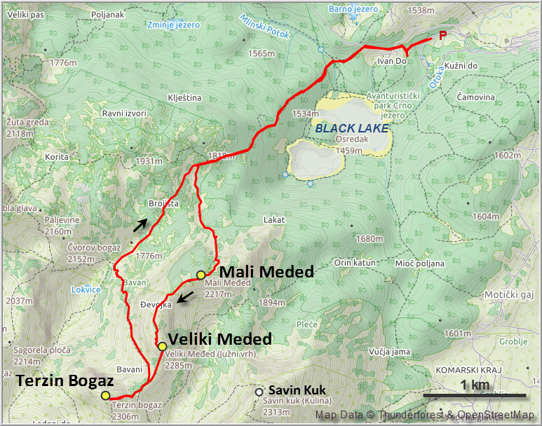
| Elevation: | Mali Medjed: 2217 m (official), 2228 m (my GPS) |
| Veliki Medjed: 2285 m (official), 2287 m (my GPS) | |
| Terzin Bogaz: 2306 m (official), 2302 m (my GPS) | |
| Elevation gain: | 1370 m |
| Time: | 8 h |
| Distance: | 13.1 km |
| Difficulty level: | Moderate (Kane), T4 (SAC) |
| Reference: | Local maps |
| Personal rating: | 4 (out of 5) |
DISCLAIMER: Use at your own risk for general guidance only! Do not follow this GPX track blindly but use your own judgement in assessing terrain and choosing the safest route.
