Bisha, Saudi Arabia
7 April 2019
With Abdulrahem
Scrambling up a giant pile of quartz
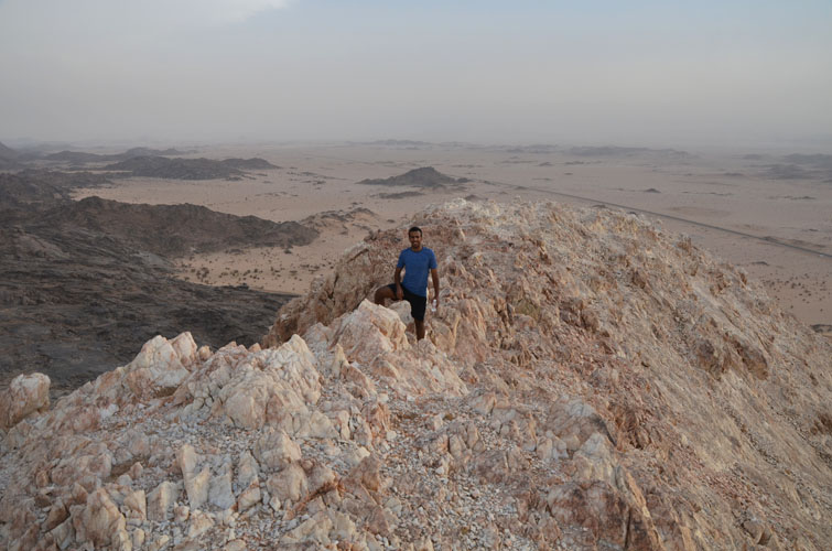
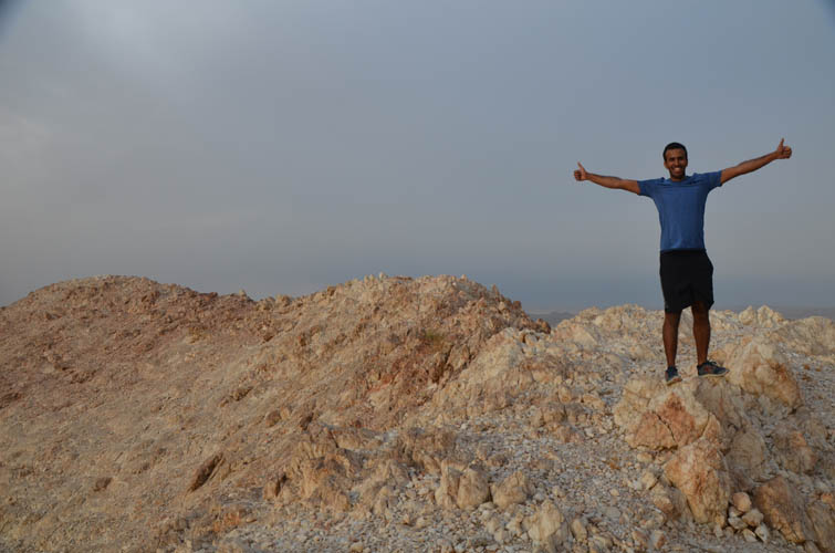
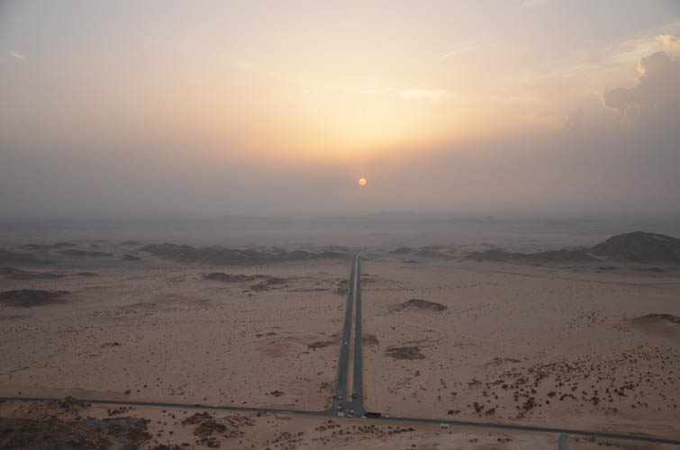
Last stop on my two-week drive around the kingdom of Saudi Arabia. Bisha, a city of some 200,000 people, sits about half-way between Najran in the far south and Jeddah on the Red Sea. It was my last stopover en route to Riyadh, the capital, where I was flying out from. Lucky for me I found Abdulrahem, a wonderful Couchsurfing host who let me to stay with him in his beautiful house. He also showed me around the city, introduced me to some of his lovely friends, and took me out for a tasty shawarma. And, of course, we went for a scramble together – yes, a proper scramble! Abdulrahem is super fit and active, so when he suggested we climb White Mountain together, the local “house mountain”, I was thrilled and jumped on the opportunity. I had just spent more than five hours sitting in my little rental car driving from Muhayil to Bisha, so a short afternoon hike to stretch my legs was more than welcome.
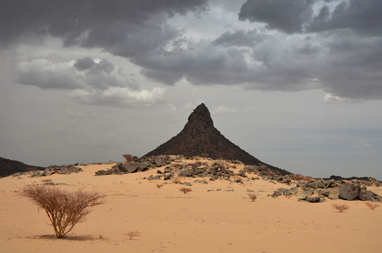
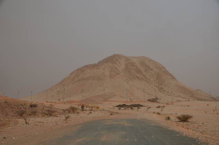
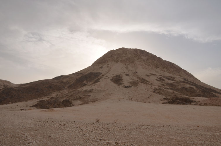
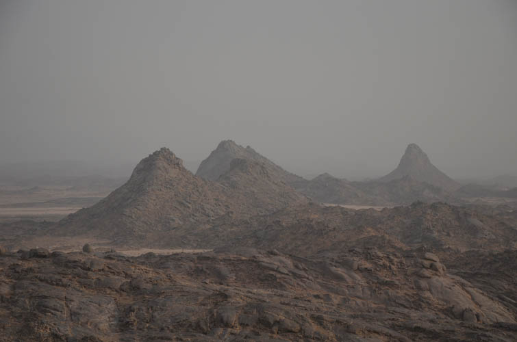
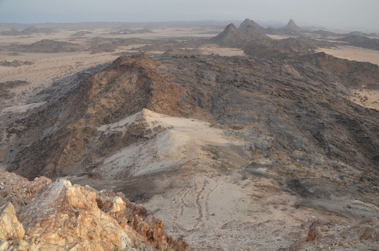
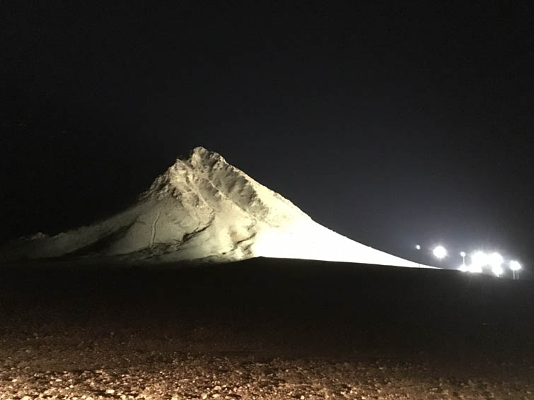
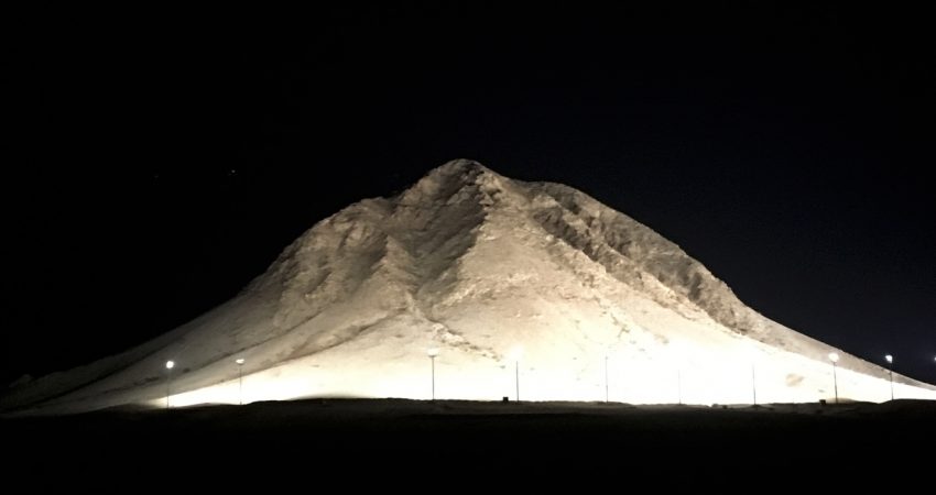
White Mountain, also known as Al-Sayra Al-Bayda in Arabic (variant spelling: Assaira Albaida), is basically a giant pile of bright white quartz. It sits in a zone of volcanic granite domes and towers and probably represents part of a sill or dyke that was mineralized with quartz at a later stage. White Mountain certainly stands out among all the black terrain surrounding it, and it’s a striking sight at night when the west face is lit up by flood lights that have been installed by the authorities.
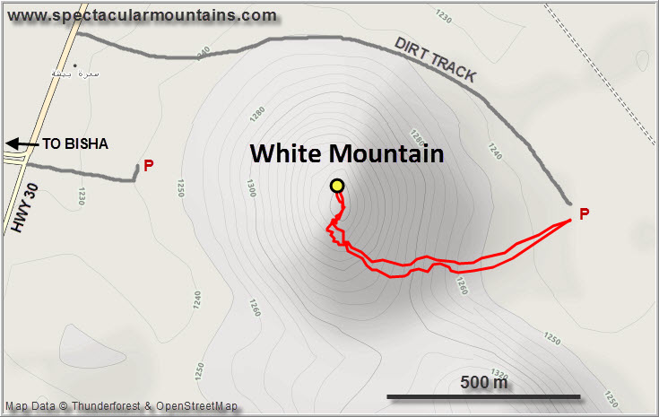
Located only a few hundred metres from a main road about 8 km east of Bisha, I was surprised to find out that there’s actually no trail going to the top. I would’ve expected more people to be like Abdulrahem and come here for a short hike once in a while or use the little peak to get some exercise. Although you could scramble up the main (west) side, it is rather steep and rubbly, so we drove across the sand to the backside where it’s easier to hike up. My little rental car promptly got stuck in a patch of soft sand and had to be pulled out, but that was probably more due to my poor driving skills than the car’s fault! Abdulrahem had absolutely no issues in his Toyota Corolla and just cruised across the desert.
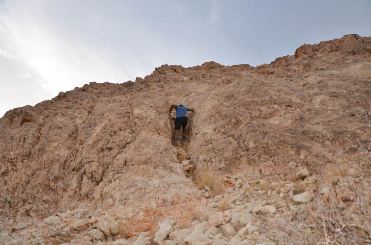
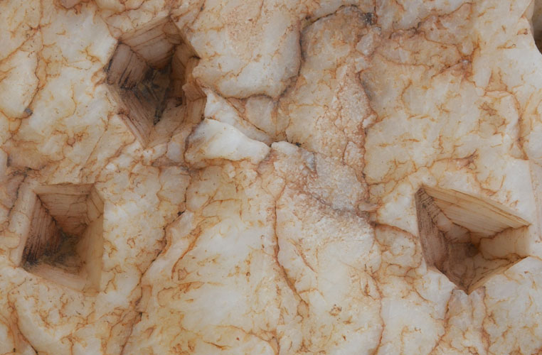
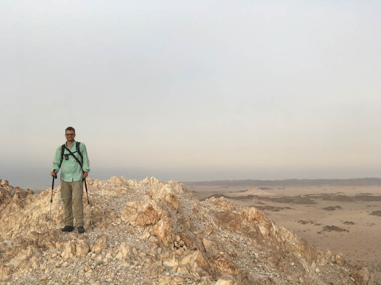
White Mountain is by any means a very short outing: despite being one of the highest peaks in the area, it’s only about 200 m of elevation gain to get to the top. We first hiked across chossy terrain to a broad saddle, then turned right for a short but fun scramble on moderately steep rock. The slope was pretty rubbly – quartz isn’t the most coherent type of rock – and we had to be careful not to knock off debris onto each other. In one spot we found some really neat “negative crystals”, small cavities showing the shape of a former crystal (perhaps calcite?) that had been completely dissolved over time.
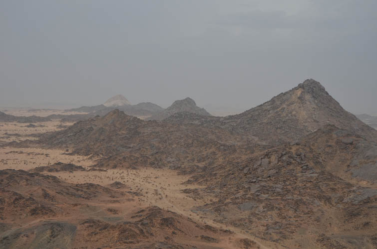
Before we knew it we were at the top, enjoying fabulous views of the sun setting over Bisha in the west. With nothing around us but endless sandy plains punctuated by a few black volcanic outcrops, you really get a sense of how vast and empty the desert really is – and also how insignificant you are in the middle of it all. It made me realize how little I actually got to see of this enormous land, how massive the kingdom is, of which I barely scratched the surface with the few short excursions I made. Saudi Arabia has so much to offer, but you need copious amounts of time if you want to do it any justice.
As daylight started to fade we made it back to our car just in time to avoid hiking in the dark. Five minutes after we had packed up it was almost pitch black! Not on the front side of the peak, however. When we drove back to the main road we were left with a very memorable picture of White Mountain’s illuminated west face, standing out in the night like a giant pile of flour. A very memorable last hike indeed.
Thank you Abdulrahem for being such a wonderful host and for taking me on this awesome little adventure in your backyard!
|
Elevation: |
1438 m (my GPS) |
|
Elevation gain: |
200 m |
|
Time: |
1.5 h |
|
Distance: |
1.8 km |
|
Difficulty level: |
Moderate (Kane), T4 (SAC) |
|
Reference: |
No info was available to me prior to trip |
|
Personal rating: |
3 (out of 5) |
NOTE: This GPX track is for personal use only. Commercial use/re-use or publication of this track on printed or digital media including but not limited to platforms, apps and websites such as AllTrails, Gaia, and OSM, requires written permission.
DISCLAIMER: Use at your own risk for general guidance only! Do not follow this GPX track blindly but use your own judgement in assessing terrain and choosing the safest route. Please read the full disclaimer here.
