Ascension Island
4 January 2015
Solo
An enjoyable hike with some off-trail exploring on Ascension Island
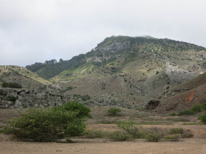
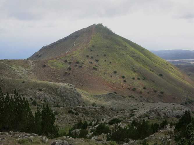
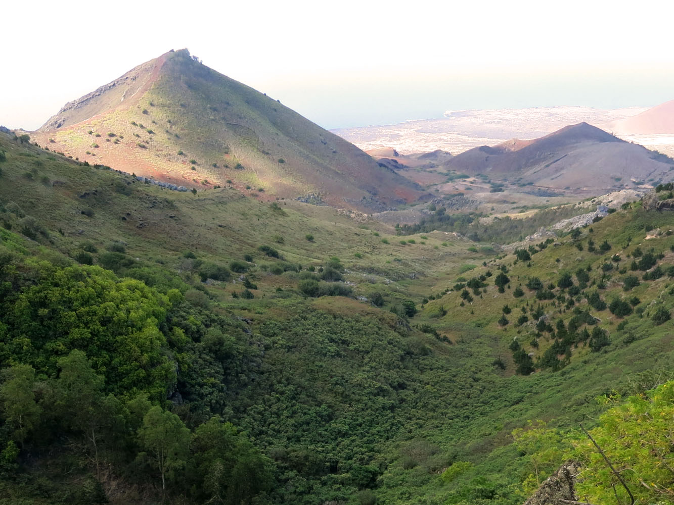
Another beautiful hike in a natural fairytale wonderland on this isolated British outpost called Ascension Island. Mountain Red Hill is really just a small outlier of Green Mountain, the island’s biggest and only proper “mountain”. Despite its unimpressive height of 550 m above sea-level, Mountain Red Hill is still an interesting hike, and it can be a slightly more challenging one if combined with the nearby Duck Pond hike as there’s no trail between the two. Both hikes are featured in the book “Letterbox Walks of Ascension Island”.
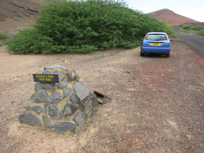
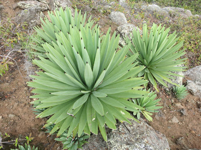
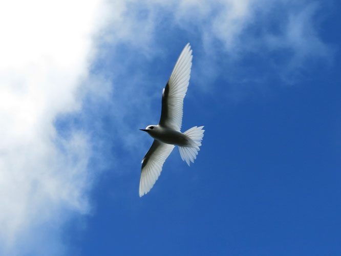
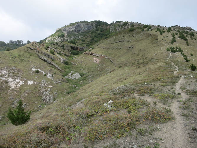
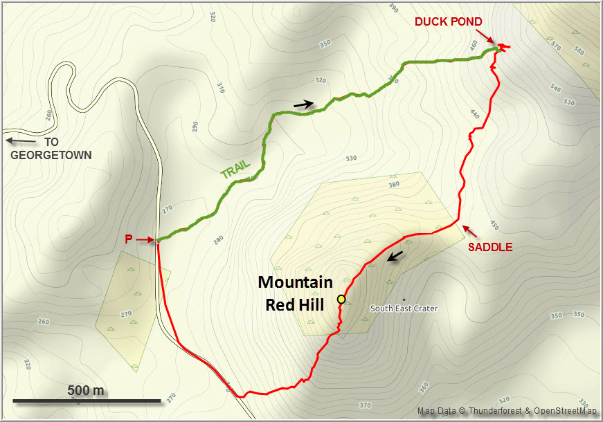
I parked at the trailhead for Duck Pond, which is close to both destinations. The trail leading up to Duck Pond was fun and entertaining: a narrow path winding its way through thorny shrubs, spiky cacti and yellow flower bushes, with lush green trees on Green Mountain in the background, and big boulders that look like oversized grey-coloured sugar cubes that someone spilled into the landscape. All of a sudden the bright white Fairy Terns appeared, the only seabirds that live up in the mountains here. They hover over you for a few seconds, then quietly disappear again…
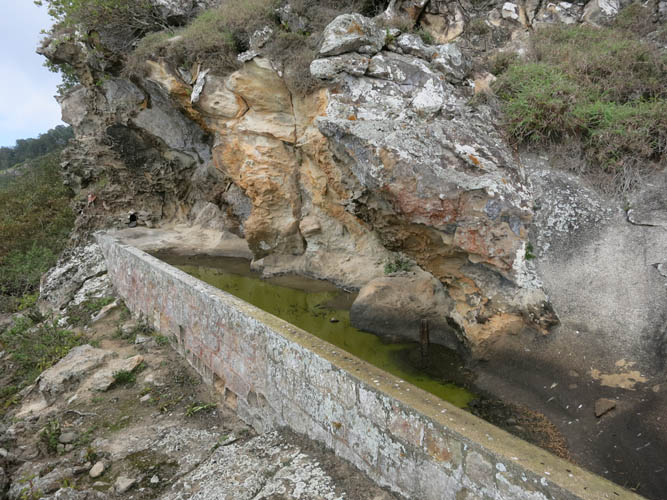
Duck Pond itself is a rather sad-looking man-made puddle with a green broth in it and a few upside down plastic ducks. I took a break and poked around a bit to see if there was a way to go higher from here, but the trail seems to stop at the pond (elevation ca. 530 m).
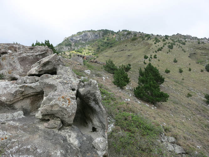
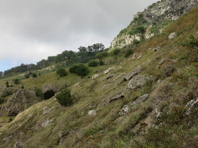
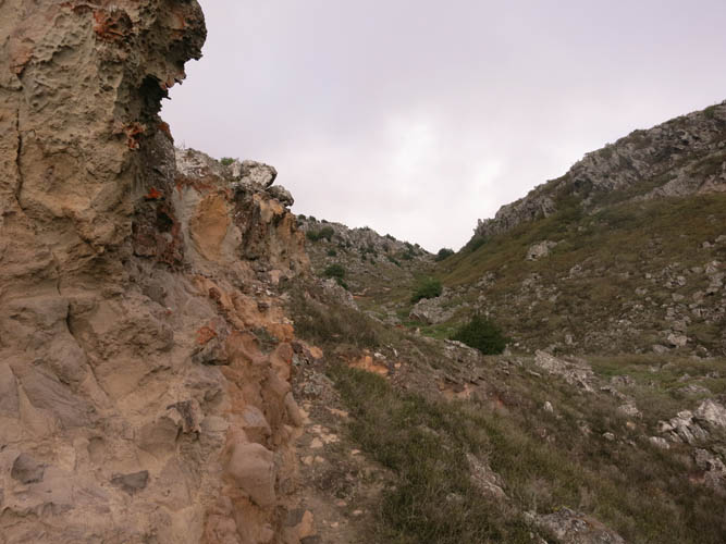
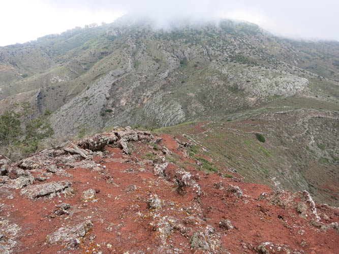
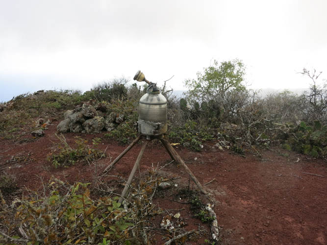
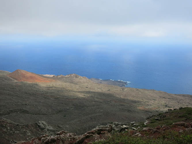
The traverse from Duck Pond to Mountain Red Hill was surprisingly challenging – there is no path here as nobody ever seems to combine these two hikes. I had to fight my way through lots of bushy undergrowth, climb across steep gullies with crumbly cliffs, and rock-hop across large boulders to avoid the thorns of surrounding shrubs. There was also some minor elevation loss and re-gain to get to the saddle west of the peak. From there it was an easy trudge along an open ridge full of red volcanic mud to the summit. The scenic views from the top of Mountain Red Hill were definitely worth the effort of getting here!
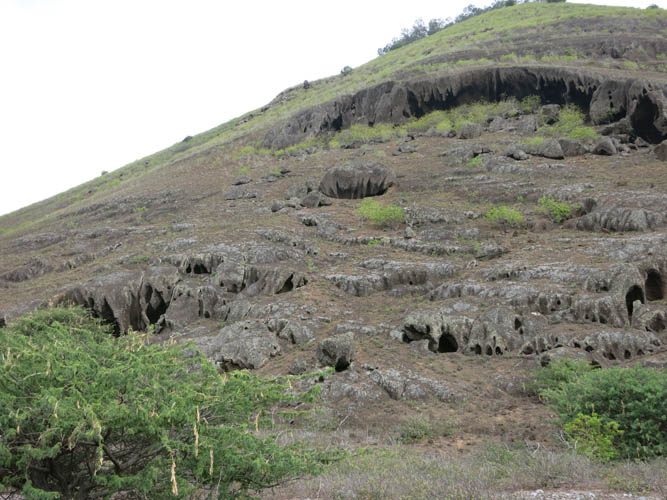
For the descent I first followed the south ridge and then chose a shortcut straight down the steep and rubbly slopes on the western side of the hill. Thorny cacti cover these slopes and you have to be really careful not to get yourself into a prickly situation. About 20 minutes after leaving the top I reached the paved road and followed it back to my car.
|
Elevation: |
859 m (official), 548 m (my GPS) |
|
Elevation gain: |
430 m |
|
Time: |
2 h |
|
Distance: |
4.4 km |
|
Difficulty level: |
Easy to moderate (Kane), T3 (SAC) |
|
Reference: |
Letterbox Walks |
|
Personal rating: |
3 (out of 5) |
NOTE: This GPX track is for personal use only. Commercial use/re-use or publication of this track on printed or digital media including but not limited to platforms, apps and websites such as AllTrails, Gaia, and OSM, requires written permission.
DISCLAIMER: Use at your own risk for general guidance only! Do not follow this GPX track blindly but use your own judgement in assessing terrain and choosing the safest route. Please read the full disclaimer here.
