Kananaskis, AB, Canada
22 September 2021
Solo
Tedious rubble and a quick descent
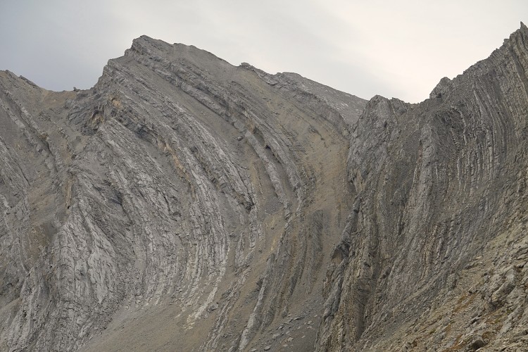
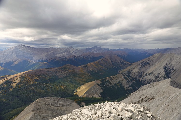
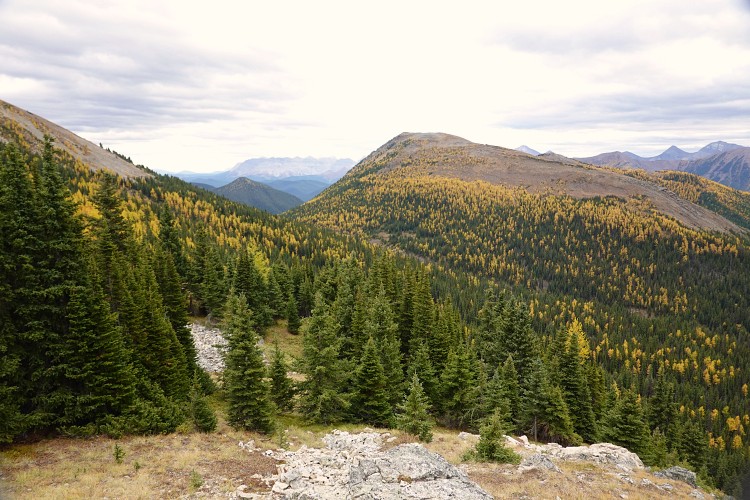
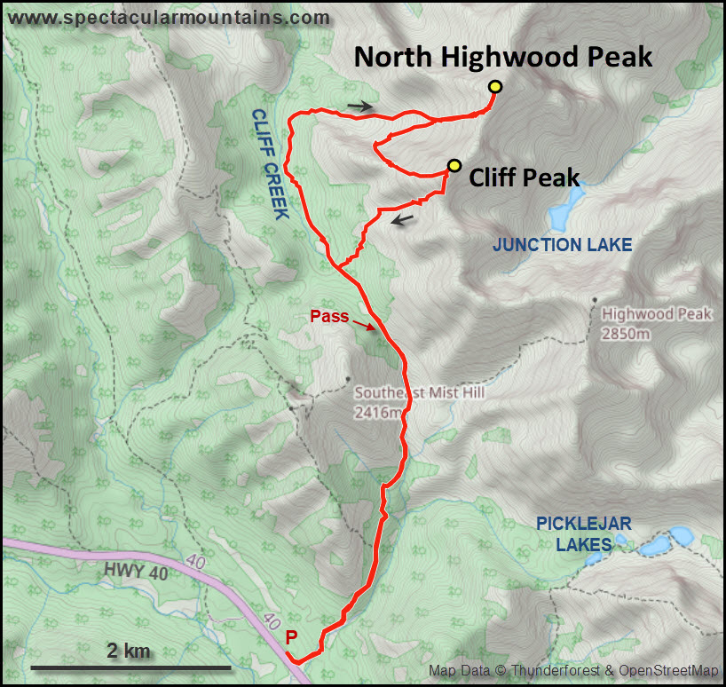
After climbing North Highwood Peak earlier in the day I decided to add another small peak to my day, the next highpoint along the ridge connecting North Highwood with Highwood Peak. This slightly lower peak is officially unnamed and “Cliff Peak” is in reference to Cliff Creek in the valley below. Coincidentally, the peak also features a major cliff band that hugs the ascent route described here.
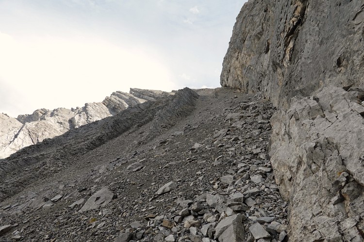
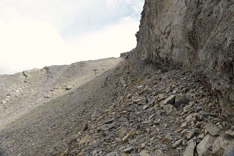
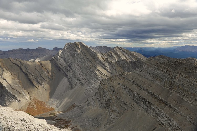
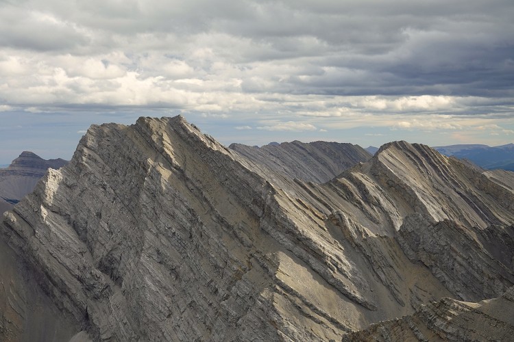
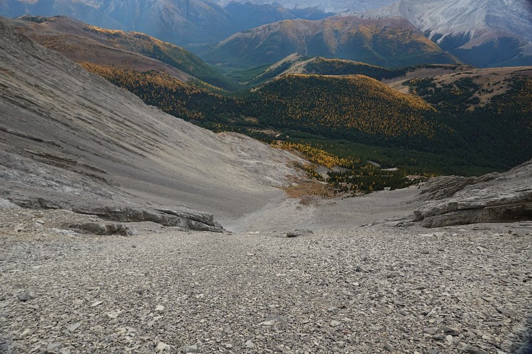
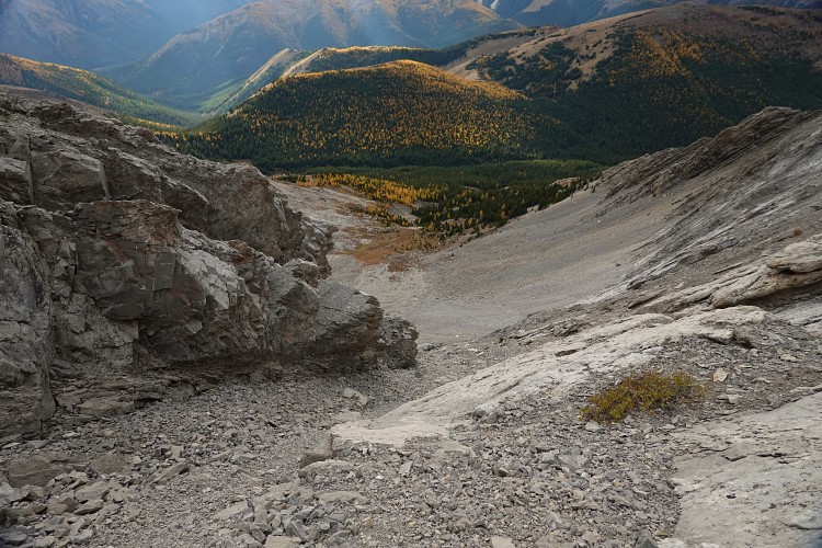
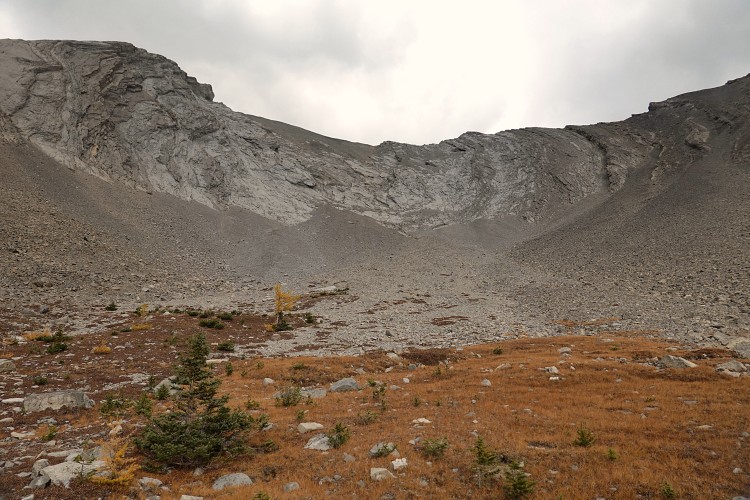
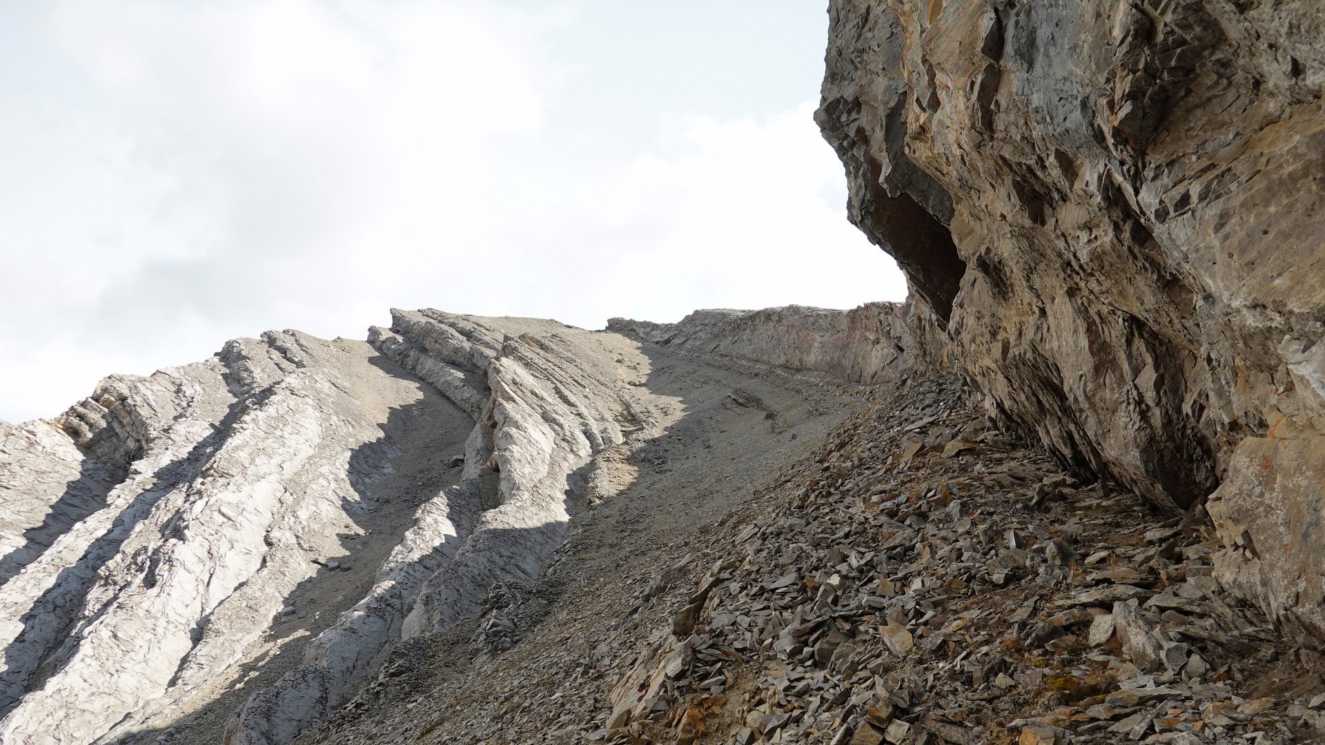
From the head of the valley SW of North Highwood Peak, I noticed a rubbly ramp that steeply curves upward in between several rock bands on the south side of the valley. It appeared to top out just below the summit of my next objective, and this was indeed the case. The route is tedious, though, with plenty of unstable choss and rubble that has accumulated just below a huge vertical cliff. This is perhaps better suited as a descent route, so doing my loop anti-clockwise would probably be smarter.
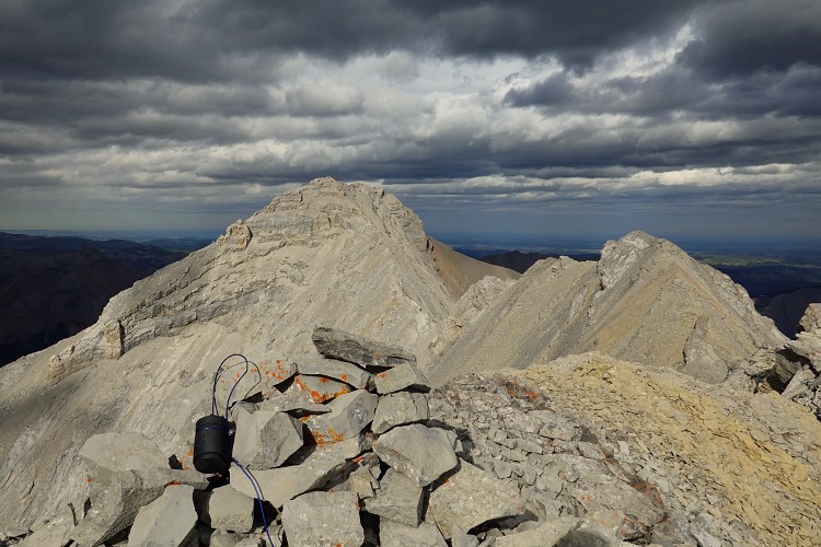
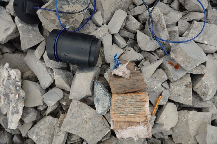
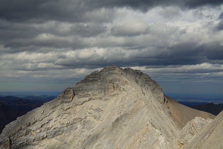
After trudging up 500 elevation metres of rubble, I wound up on the west ridge and only a short walk away from the cairned summit. There was yet another black PVC-pipe-style register with a wet and completely unusable booklet inside. Too bad, I would’ve loved to see the names and dates of any ascent records inside! These types of registers all have the same problem as I’ve seen again and again: unless there is a good intact rubber O-ring, water slowly creeps up the thread of the screw top no matter which way the container is placed. Some of them don’t have a rubber seal, or they don’t close all the way, or they become brittle over time, rendering them useless as a water-proof container. It seems the only long-lasting solution is either a glass jar with rubber-lined lid or, better yet, one of Ephraim’s famous pink ammo canisters :).
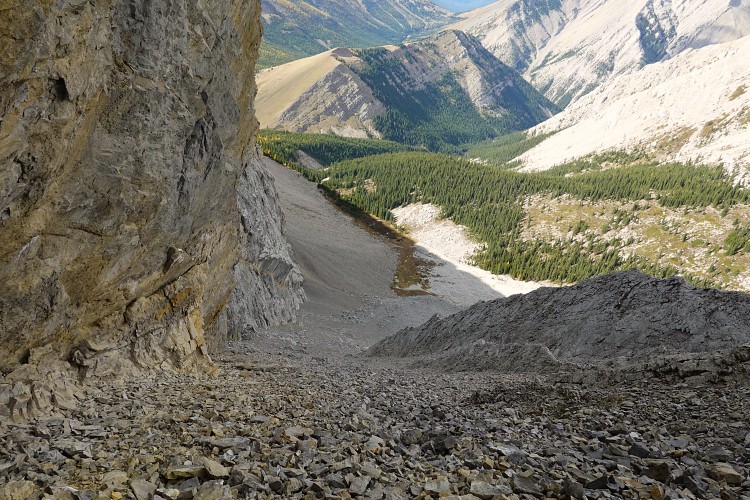
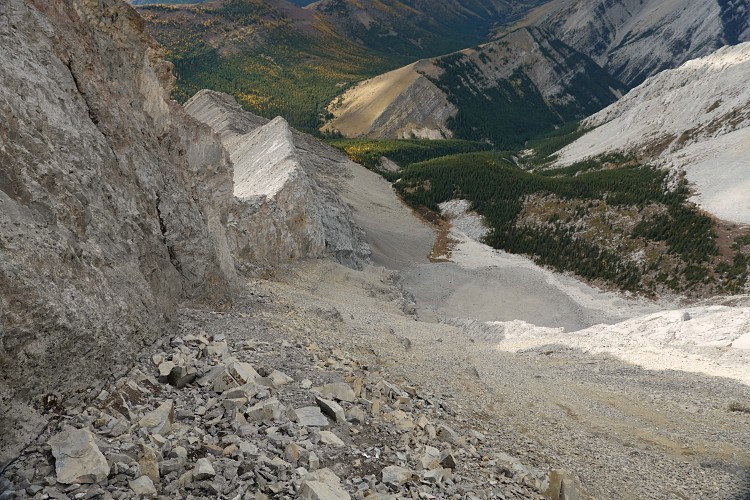
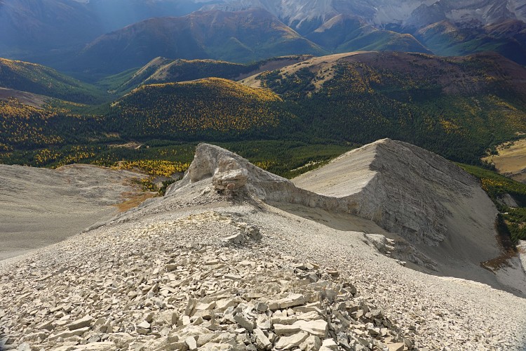
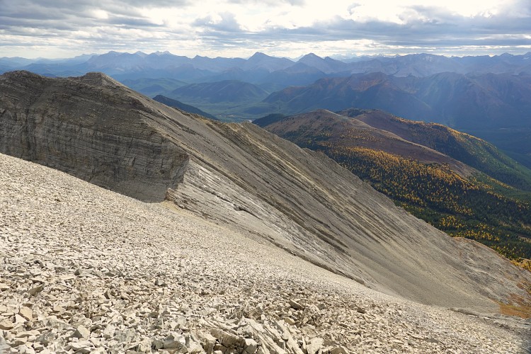
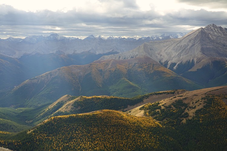
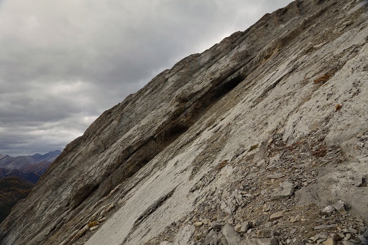
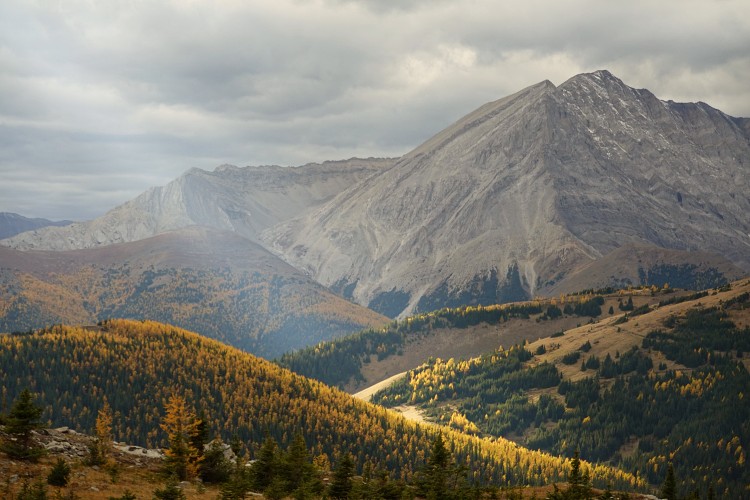
I could see dark clouds moving in from the west and strong winds blowing in so I didn’t take a long break but promptly started heading down. My descent route took me down the south ridge for a short stretch almost to the saddle between Cliff Peak and the next high point, then down the west slopes on scree, slabs and rock ribs. This route is basically analogous to the one on North Highwood Peak, with many of the same features but the rock is more rubbly here. Once I got down to meadows in the valley below I looked back up and realized that there were quite a few very steep slabs and even overhangs on either side of my descent route… I was relieved to see I had fortuitously picked the best way down.
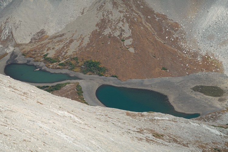
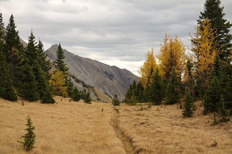
From the high valley a great “short-cut” route presented itself: instead of following the bushy valley down to where it intersects with the trail, I veered to skier’s left via open grass slopes and light forest with only a small elevation loss before rejoining the trail near the headwaters of Cliff Creek. Now all I had to do was to hike over the pass and follow the excellent trail back down along Picklejar Creek.
North Highwood Peak is by far the more enjoyable of the two, but if you add on Cliff Peak it makes much more sense to do it first, i.e. to complete the loop in an anti-clockwise manner. This will facilitate route-finding on the way up and slightly lessen the choss bashing misery on descent.
|
Elevation: |
2812 m |
|
Elevation gain: |
1950 m |
|
Time: |
9.0 h |
|
Distance: |
18.8 km |
|
Difficulty level: |
Moderate (Kane), T4 (SAC) |
|
Comments: |
Stats refer to combination of North Highwood Peak and Cliff Peak |
|
Reference: |
Own routefinding |
|
Personal rating: |
3 (out of 5) |
NOTE: This GPX track is for personal use only. Commercial use/re-use or publication of this track on printed or digital media including but not limited to platforms, apps and websites such as AllTrails, Gaia, and OSM, requires written permission.
DISCLAIMER: Use at your own risk for general guidance only! Do not follow this GPX track blindly but use your own judgement in assessing terrain and choosing the safest route. Please read the full disclaimer here.