30 July 2016
With Richard
For an easy hike in a relatively unknown and uncrowded area, Chaffen Peak is perfect. There is no scrambling at all, but the hike will still make you sweat with over 1000 metres elevation gain and more than 18 km to overcome. For Richard, it was a good introduction to this lovely forested region in the Livingstone Range of southern Alberta, and a great start to our August long weekend camping trip.
The Livingstone River was easy to cross at this time of the year: although water levels were knee-deep, the current was slow and the water was actually quite refreshing to wade through. The area seems to be very popular with random campers who come here to relax, fish, hike, or party (we heard loud music blasting across the landscape all the way from Chaffen Ridge). On the other side of the river, we rock-hopped a small creek and then followed a good path on the north side of the creek the led us east to the start of the ridge. We only saw a handful of other people in this valley: a couple of guys fishing along the creek and a pair of ATV enthusiasts that were roaring along the trail with much noise. Other than that, however, we had the entire day to ourselves – excepting the herds of cows of course (they made even more noise than the ghettoblasters of those partying kids!).
The route along the south ridge that I had mapped out in Google Earth turned out to be very straightforward. It was an easy and really enjoyable hike right along the edge of the treed ridge that higher up sported a small conglomerate cliff on the west side. There was even a faint trail in places, although it looked more the work of animals than humans. We were surprised how many ups and downs there were along this ridge – after all, we did have to work for this little peak! A large cairn greeted us at the highpoint about a kilometer and a half southwest of the summit. Then there was another gentle dip before we went up again to the true summit of Chaffen Peak. The rather small cairn here attests to the unpopularity of this lowly mountain.
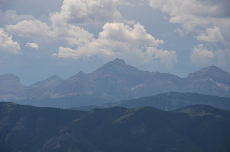
We enjoyed a fine summit panorama with Mount Speke and Mount Livingstone immediately to the north, and bigger and rockier summits farther to the west, including the so-called “Elevators”, Tornado Mountain, and Gould Dome (which we attempted the next day). Even Crowsnest Mountain and the Seven Sisters showed up in brilliant blue skies to the southwest.
Our return trip was much faster and more efficient due to the fact that we chose to stick to small animal trails just underneath the small cliff on the west side of the south ridge. There were short sections of soft shale to sink our feet into and none of the trees that had made the ascent a bit more time-consuming. Thunderstorms appeared in the distance as we headed back in the valley. But the rumbling and ensuing short rainfall did nothing to dampen our spirits, and as we waded the river again to return to our car we both agreed that this had been a thoroughly enjoyable outing in a corner of Alberta that we want to see more of in the future.

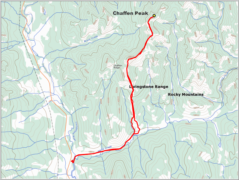
DISCLAIMER: Use at your own risk for general guidance only! Do not follow this GPX track blindly but use your own judgement in assessing terrain and choosing the safest route.
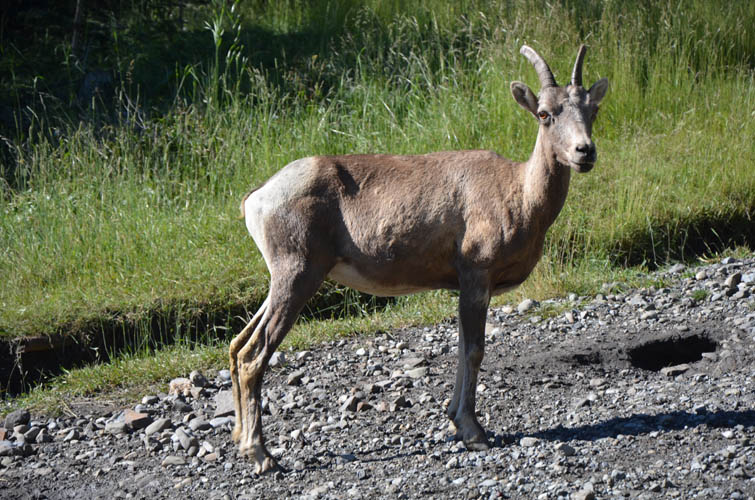
A mountain goat greets us on the way to the Livingstone Range on Hwy 532.
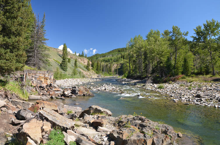
Livingstone River.
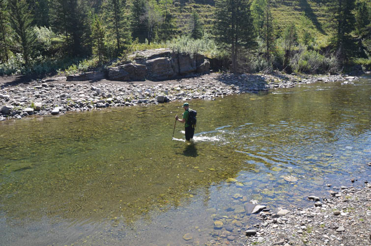
Richard crossing the river. The water was much warmer than I expected! Still not really warm, but let’s say refreshingly cold.
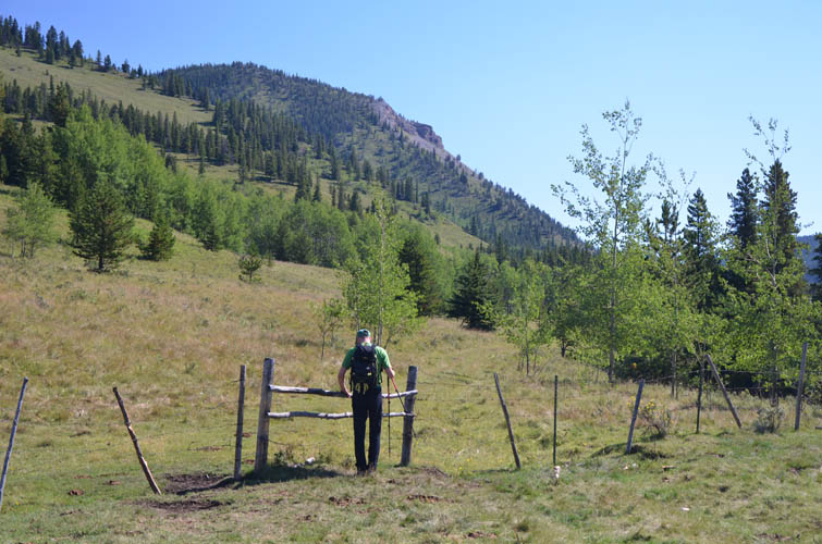
Right after crossing the river and a small creek, we hiked along the north side of the creek, passing through a couple of gates en route.
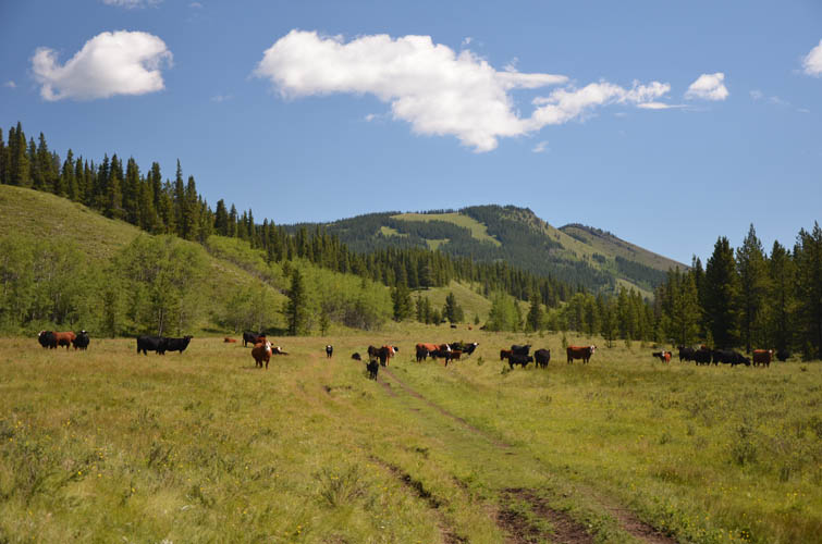
Cows kept us company in the valley.
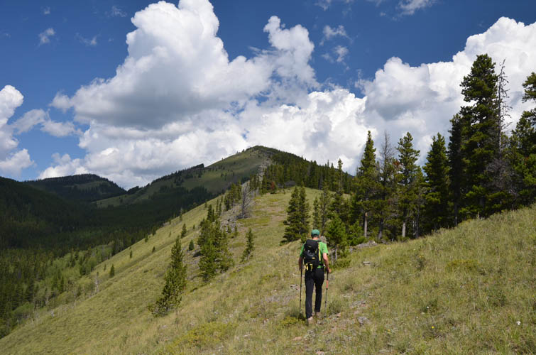
The start of the long, sinuous south ridge.
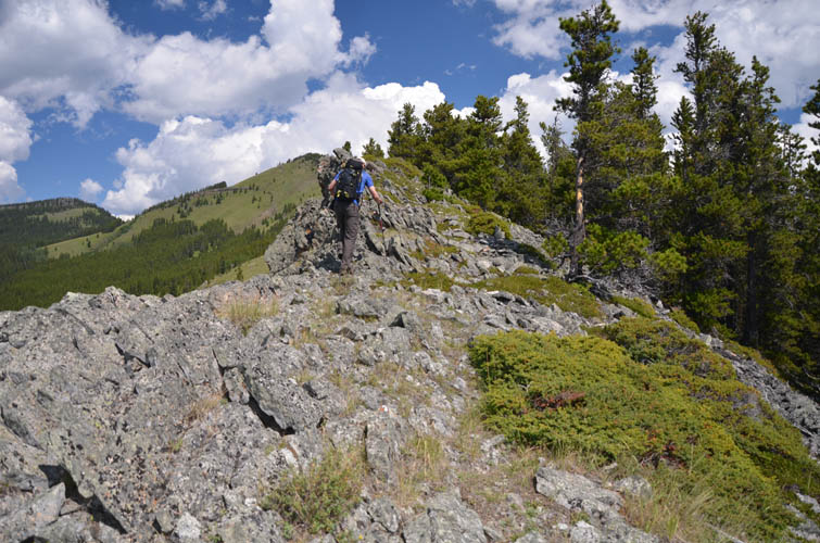
On the way up we stuck to the ridge crest, just above a short drop-off to the left.
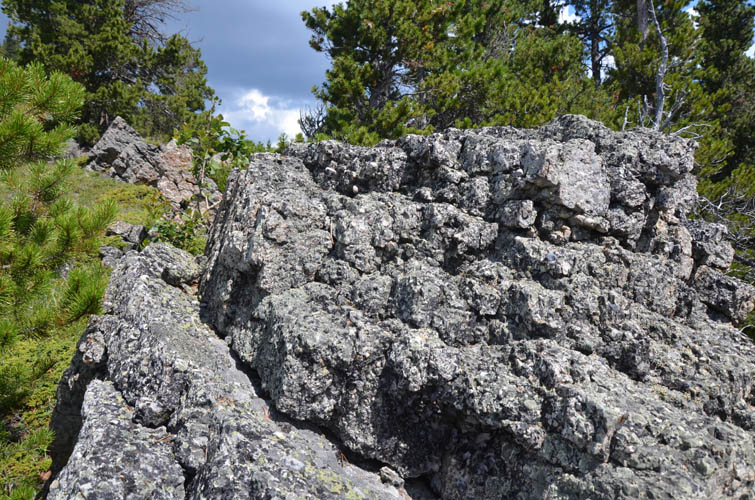
Much of the rock here consists of conglomerate.
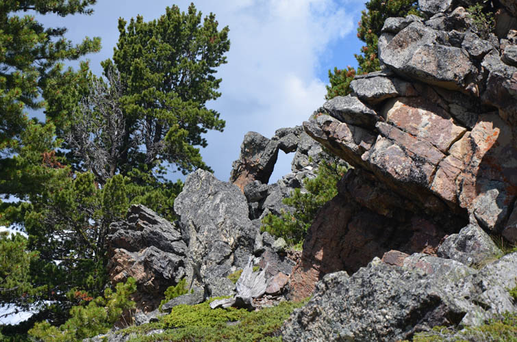
The cliff is not very high and has some interesting features such as this small window.
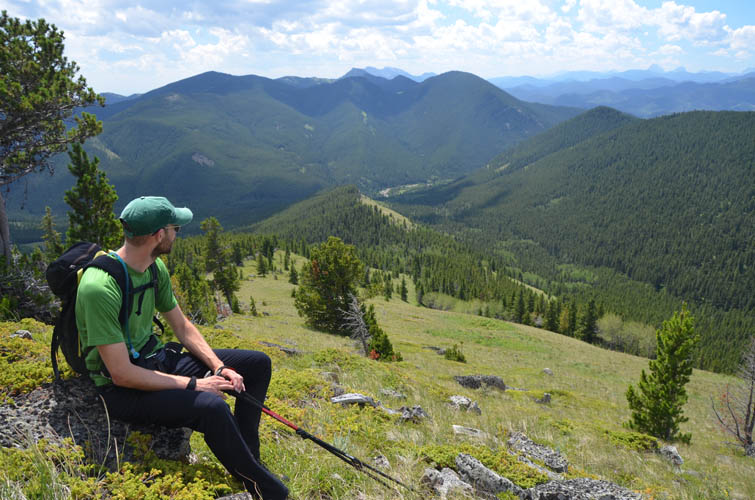
Looking back (south) to the valley where we came from.
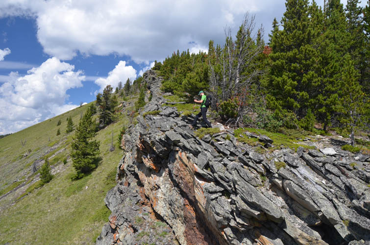
Richard hiking along the ridge. It certainly has a lot of ups and downs!
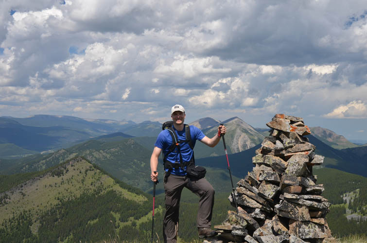
The first high point where a large cairn awaits. Just above my left hand in the distance are Mount Speke (right) and Mount Livingstone (left), both directly to the north.
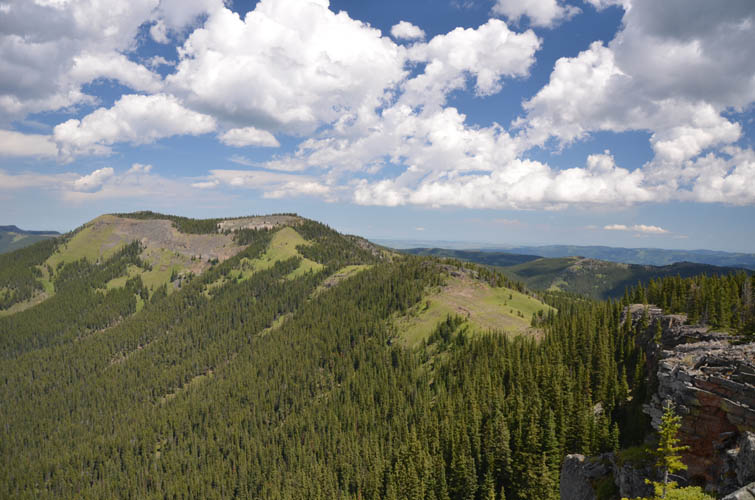
The remaining part of the ridge that leads to the true summit (far left).
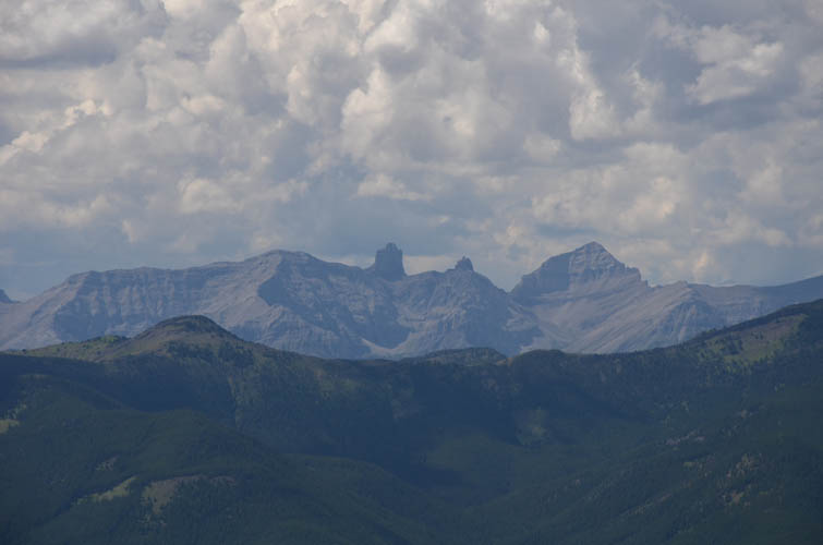
A view of “The Elevators” (centre) and Beehive Mountain (right) to the west.
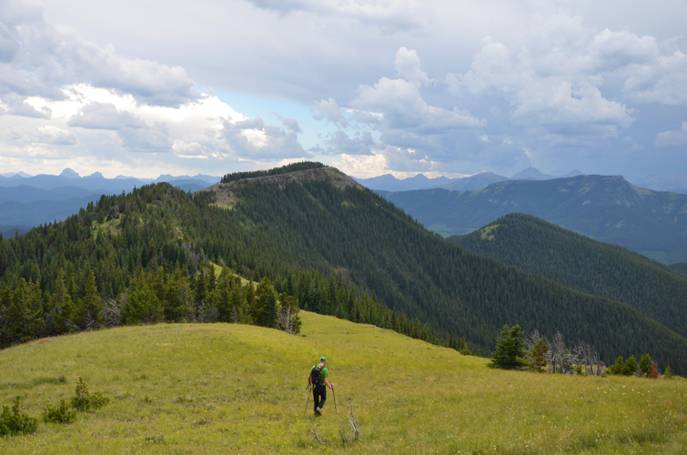
Heading back along gentle grassy terrain.
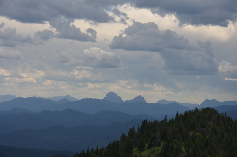
Crowsnest Mountain and the Seven Sisters are far to the SW of us.
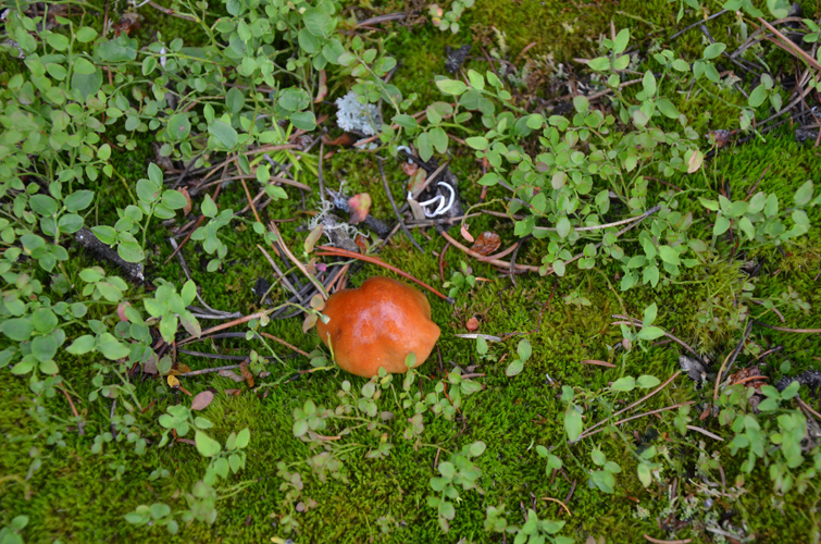
We were surprised by the abundance of mushrooms in this area. It has been a wet July!

We must’ve seen some 20 different varieties of mushroom on this hike alone.
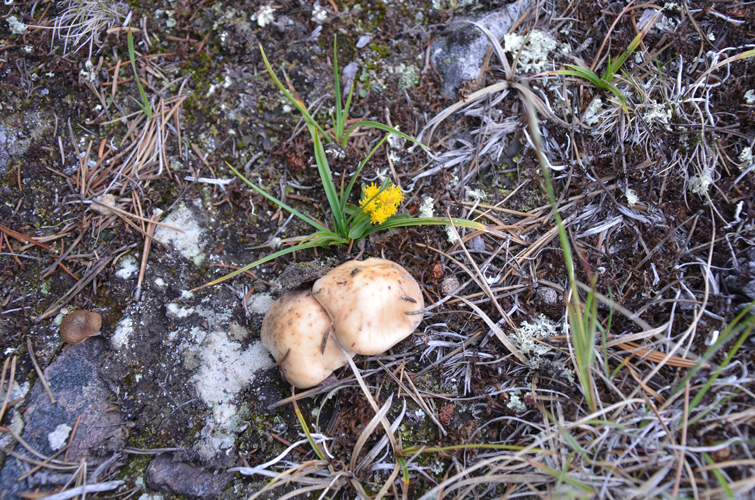
Neither of us know anything about mushrooms. However, we often wondered if any of them would be edible.
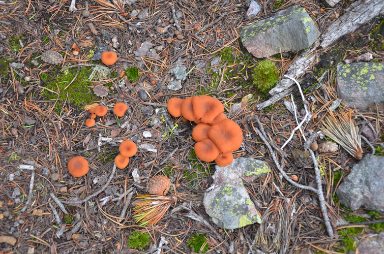
A particularly striking type of mushroom in the forested part of Chaffen ridge.
