Kananaskis, AB, Canada
29 November 2020
Solo
Highly enjoyable Front Range loop
Glasgow North is a good example for a peak that isn’t really a peak – it’s merely a small outlier to another outlier of Mount Glasgow. Gillian Daffern’s Kananaskis Country Trail Guide has made it so popular that it has become a destination in its own right – rightly so. And moreover, who cares whether you call it a mountain, a small peak or just an outlier (and there are no official definitions of these terms anyway). This is a beautiful area and the hike up to Glasgow North is definitely a great trip.
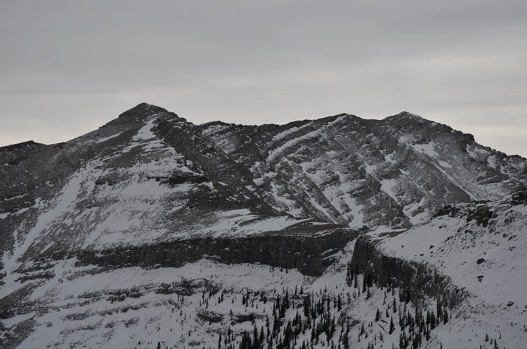
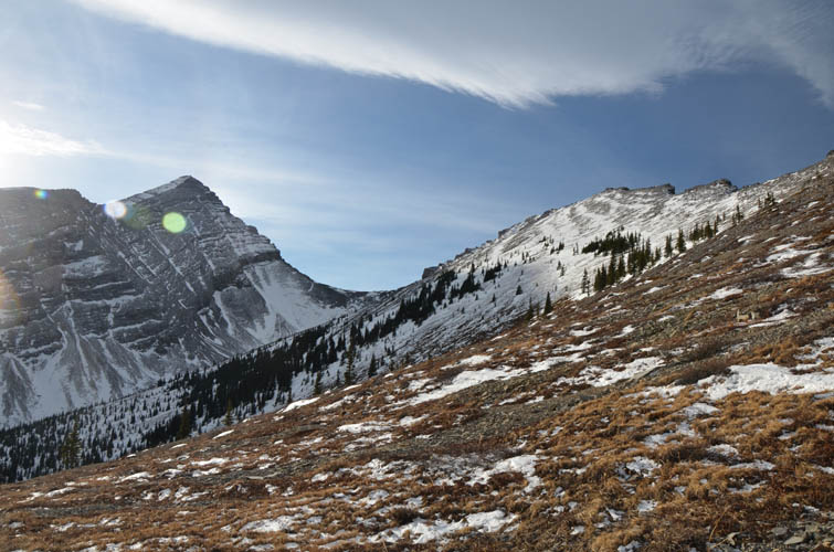
The higher and arguably more impressive peak that sits in between Glasgow North and Mount Glasgow itself – unofficially called Garriochmill Peak – is even more fun to ascend with some interesting scrambling along the way. My main motivation was my friend Vern who had done the traverse earlier this year.
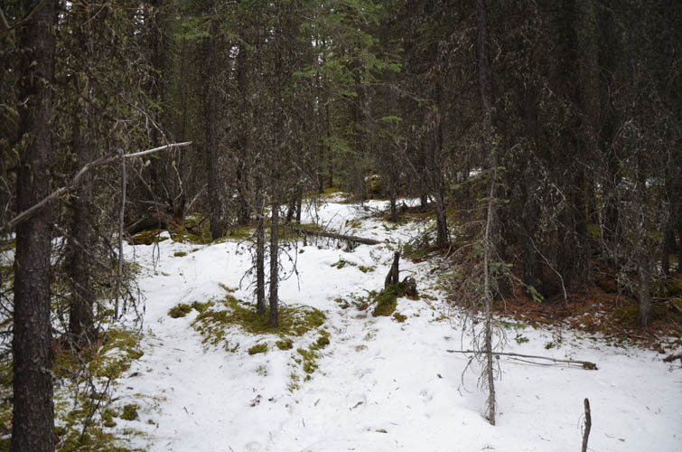
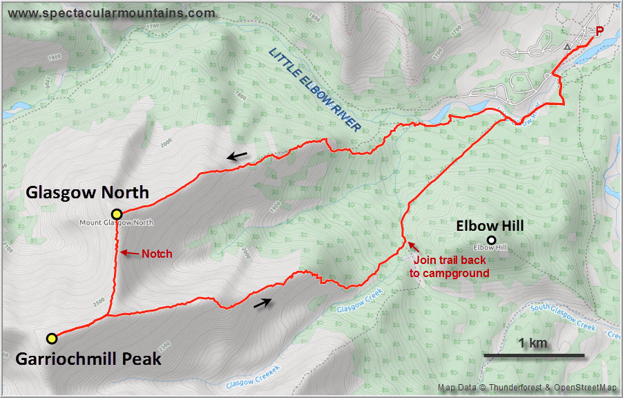
After crossing the small bridge at the Elbow Campground I took a sharp right and followed the myriad of trails leading up to the treed east ridge of Glasgow North. Even though I lost the trail a few times, I eventually landed on a well-frequented path with fresh boot prints in the snow. A short while later I trudged past a big group of hikers that were also out to enjoy this wonderful day with unusually dry conditions. The trail is surprisingly well-defined once you’re on it, and then you just follow the ridge top straight up. Once out of the trees, there are two or three small rock buttresses that involve some easy scrambling moves.
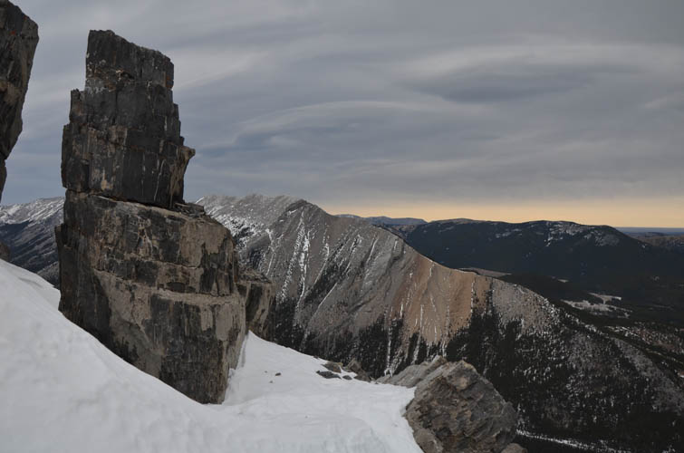
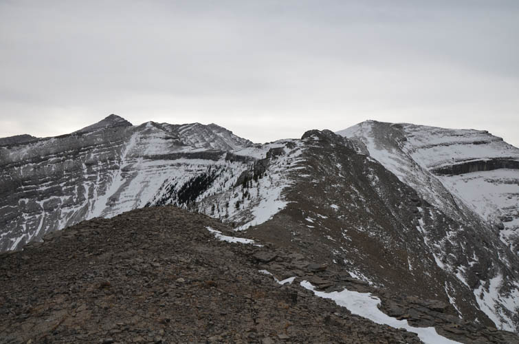
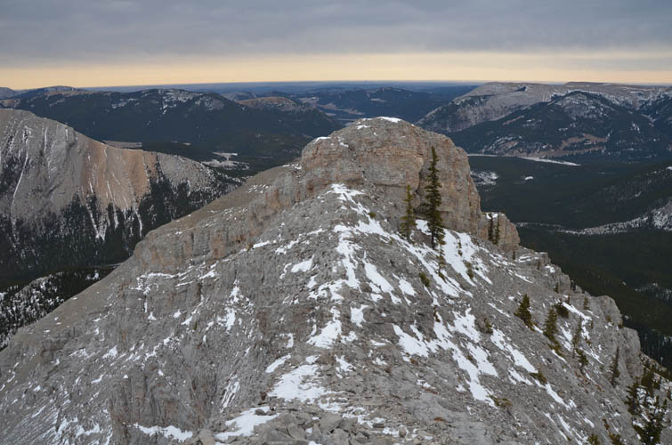
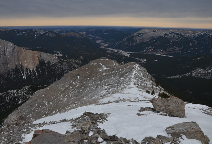
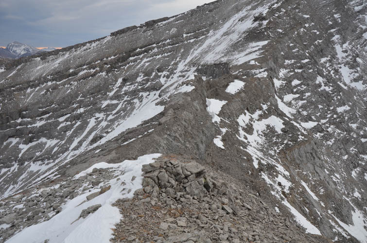
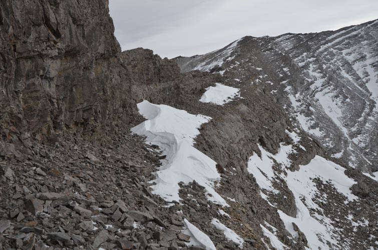
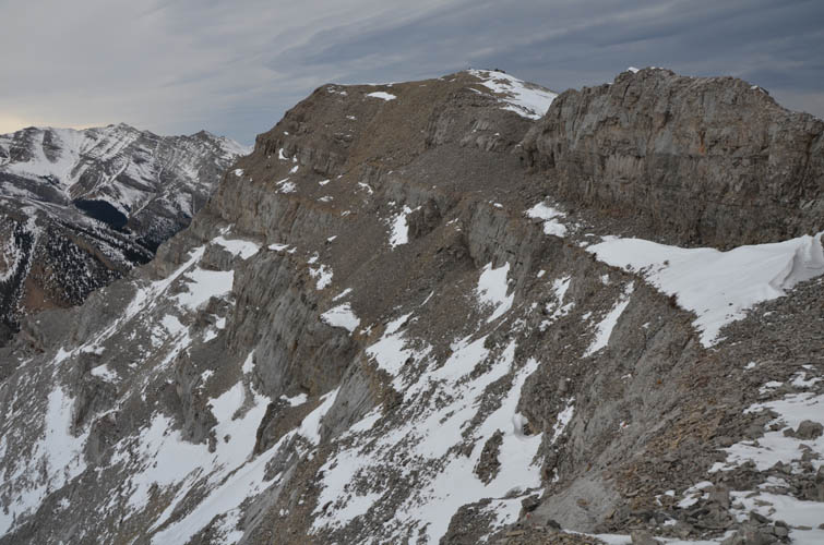
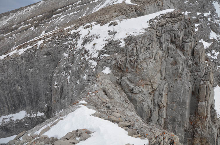
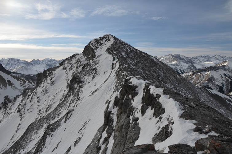
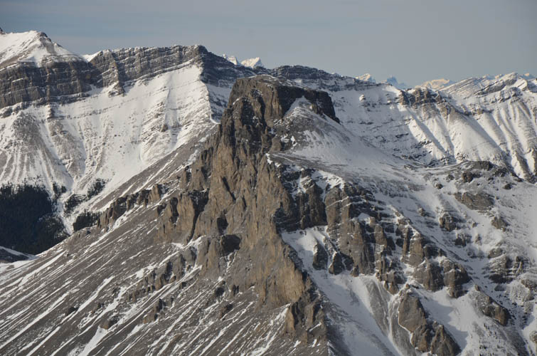
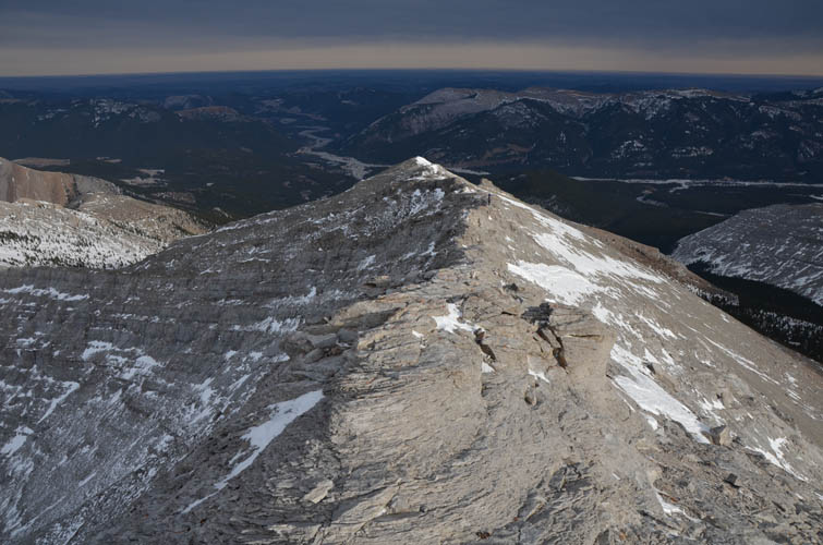
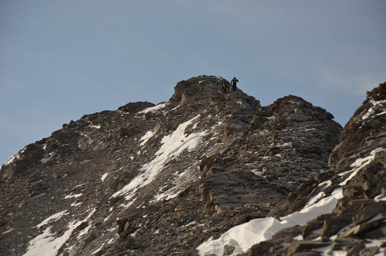
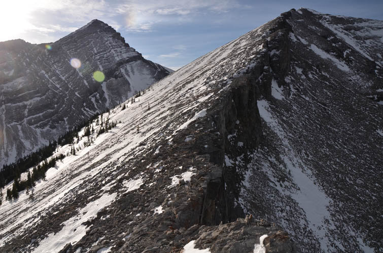
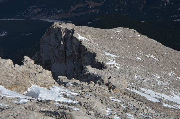
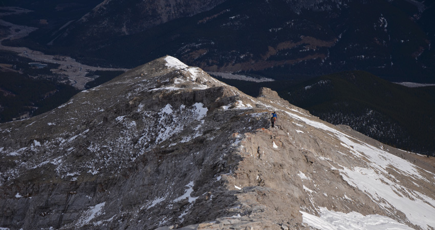
The broad summit of Glasgow North offers plenty of space for lots of people, but I was the only one here and the other group was nowhere to be seen. After signing the register, I continued along the connecting ridge south towards Garriochmill Peak. This was the most interesting scrambling of the day. Nothing overly difficult, but if there’s too much snow this traverse can quickly turn into a mountaineering effort. With the relatively dry conditions today it was perfect. I first followed the ridge crest until drop-offs near the low point forced me to scramble down the right (west) side onto a fair-sized ledge. This ledge sits just below the crest and parallels a vertical rock band. A good game trail can be followed that after a short distance leads back up the ridge crest and over a mildly-exposed notch. Some routefinding is required, but the notch is probably the crux of the trip (a no-go with snow or ice on it).
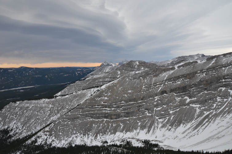
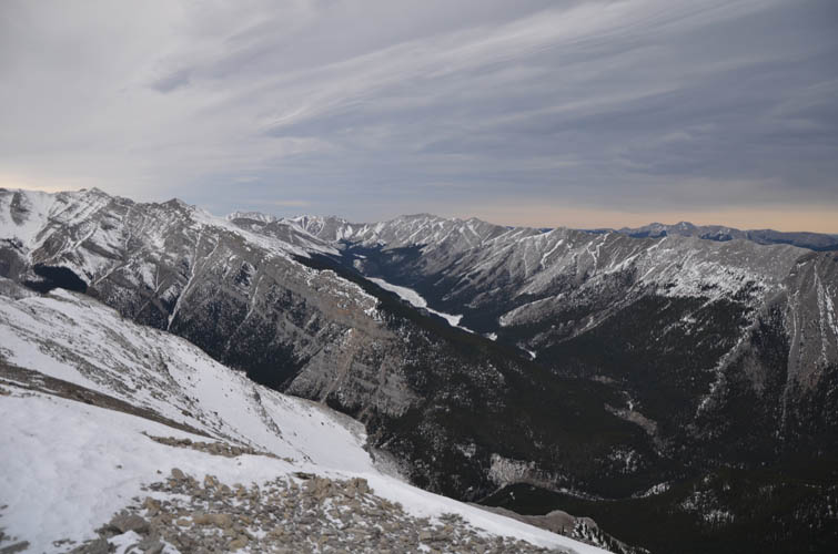
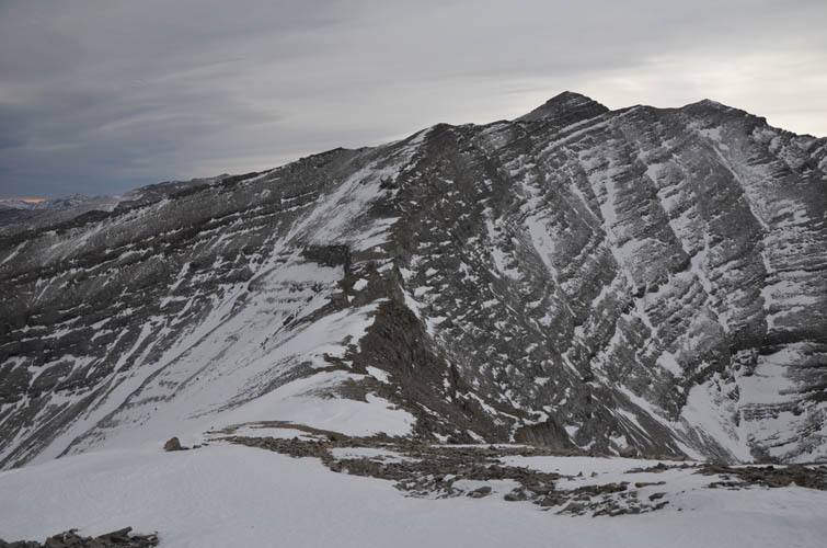
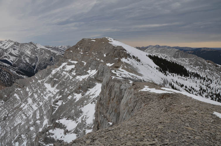
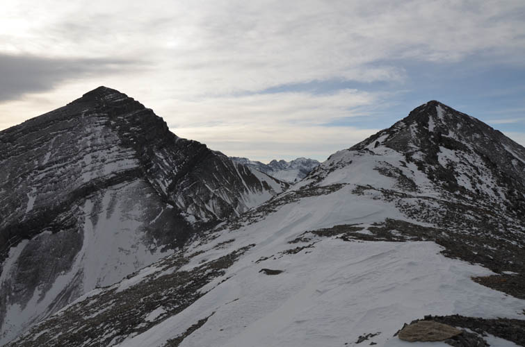
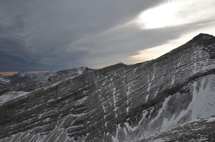
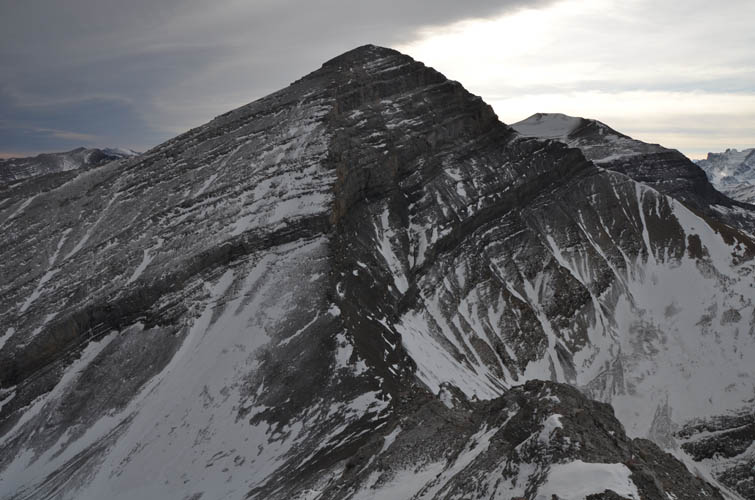
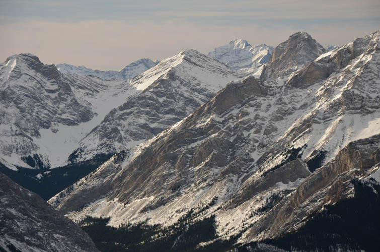
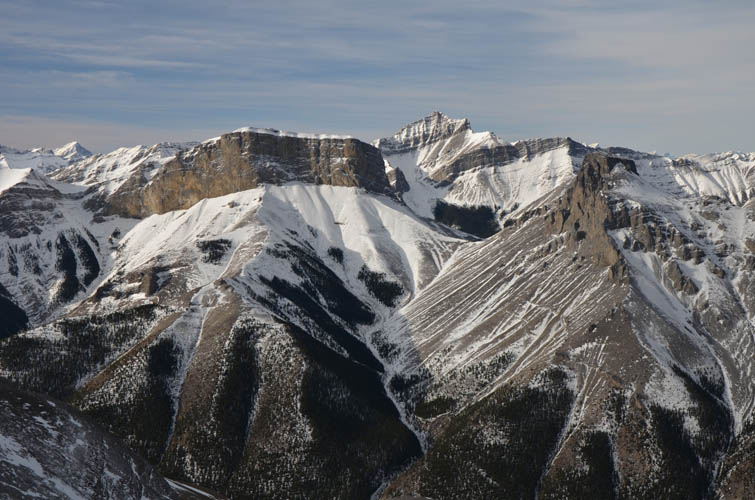
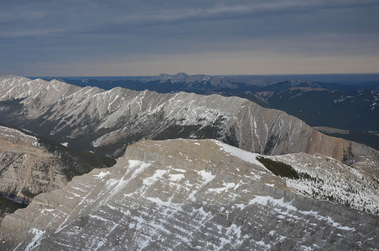
The rest of the ascent was a really enjoyable hike along the ridge with some fun scrambling where the crest narrows in a few places. Garriochmill Peak is significantly higher than Glasgow North (>220 m) and, being further south, offers spectacular views of Mount Glasgow’s steep north and NW face. There’s no way you can scramble from Garriochmill to Glasgow by the way – that’s definitely an alpine climb and I’m sure it’s been done before.
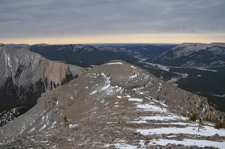
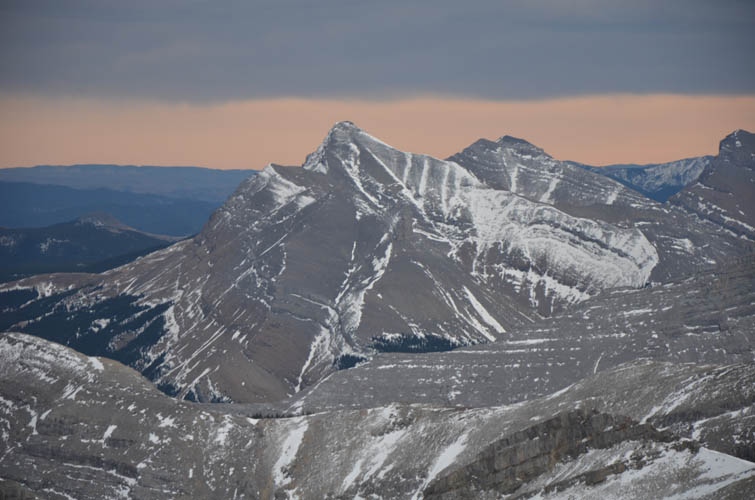
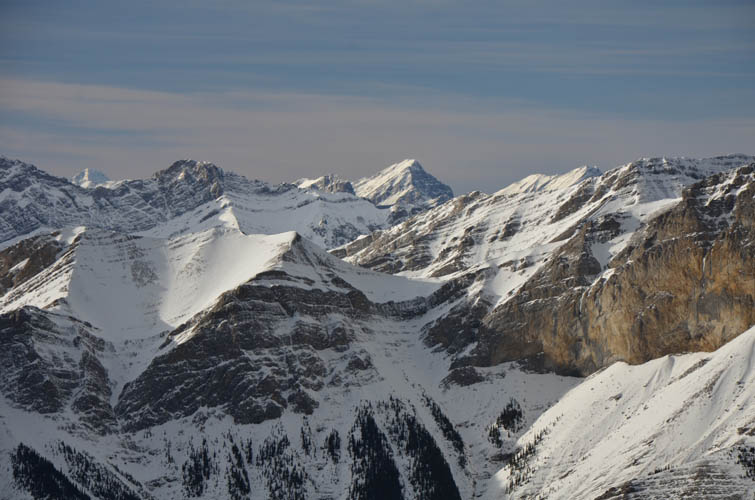
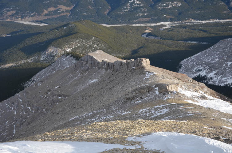
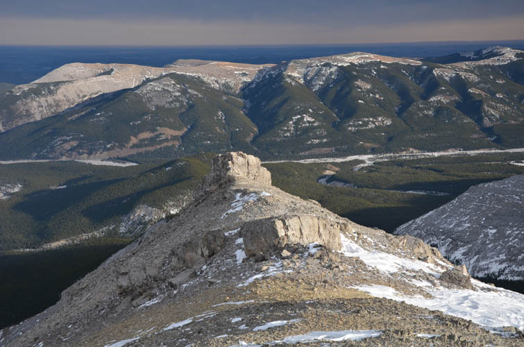
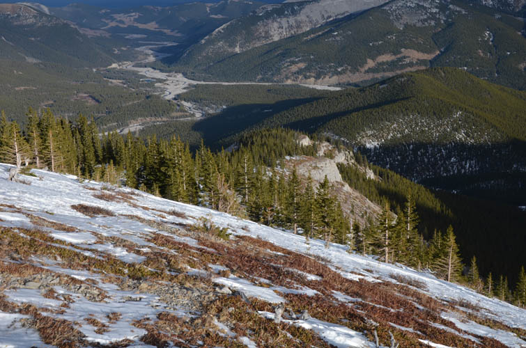
On my way down I ran into one other couple that had come up from Garriochmill’s east ridge, which was my descent route. I really loved this ridge! Easy terrain to walk on, some neat little rock features along the way, and gorgeous views of the foothills and plains to the east with the warm sunlight illuminating the limestone around me. There is no trail, but the route is straightforward despite some light bushwhacking I had to do in the forest lower down to get to the trail in the valley just west of Elbow Hill. From here it was a comfortable hike on an excellent path back to the parking lot. Fantastic little trip!
|
Elevation: |
Glasgow North: 2489 m (my GPS) |
|
|
Garriochmill Peak: 2713 m (my GPS) |
|
Elevation gain: |
1280 m |
|
Time: |
6.5 h |
|
Distance: |
16.0 km |
|
Difficulty level: |
Easy (Kane), T3 (SAC) for Glasgow North |
|
|
Moderate (Kane), T4 (SAC) for the traverse to Garriochmill |
|
Reference: |
Spirko, Vern |
|
Personal rating: |
5 (out of 5) |
NOTE: This GPX track is for personal use only. Commercial use/re-use or publication of this track on printed or digital media including but not limited to platforms, apps and websites such as AllTrails, Gaia, and OSM, requires written permission.
DISCLAIMER: Use at your own risk for general guidance only! Do not follow this GPX track blindly but use your own judgement in assessing terrain and choosing the safest route. Please read the full disclaimer here.
