20 July 2014
With Serge
This was only the second time that Serge joined me on one of my mountain adventures (and it’s hopefully not the last!). On a short visit from Edmonton, he wanted to spend the weekend relaxing but also fancied a hike of some sort. So we decided – after much debate and much pivo the night before – to go for a relatively “short” outing in Kananaskis. Just like on our first hike a year earlier, Serge got more than he bargained for…
After driving out of Calgary relatively late on Sunday morning, we embarked on our trip around 10 am at the Burstall Pass parking lot. The initial section along Burstall Pass trail was really easygoing and delightful. There were plenty of hikers out on this beautiful July weekend. Serge had just bought himself a brand-new pair of boots (exactly the same as mine), poles and pants, and I could tell he quite enjoyed himself testing out his new gear.
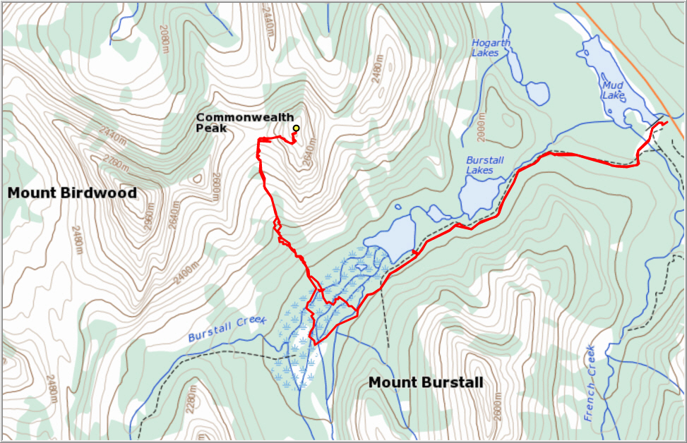
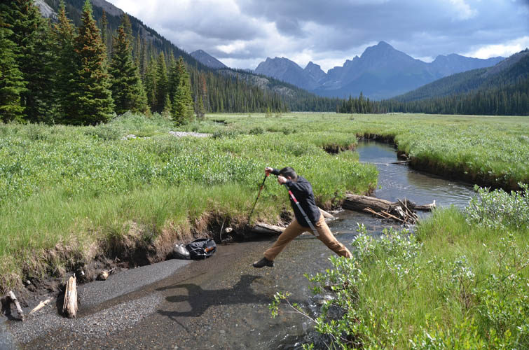
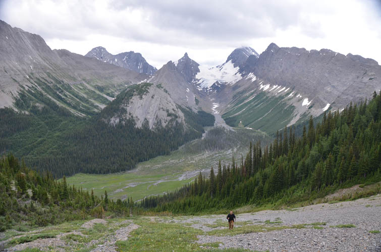
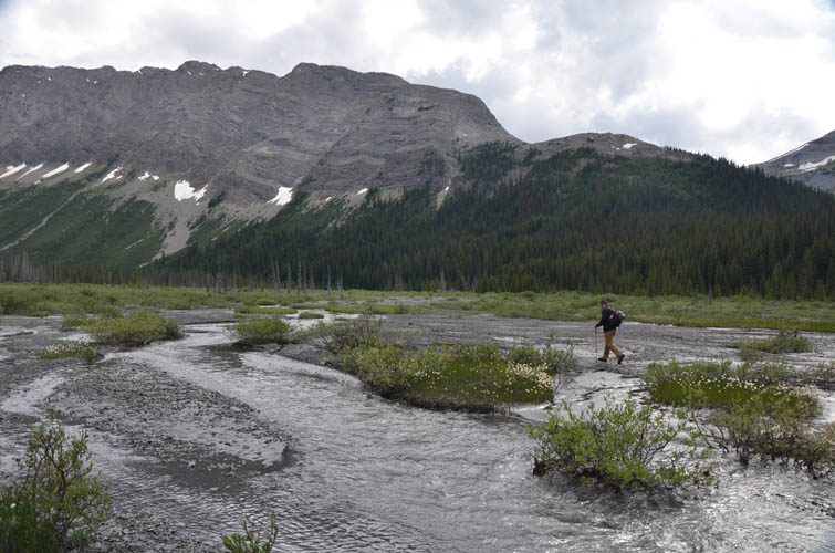
We followed Kane’s description and started crossing the wide stream valley to reach the southern ascent slopes of Commonwealth Peak. Although we had brought old sneakers for fording the water, we kept our boots on for as long as we could… hoping to make it across this boggy, wet marshland with dry feet. And we almost succeeded! Water levels in the myriad of little streams that run along this flat plain were pretty low, allowing us to hop over most of them, except the last one: that one was a tad too wide. But laziness was bigger than our practical mind this day, so it was no wonder we ended up splashing through ankle-deep water on our last jump. To make matters worse, Serge’s attempt at throwing his backpack across the last creek miserably failed: it landed on the very edge of the embankment and then slowly rolled back into the water.
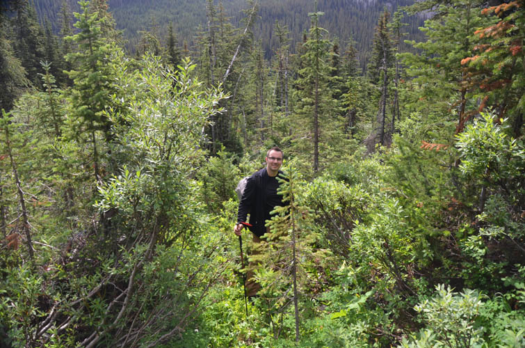
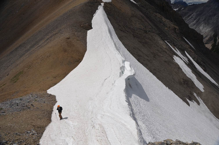
Once past the boggy valley, we were faced with the next hurdle: finding a decent trail up the lower approach slopes. We stuck to the left side of the treed avalanche gully, but soon ended up in a mess of dense bushes and trees. I tried my best to convince Serge that there had to be a good path somewhere and we were close it finding it – to no avail. My reputation was gone. It was miserable bushwhacking and neither of us had any fun here! Eventually, we found our way out of the annoying jumble of shrubs and pine trees as the terrain cleared higher up. A trudge on much scree followed all the way to the high col sitting between Pigstail Peak and Commonwealth Peak.
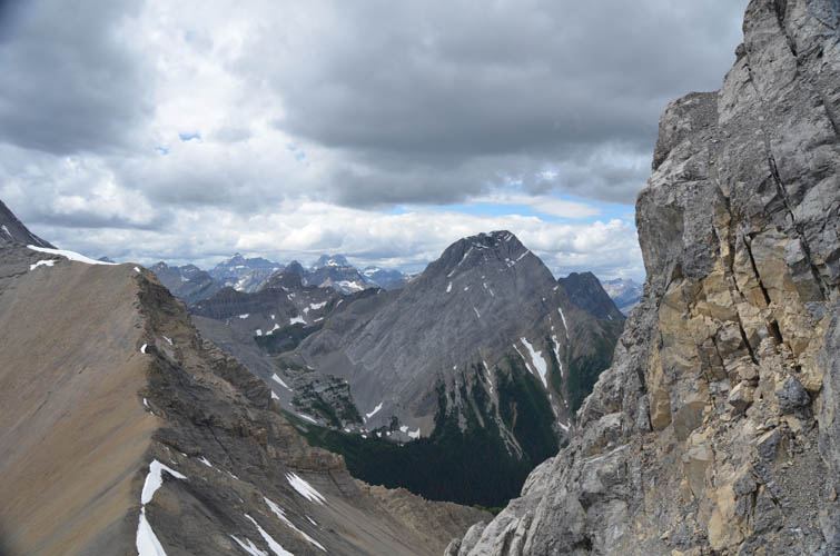
The views down the other side of the col were absolutely gorgeous and Serge decided to take an extended break here while I went for a quick scramble to the summit. There was a lot of loose rubble at first, followed by a short section of good hands-on scrambling to the summit. The views were amazing for such a “minor” peak in the area! I particularly enjoyed the views of the dramatic east face of Mount Birdwood from here.
On our descent we had learnt our lesson and avoided the thick bush on the lower slopes, sticking more to skier’s right where the forest was older and less dense. There was even some flagging here and there. The streambed crossing was also smoother than in the morning: we headed a little further west and thereby circumvented most of the boggy areas, keeping our boots all dry this time.
Back on the Burstall Pass trail we were surrounded by crowds of people again. There is certainly something special about venturing “off the beaten path”, even if it takes a few sacrifices to get there. Today was the perfect example of that and despite the streams (and bushes) we had to jump, it was all well worth the effort in the end!
DISCLAIMER: Use at your own risk for general guidance only! Do not follow this GPX track blindly but use your own judgement in assessing terrain and choosing the safest route.
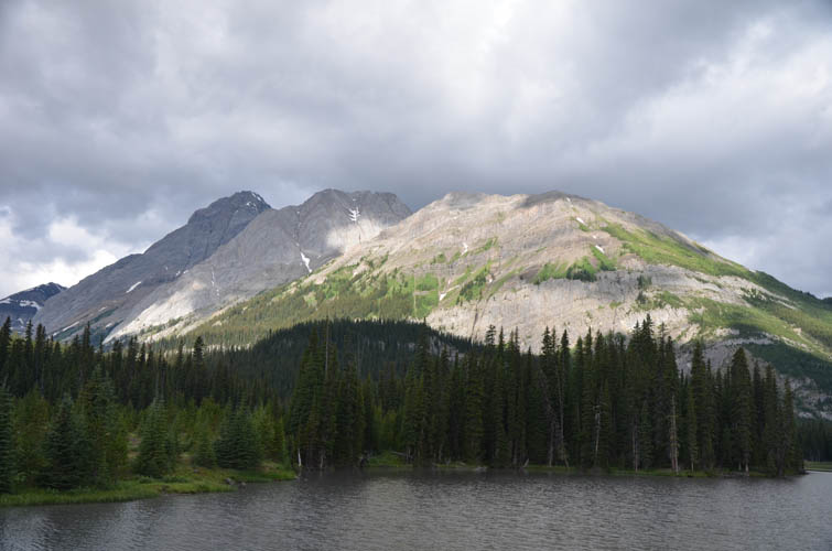
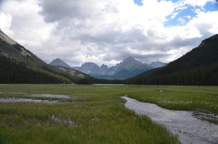
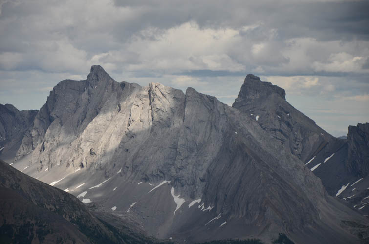
As seen from Mud Lake our objective for the day is on the right, flanked by Pigstail and Birdwood Peak to the left.
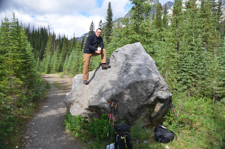
A first opportunity to try out those new scrambling boots!

Hopping the wide streambed of Burstall Creek.
It’s quite boggy here – best to wear old shoes and just get them wet.
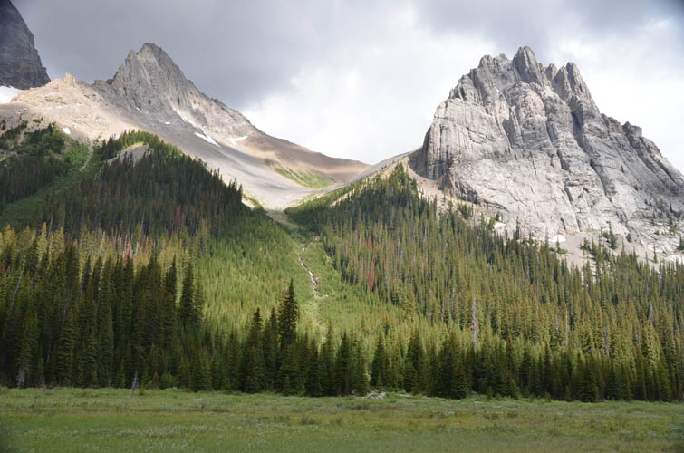
This is a good view of the ascent gully leading up to the col between Commonwealth Peak on the right and Pigstail on the left.
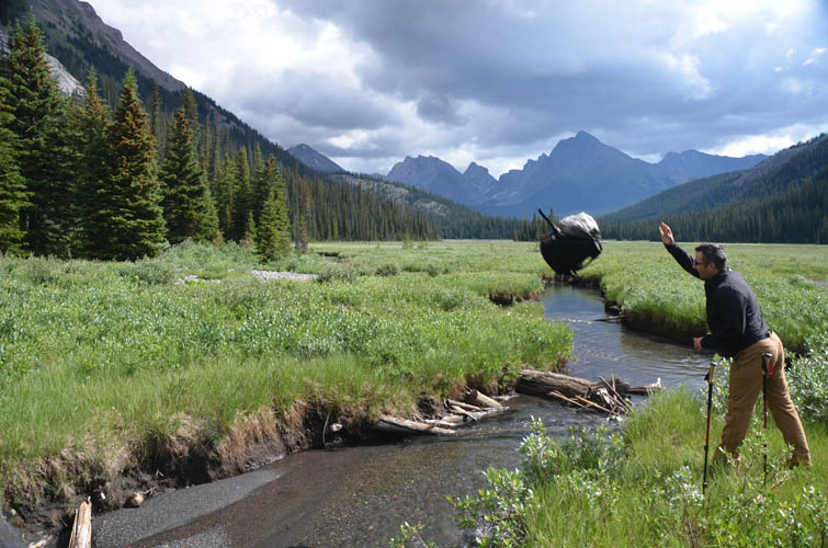
Let’s get that heavy backpack over the creek first…
The backpack landed in the water… and I think Serge did, too!
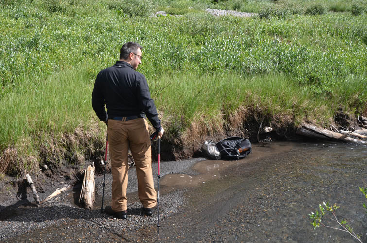
Pondering what went wrong here…
I think his face says it all: this is no fun!
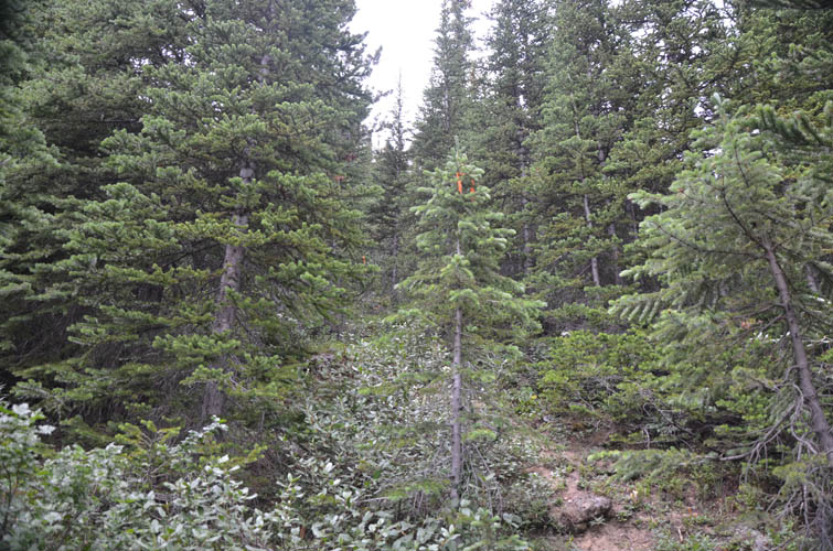
Thankfully, we get out of the bush soon and find hints of a trail, aided by orange flagging.
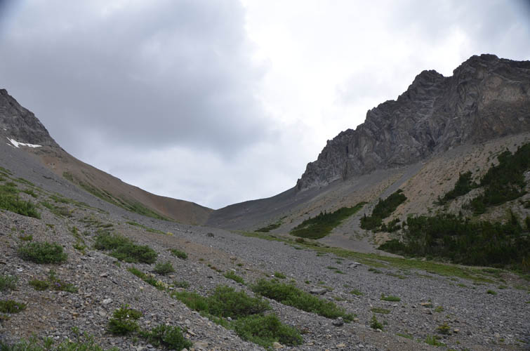
Higher up, the gully widens and it’s mostly easy going on scree.
Looking back south at Burstall Creek.
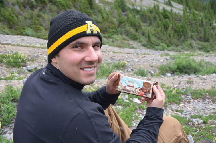
A well-deserved break with some genuine Estonian chocolate 🙂
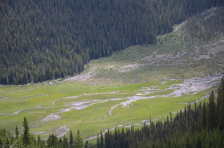
Now that we’re higher up, the true scale of the boggy flats below becomes apparent.
Mount Sir Douglas to the south.
At the col.
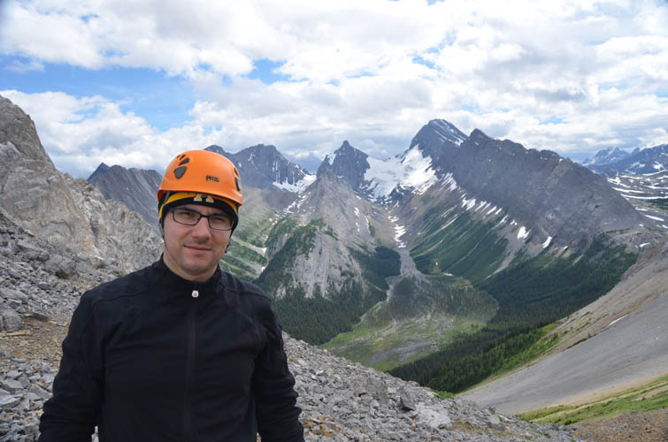
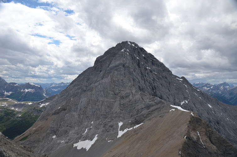
Commonwealth Peak is right behind me.
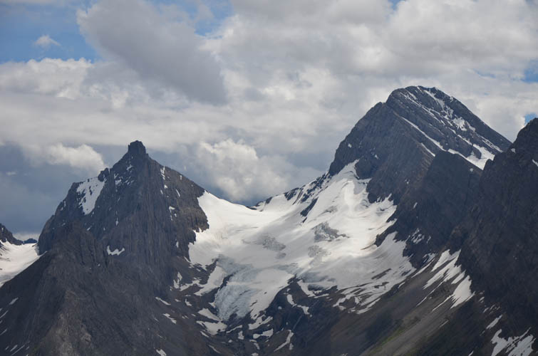
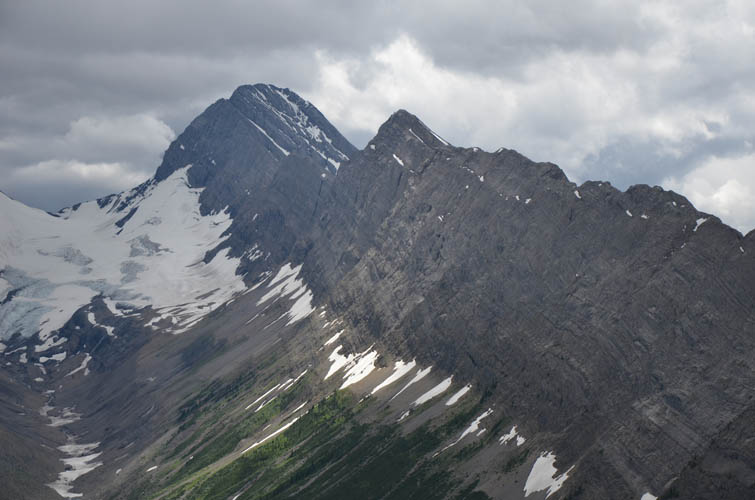
Close-up of Mount Sir Douglas (right) and Mount Robertson (left).
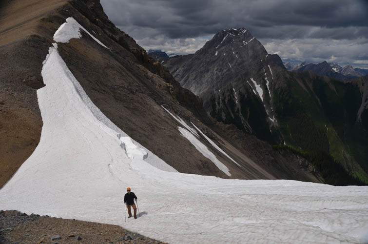
This year the col is still holding a large snow apron on its northern flank.
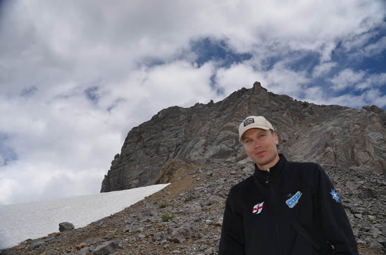
Serge at the col.
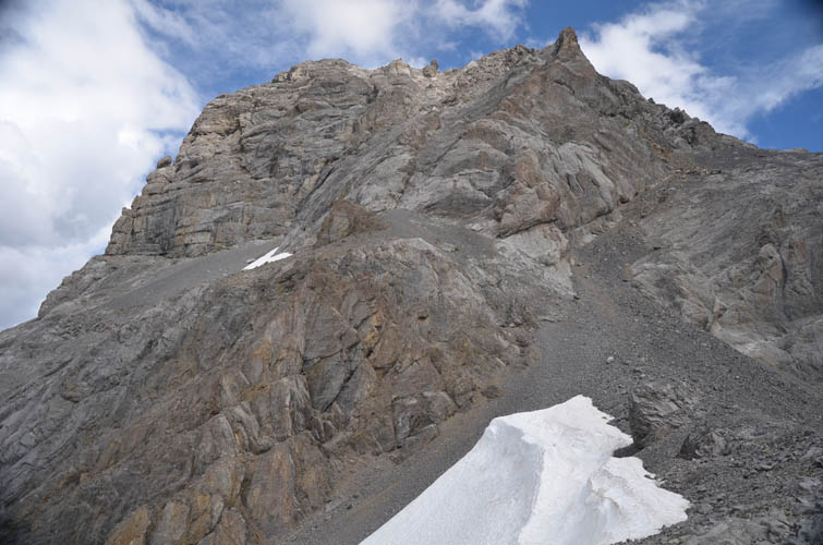
The route up the summit mass of Commonwealth Peak is via the scree gully on the right, then up narrow gullies to the left.
Half way up I catch a glimpse of Mount Smuts.
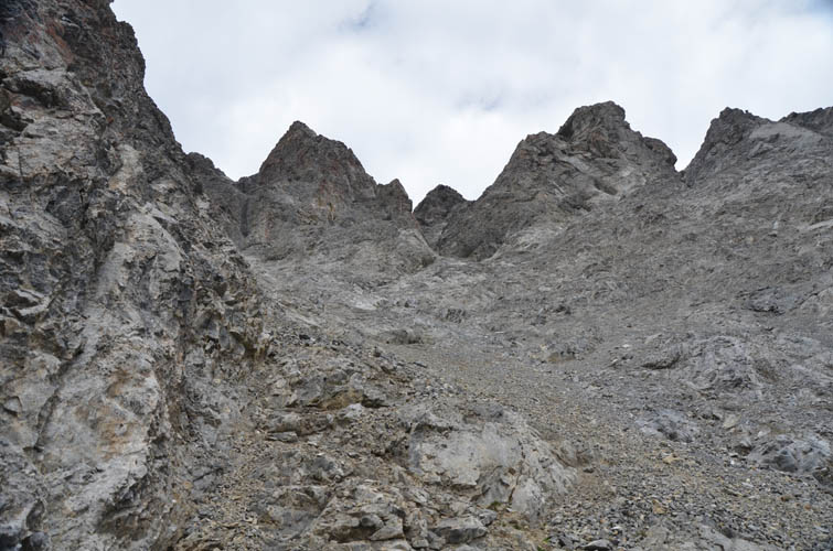
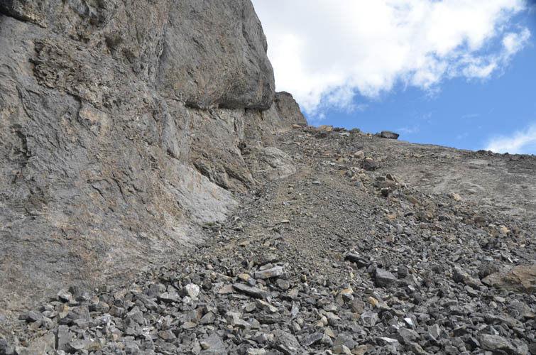
Typical terrain in the upper gullies.
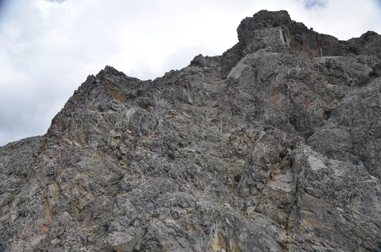
Some fun scrambling here near the summit, but it’s very short.
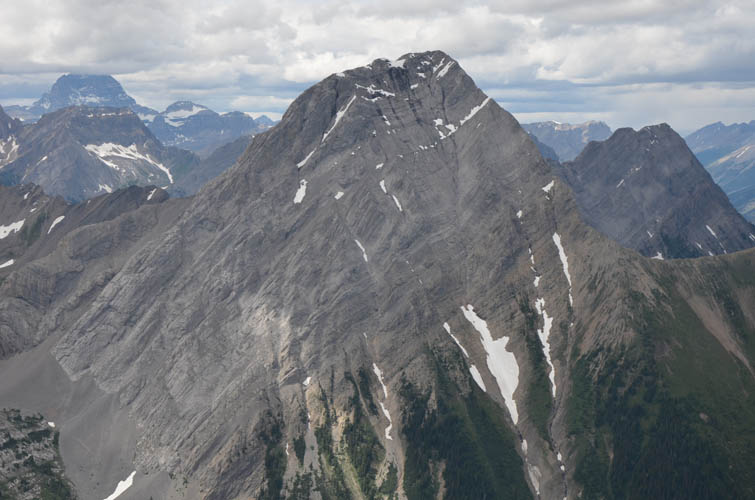
Looking back at Mount Birdwood.
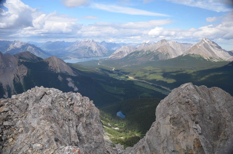
From the summit, Spray Lake appears in the distance to the north.

The Fist (left) and Tent Ridge.
Mount Smuts.
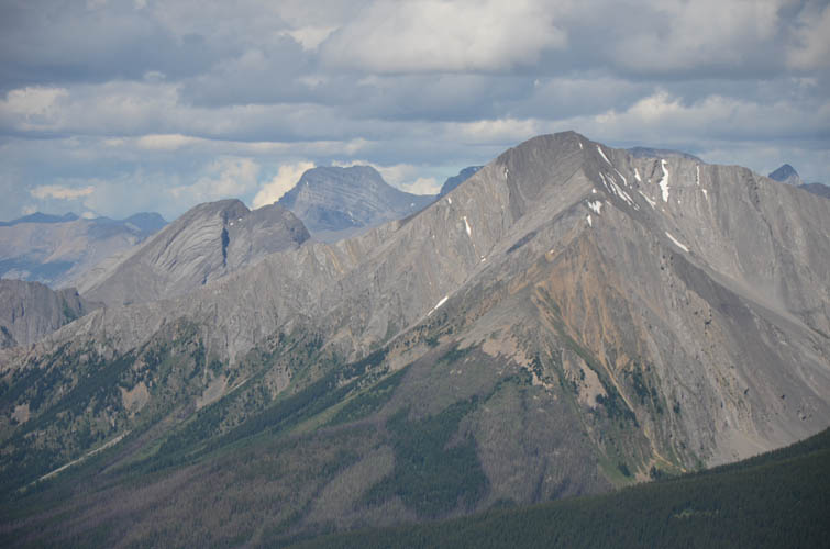
These peaks have a very characteristic look, but I don’t know what they are.
Mount Engadine (right) and Mount Buller (low peak on the left).
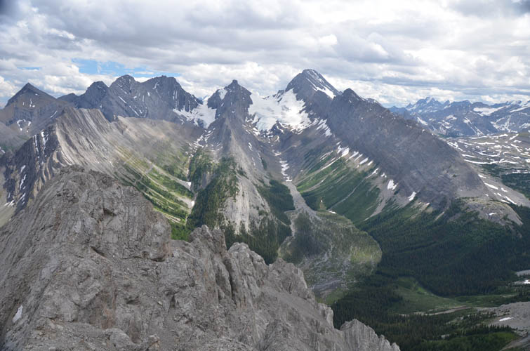
A look back at the peaks surrounding Robertson Glacier.
The treadmill rubble that was so tedious on the ascent now proves to be helpful on the return.
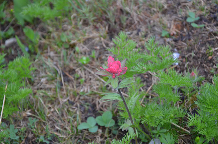
Beautiful flowers lower down in the valley. I think this is simply Indian Paintbrush.
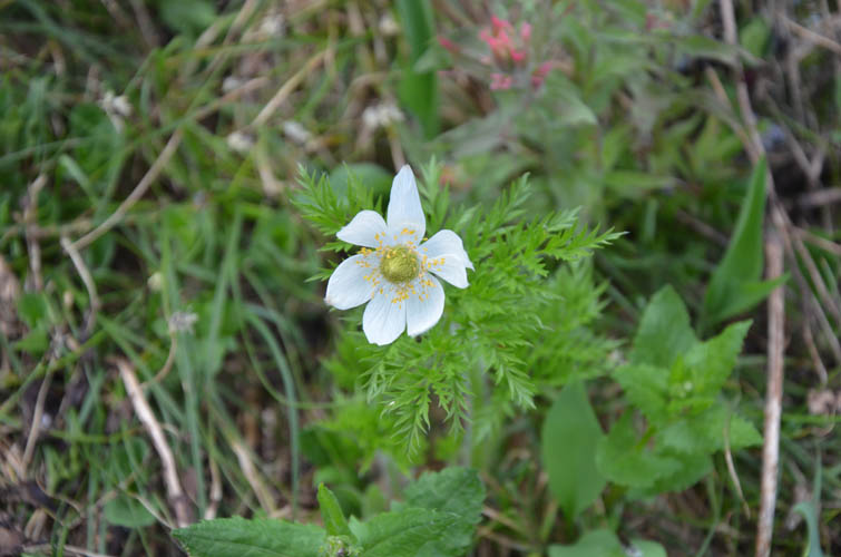
White Pasqueflower.
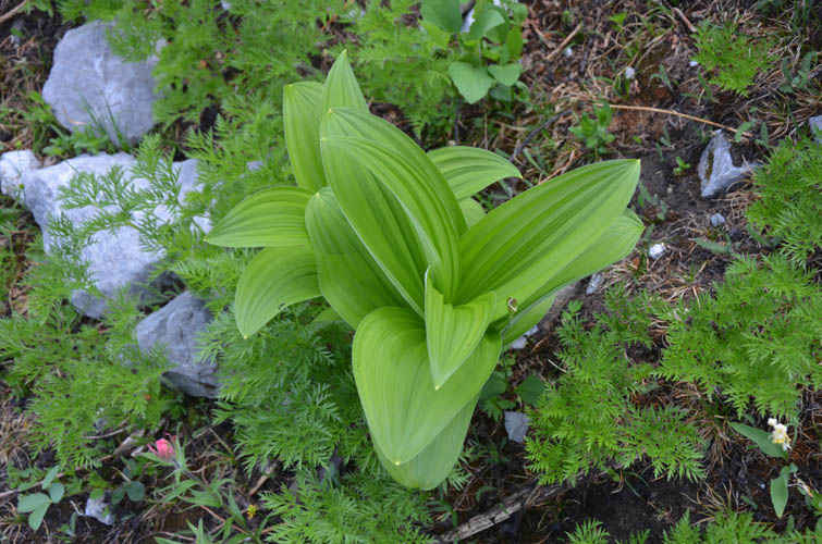
This plant is quite common in places.
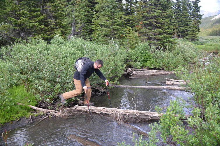
Creek crossing on the way back.
Crossing the flats was easier further to the west, where water levels were shallowest.