Pyrenees, France
9 June 2018
With Wen
Our original objective was Pic Carlit, one of the most popular mountains in the French Pyrenees. The night before our planned ascent we heard several vague stories of people who had required crampons to get up the crux, apparently a steep, iced-up slope just before the summit.
The morning arrived and we still weren’t sure whether we should give it a try. After all, we weren’t equipped for these types of conditions (no crampons or ice axe). Arriving at the turn-off for Carlit by the Lac des Bouillouses, we asked a group of Spanish hikers who just shrugged and pointed at another beautiful mountain instead. Puig Peric is where they were heading today. Peric? We’d never heard of it before, but we could see it right in front of us on the other side of the lake: an impressive looking peak with a long south ridge and a small sister peak sitting to its right.
Feeling still a bit queasy about Carlit, we took a spontaneous decision and changed our objective to the hitherto unknown-to-us Peric. And I’m glad we did – it was one fine outing!
After a lengthy approach along the western lakeshore trail of the Lac des Bouillouses, we lost the trail in a large patch of snow just before a meandering creek that we had to cross. It was pretty fast-flowing in most places and it took us a while to find the best place to wade through it safely. In our zeal to get the painfully cold crossing over and done with – of course we’re used to so much of this from the Canadian Rockies – we completely ignored the possibility that our lost trail might actually lead to a better crossing somewhere else. Or perhaps even a bridge? Yes, a BRIDGE! Only a hundred metres downstream hidden between the trees, where we could’ve walked over the river instead of messing around for an hour taking our boots off and on again… But it was too late, we only discovered it when we reached the other side. Well, you never stop learning I guess J.
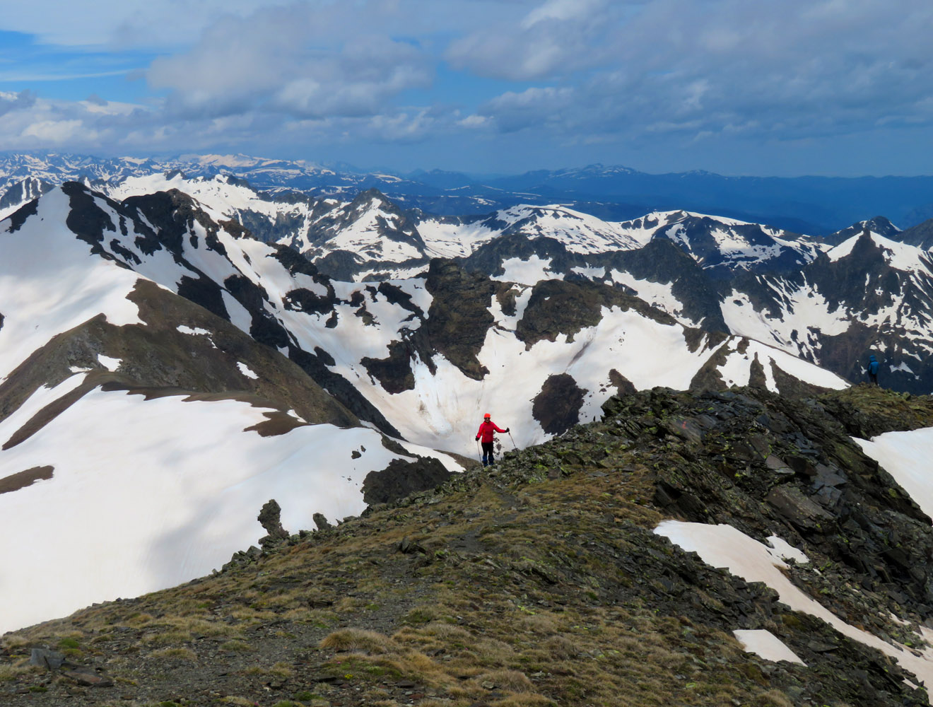
Thankfully, this was the only mistake we made today. We followed an unofficial trail through light forest and across patches of deep snow to the south ridge, which was simply a delight to scramble! There were a series of small ups and downs, with several short challenges, but nothing too serious (probably all of moderate difficulty). The ridge took us much longer than anticipated, in part because it was uncomfortably windy and chilly up here. We trudged on and eventually reached the summit of Puig Perig, the reward being absolutely stellar views of innumerable snow-clad peaks and valleys we had never seen before. A fellow scrambler, Sylvain from Montpellier, was already chilling at the top and generously shared his extensive knowledge of the surrounding mountains with us.
Sylvain also warned us about our planned descent route down the east side towards Petit Peric: there was a steep patch of hard snow in one section that made him pull out his ice axe. Wary of the danger, we tested out the snow in a safe spot first – it had softened up enough now by now to allow us to kick-step into it, slowly working our way across and back onto firm rock. A short scramble and we were down at the saddle from where it was an easy hike up to Petit Peric. By now, we spotted four or five other parties advancing on Puig Peric, either via the south ridge or by way of hiking up the valley to the east.
From Petit Peric we followed a faint trail south, a no-brainer descent involving a fun scree run and some snow sliding. At the bottom of Petit Peric’s south ridge we could’ve turned right and joined up with our ascent route again, but instead we crossed a lovely area of pathless meadows, lakes and trees to reach an official trail by the complicated name of “GR de Pays du Tour du Capcir”. It led to the Cabana de la Balmeta shelter and then looped back to the main lakeshore trail via the bridge we had missed in the morning.
Although our ascent up Pic Carlit was foiled today, Puig Peric was a terrific replacement that more than made up for it. It was certainly not a short outing and demanded lots of energy, but we loved the mix of fun scrambling and pleasant hiking through an area of immense natural beauty.

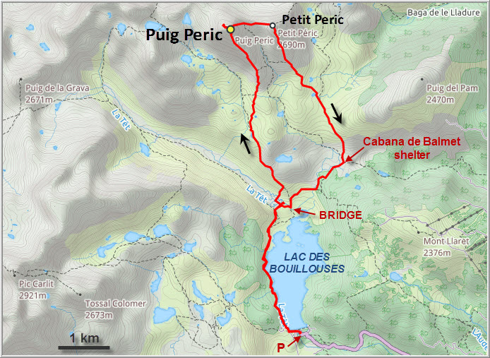
DISCLAIMER: Use at your own risk for general guidance only! Do not follow this GPX track blindly but use your own judgement in assessing terrain and choosing the safest route.
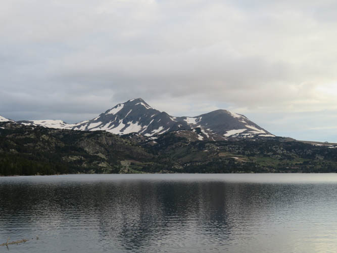
Puig Peric (L) and Petit Peric (R) from the Lac des Bouillouses in the morning.
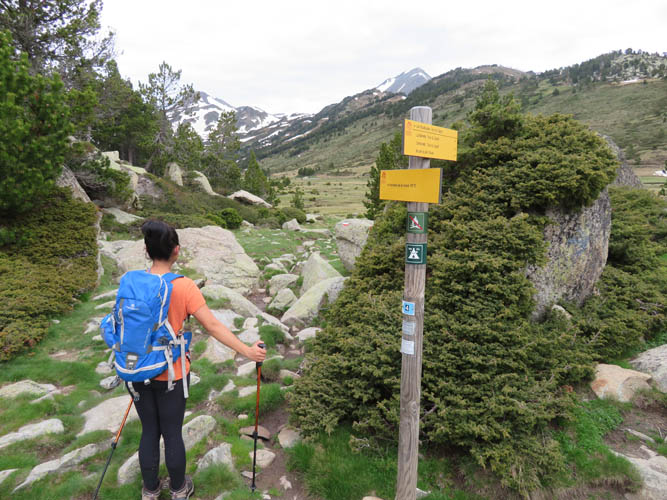
Near the end of the lakeshore trail.
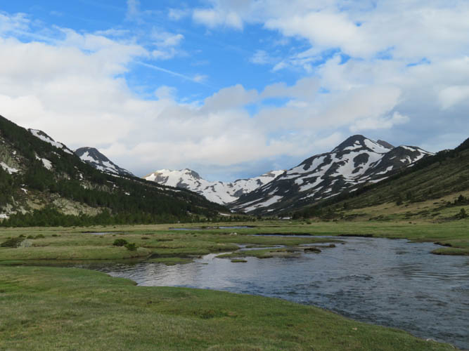
This is the creek that drains into the lake. We thought we had to cross it on foot, but it turns out there is a bridge just a 100 m downstream!
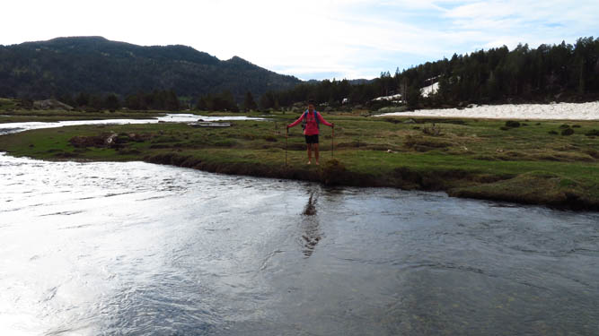
Wen getting ready for an icy, knee-deep river crossing.
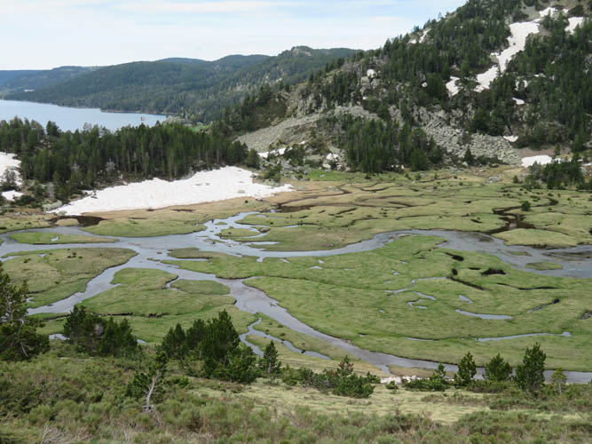
The meandering creek from above, with Lac des Bouillouses on the left.
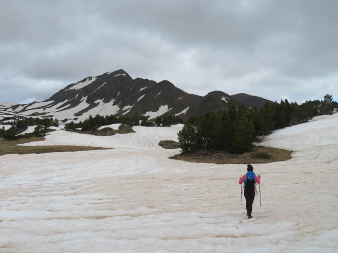
It’s a long approach to Puig Peric!
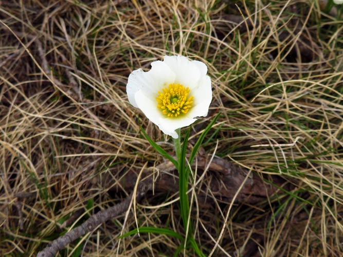
Here and there some rare wildflowers pop up.
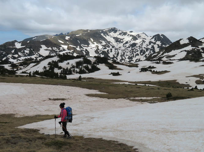
But much of the landscape is still covered in snow.
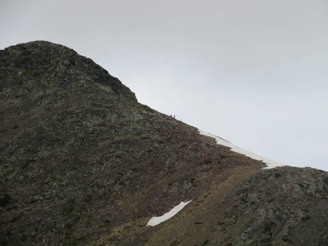
Two scramblers ahead of us on the south ridge.
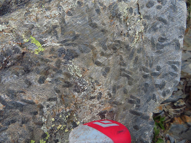
Some interesting rocks along the ridge. These could be trace fossils, left behind by animals churning up the ground millions of years ago.
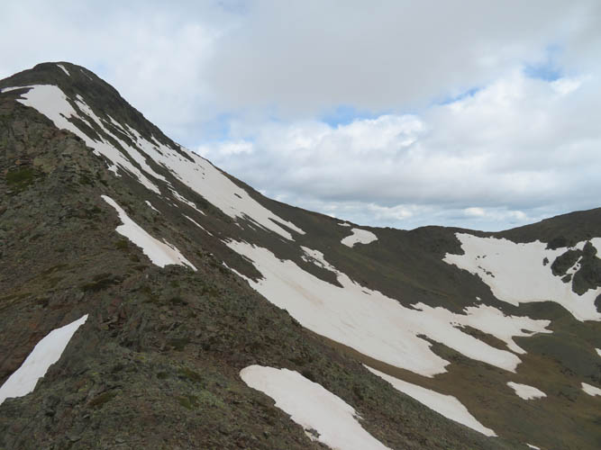
On the ridge to Puig Peric. The saddle between the main peak and its smaller neighbor to the right (Petit Peric) looks fairly gentle, but in reality it’s quite steep on the left.
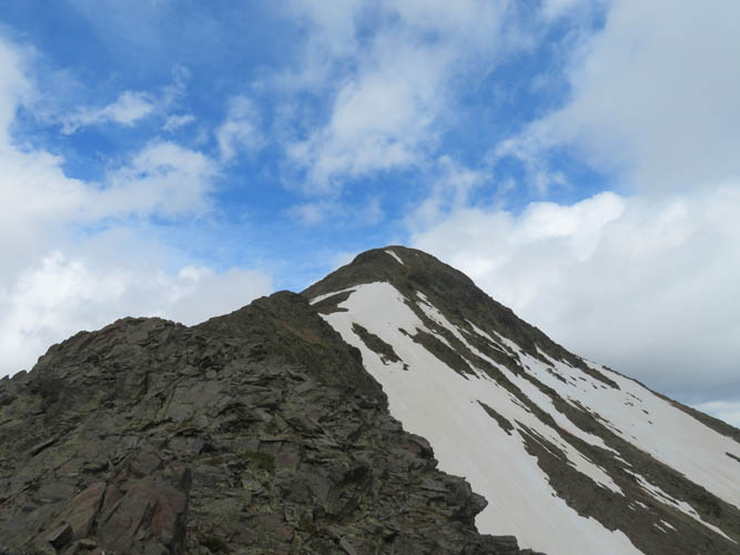
It’s a very enjoyable ridge walk/scramble.
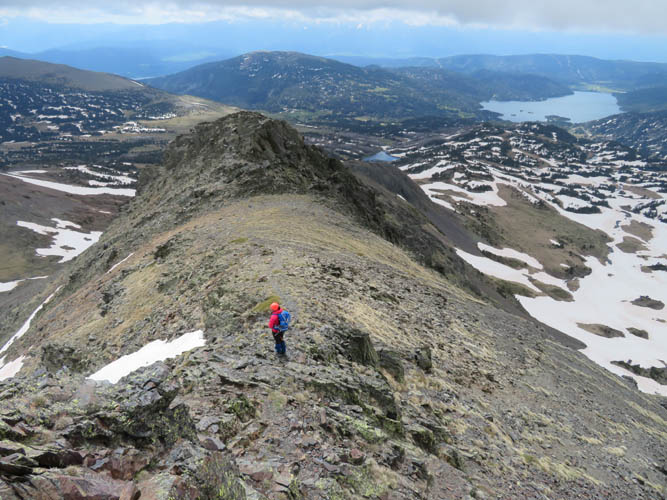
Most of the ridge is a hike, but there is also some easy to moderate scrambling.
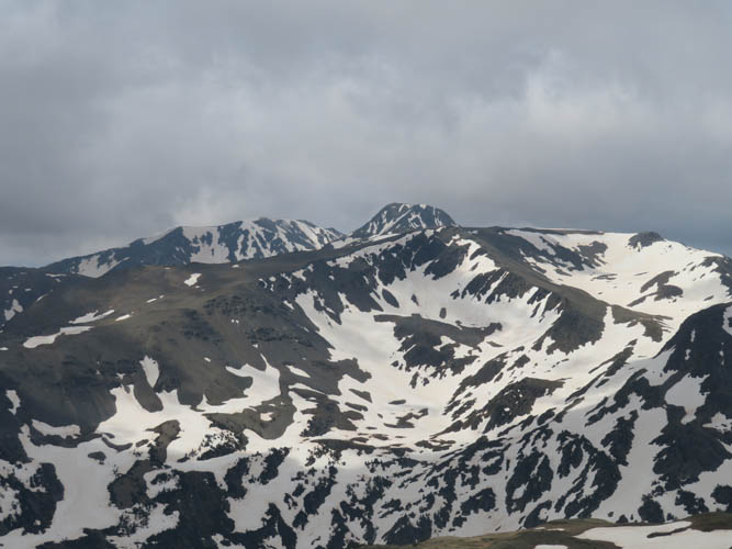
Pic Carlit to the SW.
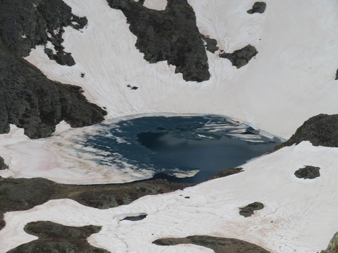
Small lakes are still partially frozen up here!
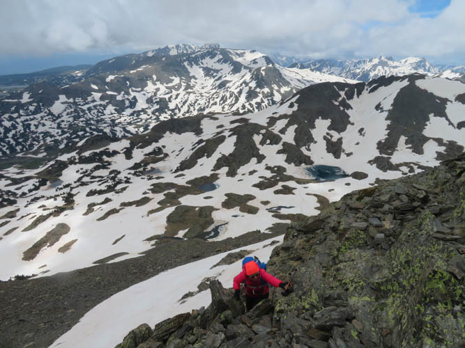
One of the more challenging scramble sections.
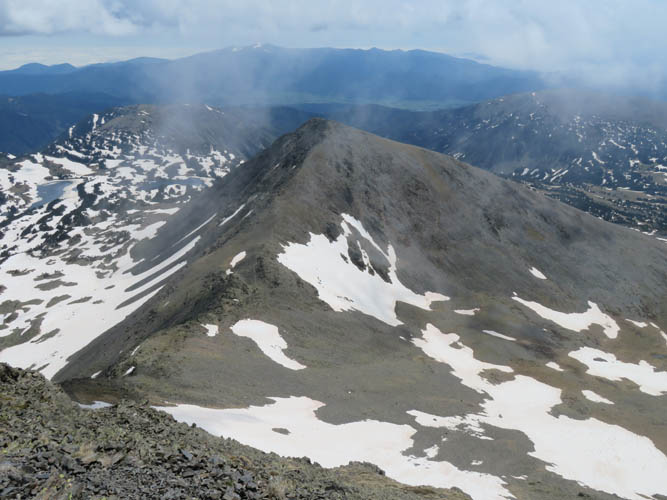
Near the summit, looking east towards Petit Peric as clouds are starting to haze up the sky.
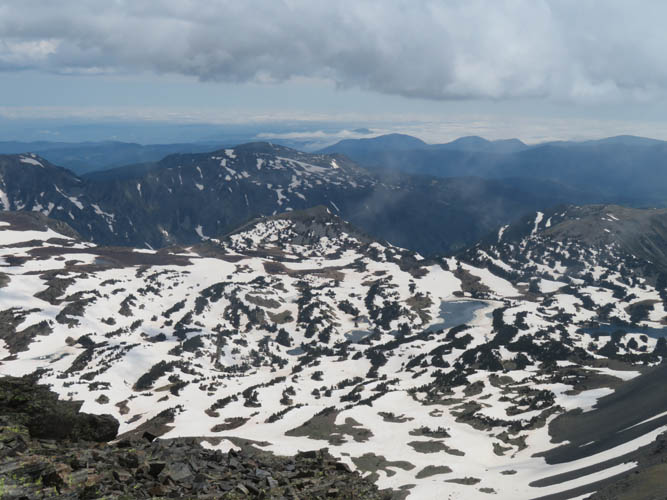
Great views from the summit!

I wonder how we would’ve fared on Pic Carlit today, the tall peak on the left?
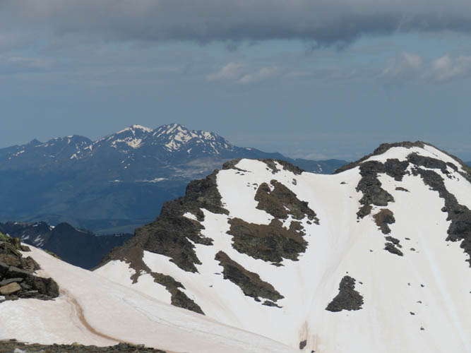
This is a great area for exploring. So many interesting peaks and ridges! The snow-covered mountain in the foreground is called Puig de la Portella Gran.
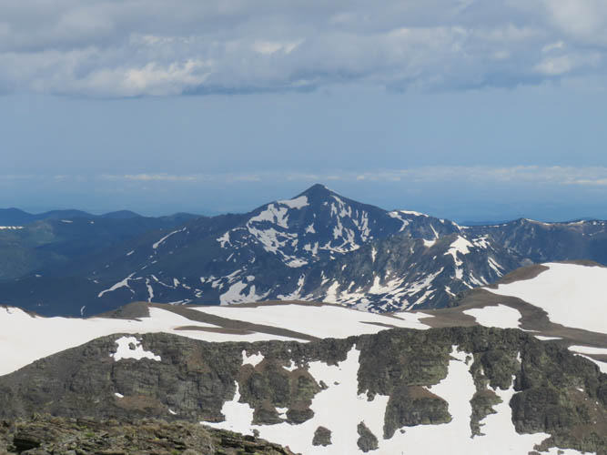
You could spend weeks here and climb a new peak every day!
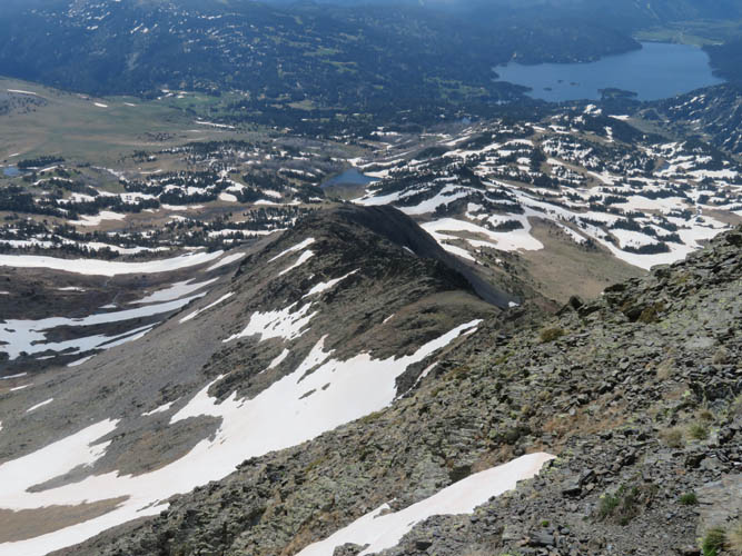
Another look back at the south ridge, our ascent route.
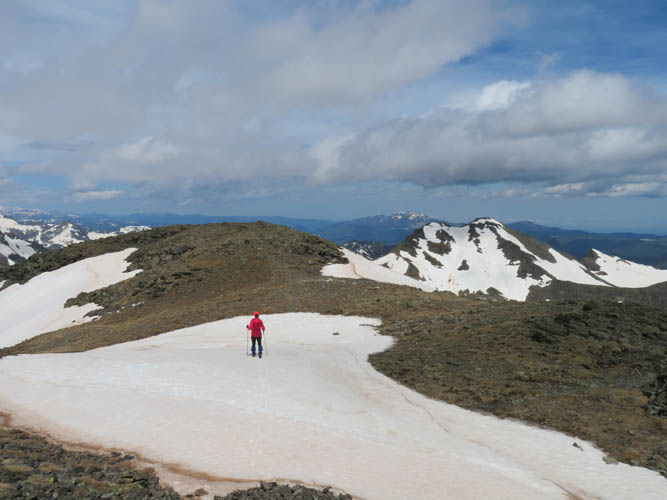
Wen at the summit.
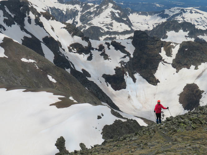
Several options for traversing to adjacent peaks exist, but at this time of the year with all the lingering snow none of these really appealed to us.
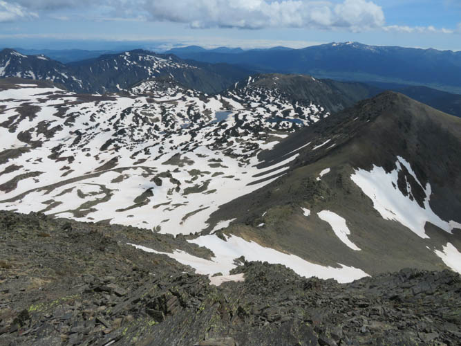
Looking down the east side of Puig Peric and the connecting ridge to Petit Peric (far right). The steep snow patch at the bottom of the picture is the tricky section.
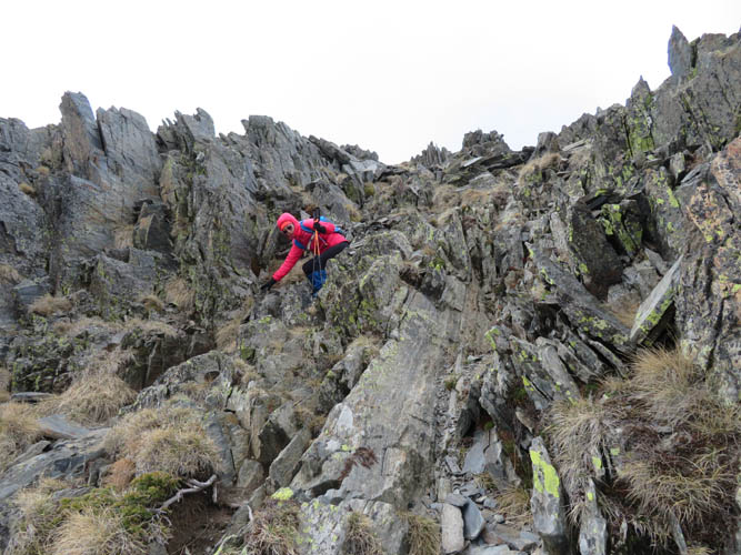
Descent down the east side of Puig Peric. Fun scrambling on mostly solid rock.
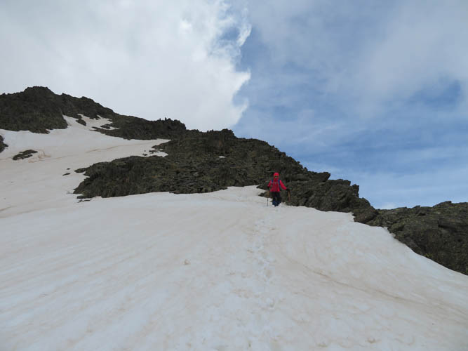
And one short but steep snow patch. Kick-stepping worked, but an ice axe would’ve been ideal. Thankfully, the run-off was pretty gentle with no cliffs or other barriers below.
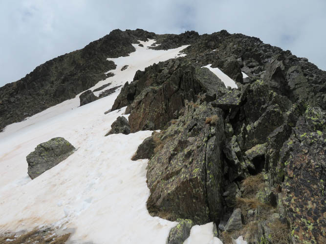
Looking back up at Puig Peric, just below the tricky section.
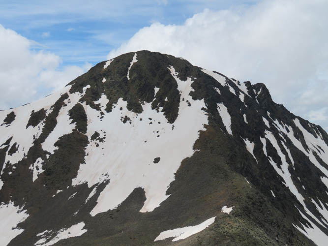
And here’s another view of Puig Peric from Petit Peric. From this angle the east face looks way steeper than it is!
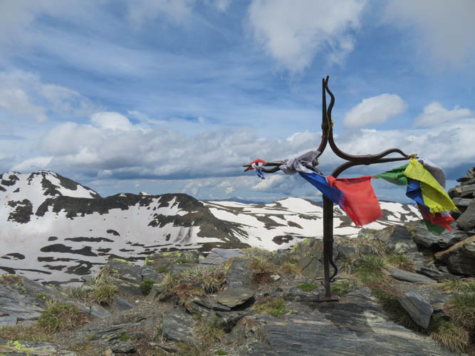
Summit cross on Petit Peric. No scrambling is needed to reach this peak.
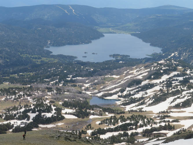
Two hikers are heading down the gentle grassy south ridge of Petit Peric.

We cross over some meadows to reconnect with the official trail.
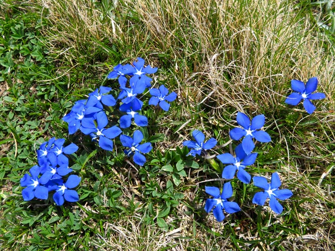
Beautiful bright blue wildflowers.
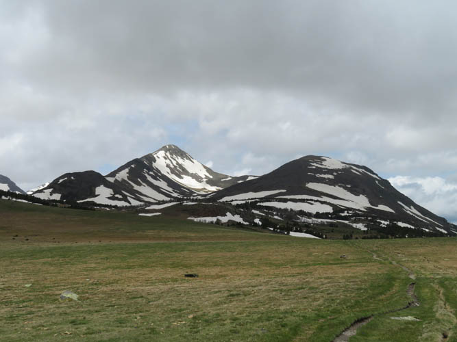
Looking back at the Perics.

And one last shot from the dam at Lac des Bouillouses.