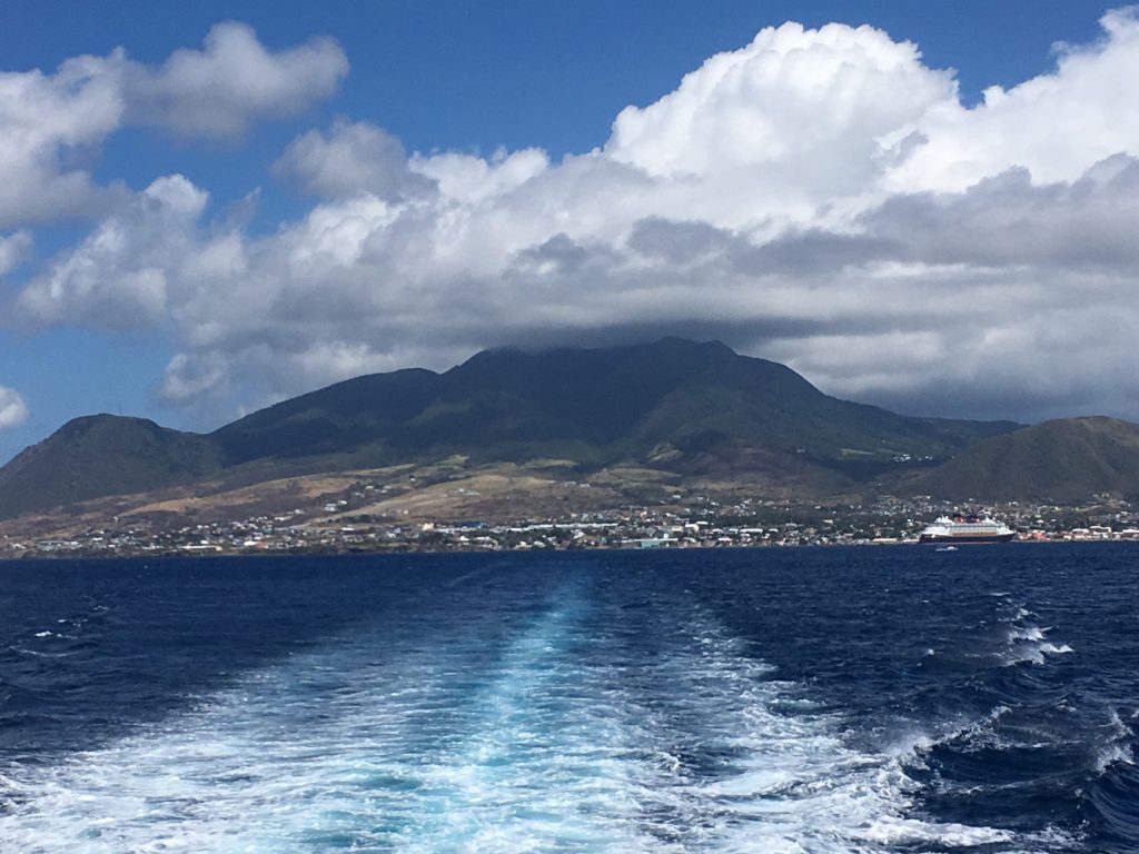
23 April 2017
With Wen
Nevis Peak was such a delightful hike! It was our first proper jungle experience during our vacation and we were both glad we took the challenge and braced all the slippery mud, rocks and roots that come with it.
Without a GPS track we were at first a bit concerned about being able to find the trailhead from the main island road. Some scouting of satellite images a few days prior really helped and we ended up having no trouble at all finding the trail.
After hitchhiking with a friendly fellow from Charlestown to the village of Gingerland, we started up the road from “Clarke’s One Stop Restaurant and Sports Bar”, which was still closed at this time (830 am) on Sunday morning. Walking up to a T intersection, we turned right, then left again at “Poor Man’s Bar”, which – no surprise – was already open for business. From here the rest was pretty straightforward. The road gradually narrows and eventually peters out at “Peak Heaven”, a sort of eco-farm that is currently not operational.
The trail for Nevis Peak starts right behind and is pretty easy to follow. The first section is at a relatively gentle grade through light trees and brush, then the path descends to a small gully and steeply rises up the other side of the gully, a rope in place to help you get up the slippery roots and mud. Once out of the gully, the trail then makes a sharp right turn and pretty much goes straight up continuously all the way to the summit. The higher we got, the more obstacles we came across, mostly in the form of large rock steps, boulders, and steep muddy inclines. Most of these had ropes fixed to trees, making it much easier to go up (and even more so down!). It’s super slippery, especially higher up where the humidity increases enormously once you hit the cloud level. We loved being right in the middle of the rain forest and so up-close with nature.
At just under 1000 m elevation, the summit is not high enough to be above treeline so there are no rocks here and it is completely vegetated. And it’s quite unique! I’ve never seen a summit that consists of a small flat grassy patch surrounded by a “hedge” of thick tropical bushes. Ideal for a picnic and an extended nap up here! In one corner of the patch a white plastic box with a register, filled to the brim, attests to the popularity of this hike. Unfortunately, we had absolutely zero views, the clouds were just too thick. There was a chilly breeze, so we donned our rain jackets and had a very comfortable 3 hour snooze in our little “island in the clouds”.
Going down took almost as long as going up. The roped sections take some care to negotiate, especially if you’re not used to downclimbing or have never repelled before (it’s somewhat similar to that). We were so glad to have our gardening gloves, which allow you to just grab roots, ropes and trees and all without worrying about your skin coming off.
This was a very enjoyable trip. It’s fun and challenging at the same time, and snoozing in a bed of grass on top of the summit just feels great. We also had the whole mountain to ourselves today, except about half-way up we ran into a young American couple and their guide, who were on their way down. They had taken the smart decision to get up really early, thereby avoiding the worst of the day’s heat. Having a local guide is also a great idea and highly recommended for casual hikers who don’t have all the necessary gear and may not feel comfortable in this type of terrain.
Note: Good, sturdy hiking boots, gardening gloves (for holding on to ropes and trees) and lots of water (at least 3 litres per person) are strongly recommended for this hike.

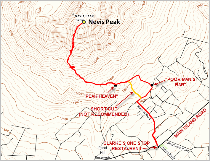
DISCLAIMER: Use at your own risk for general guidance only! Do not follow this GPX track blindly but use your own judgement in assessing terrain and choosing the safest route.
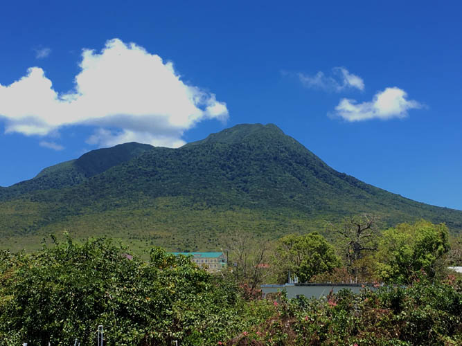
Nevis Peak the day before our hike: the summit is clear of clouds, a rare phenomenon! Unfortuantely, we weren’t that lucky the next day.
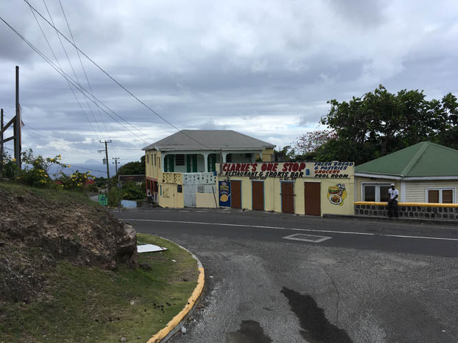
The starting point: Clarke’s One Stop “Restaurant” along the island’s main road – more of a convenience store really.
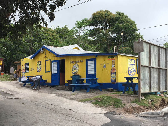
Bars on the island are usually colourful affairs. And they open early (it’s about 9 am now)! This is Poor Man’s Bar.
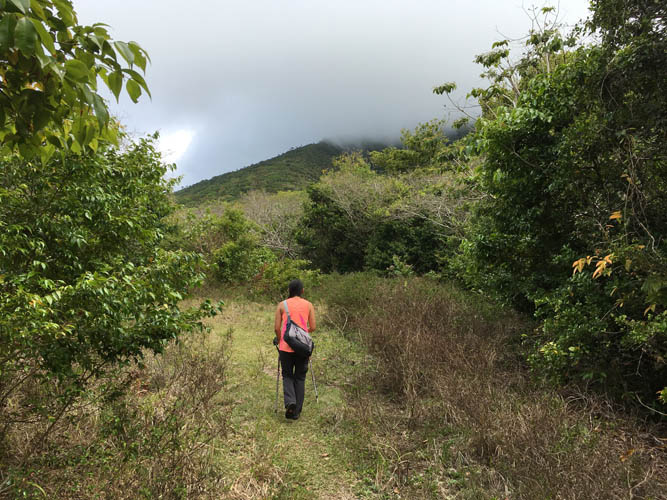
Starting our hike on a very good trail.
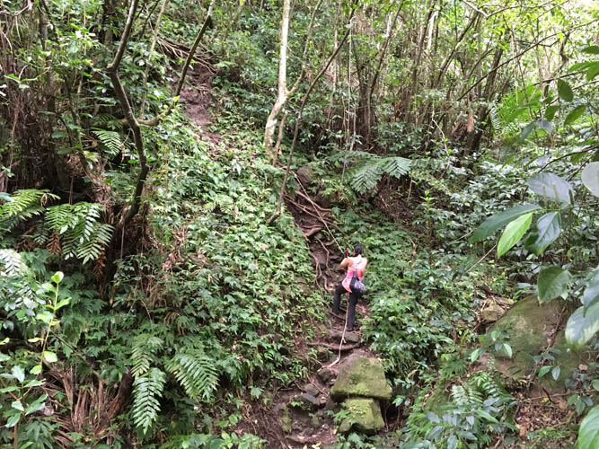
The first roped section on the side of the gully.
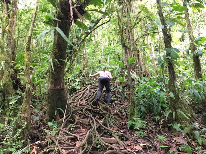
What a unique “root path”, just watch your ankles!
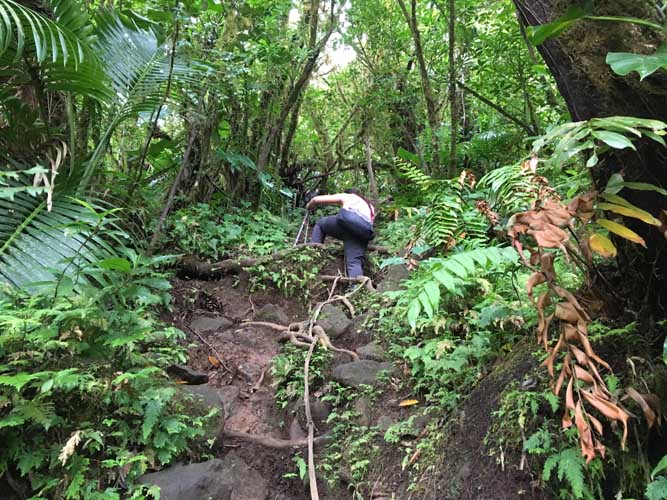
Lots of steep slippery sections higher up. The ropes help a great deal.
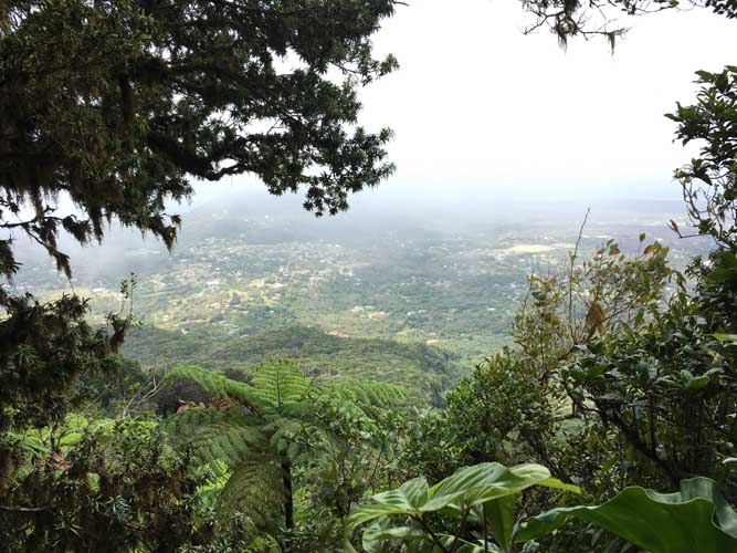
One of the rare viewpoints. We are already too high in the clouds to see much.
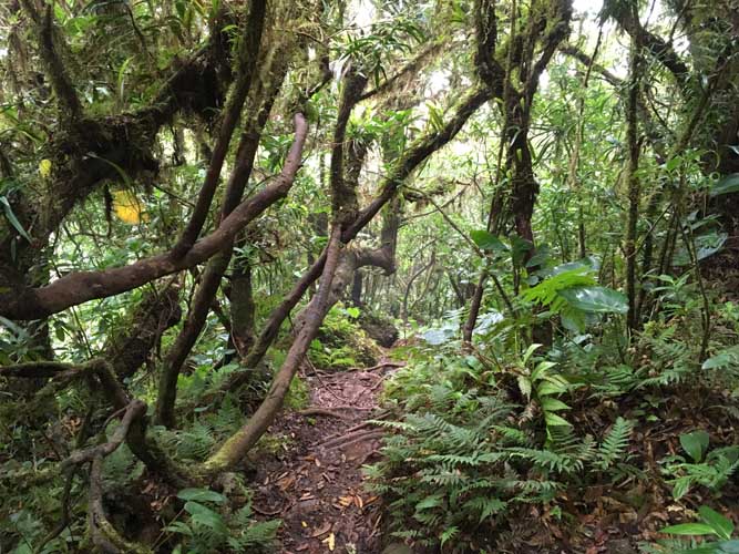
Typical jungle scenery.
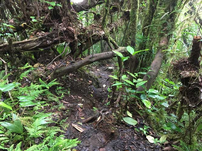
It’s impossible not to get muddy and wet here.
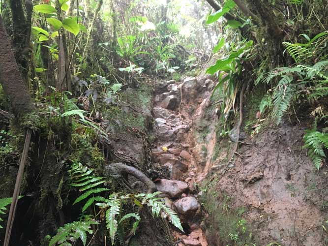
One of the last steep sections that require some short scrambling.
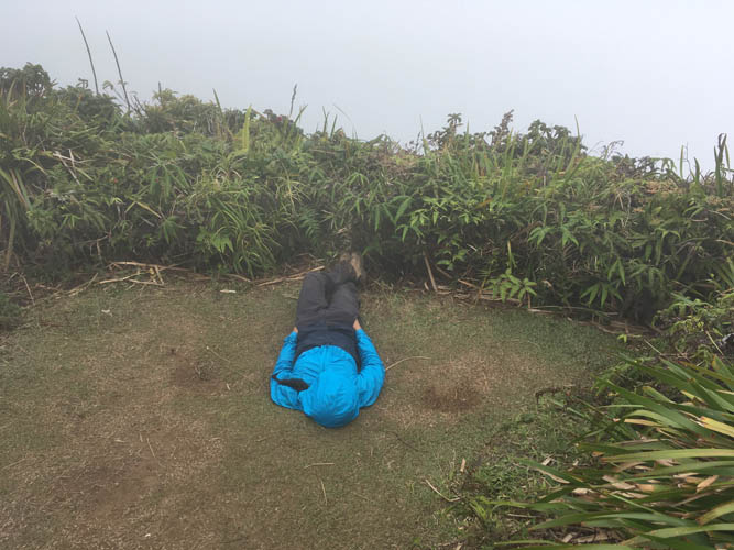
Summit nap!
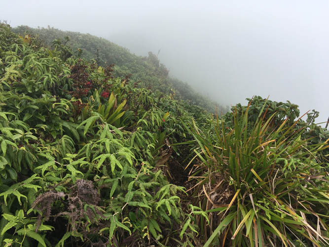
A very rough and overgrown trail appears to lead down the other side from the peak. We would’ve loved to investigate…. but chose a good snooze instead!
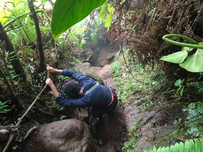
Descending the steep sections is often trickier than going up.
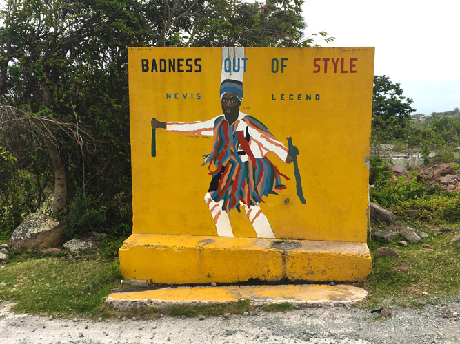
Nuff said.